2000s (21st Century) Maps of Calabasas, California
Explore 12 historic maps of Calabasas from the 2000s (21st Century). These maps offer a rare glimpse into what life looked like during the 2000s — showing old roads, neighborhoods, homes, and landmarks that have changed or disappeared over time.
Whether you're researching your family's past, planning a metal detecting trip, or studying how Calabasas's landscape evolved across the 2000s, these high-resolution maps are a powerful tool for exploring the history of this region.
- Focus on a specific era: All maps on this page are from the 2000s, giving you a focused view of this time period.
- See what’s changed: Compare century-old streets, trails, and buildings to today's modern landscape using overlays and satellite layers.
- Research with precision: Use these maps for genealogy, historical research, land use analysis, or educational projects.
- View, download, or print: Maps are fully viewable online in high resolution, and can be downloaded or printed for your own records.
Start exploring Calabasas's history through authentic maps from the 2000s. This is your window into the past.
Calabasas, CA maps
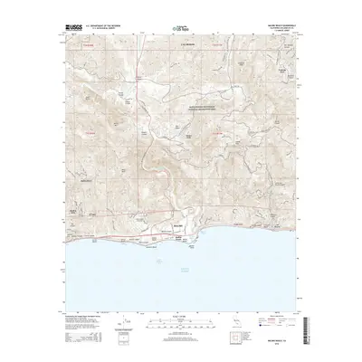
(12)- 2012 Map of Malibu Beach, 2012 Print
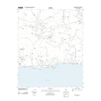 2012 Malibu Beach2012 Print · USGSCovers Calabasas, including Malibu, Unincorporated Santa Monica Mountains, and other nearby areas
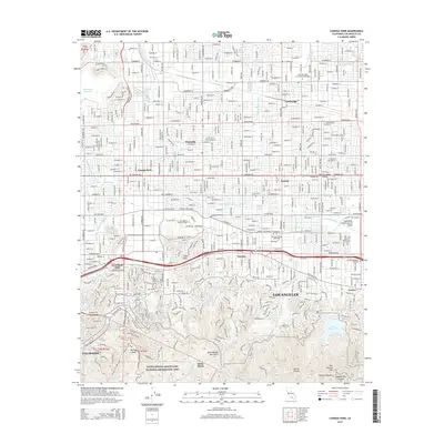
 - 2012 Map of Canoga Park, 2012 Print
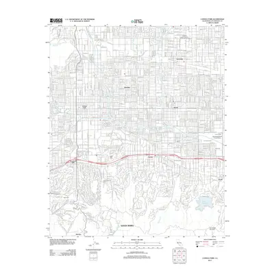 2012 Canoga Park2012 Print · USGSCovers Calabasas, including Los Angeles, Top O' Topanga, and other nearby areas
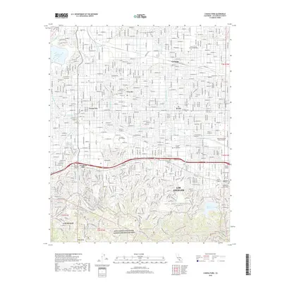
 - 2012 Map of Calabasas, 2012 Print
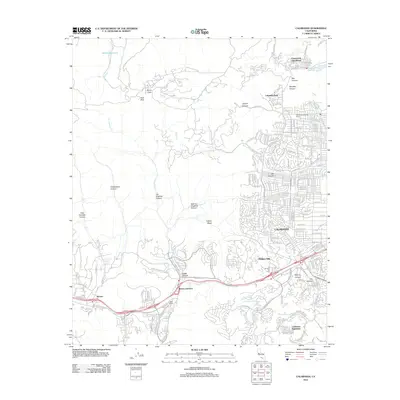 2012 Calabasas2012 Print · USGSCovers Calabasas, including Los Angeles, Simi Valley, and other nearby areas
 - 2015 Map of Calabasas, 2015 Print
 2015 Calabasas2015 Print · USGSCovers Calabasas, including Los Angeles, Simi Valley, and other nearby areas
 - 2015 Map of Malibu Beach, 2015 Print
 2015 Malibu Beach2015 Print · USGSCovers Calabasas, including Malibu, Unincorporated Santa Monica Mountains, and other nearby areas
 - 2015 Map of Canoga Park, 2015 Print
 2015 Canoga Park2015 Print · USGSCovers Calabasas, including Los Angeles, Top O' Topanga, and other nearby areas
 - 2018 Map of Canoga Park, 2018 Print
 2018 Canoga Park2018 Print · USGSCovers Calabasas, including Los Angeles, Top O' Topanga, and other nearby areas
 - 2018 Map of Calabasas, 2018 Print
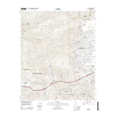
 2018 Calabasas2018 Print · USGSCovers Calabasas, including Los Angeles, Simi Valley, and other nearby areas
 - 2018 Map of Malibu Beach, 2018 Print
 2018 Malibu Beach2018 Print · USGSCovers Calabasas, including Malibu, Unincorporated Santa Monica Mountains, and other nearby areas
 - 2022 Map of Calabasas, 2022 Print
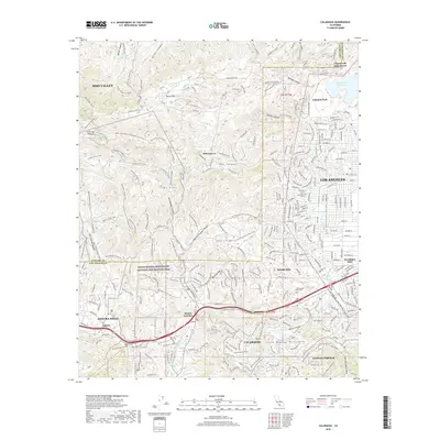
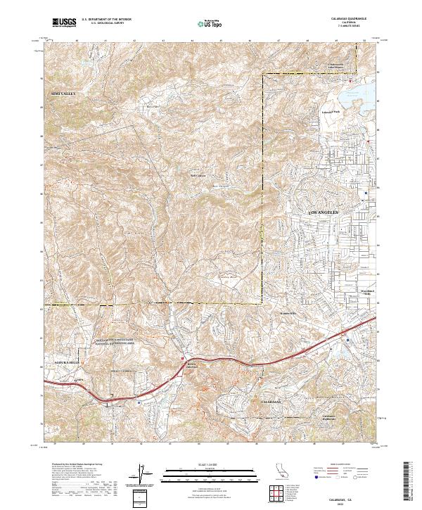 2022 Calabasas2022 Print · USGSThe western San Fernando Valley meets the Santa Monica Mountains in this modern survey of the Los Angeles and Ventura border. Trace the extensive trail network through Laskey Mesa or locate neighborhoods from Hidden Hills to Brents Junction.
 - 2022 Map of Canoga Park, 2022 Print
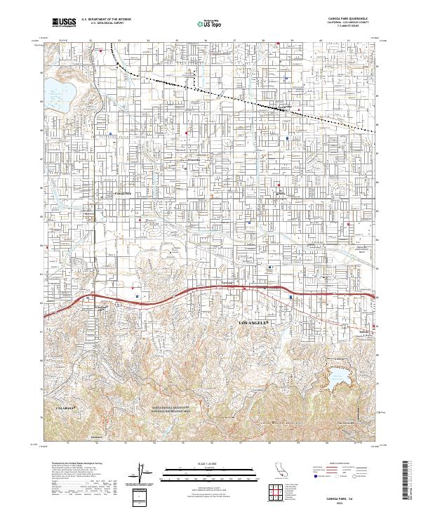 2022 Canoga Park2022 Print · USGSThe San Fernando Valley meets the northern ridgeline of the Santa Monica Mountains in this modern survey. Local historians can trace the suburban development of Northridge and Tarzana alongside landmarks like Los Angeles Pierce College.
 - 2022 Map of Malibu Beach, 2022 Print
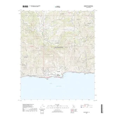
 2022 Malibu Beach2022 Print · USGSThe Santa Monica Mountains meet the Pacific shoreline in the early 2020s, revealing a landscape of steep canyons and coastal enclaves. Trace the development of Malibu Beach and Pepperdine University or explore the trails around Monte Nido.
End of results
Showing maps 1-12 of 12
Top cities near Calabasas
- Los Angeles historical maps
- Santa Clarita historical maps
- Thousand Oaks historical maps
- Simi Valley historical maps
- Santa Monica historical maps
- Culver City historical maps
See more
Top neighborhoods of Calabasas
Frequently asked questions
- What are the different types of historical maps available for Calabasas?
- What is the oldest map of Calabasas?
- Where can I purchase historical maps of Calabasas for my home or office?
- Where can I download high-res historical maps of Calabasas?
- Are there historical topographic maps available for Calabasas?
- Is there historical aerial imagery available for Calabasas?
- Where are historical maps of Calabasas sourced from?