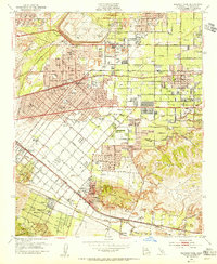
1950s Maps of Hacienda Heights, California
Explore 16 historic maps of Hacienda Heights from the 1950s. These maps offer a rare glimpse into what life looked like during the 1950s — showing old roads, neighborhoods, homes, and landmarks that have changed or disappeared over time.
Whether you're researching your family's past, planning a metal detecting trip, or studying how Hacienda Heights's landscape evolved across the 1950s, these high-resolution maps are a powerful tool for exploring the history of this region.
- Focus on a specific era: All maps on this page are from the 1950s, giving you a focused view of this time period.
- See what’s changed: Compare century-old streets, trails, and buildings to today's modern landscape using overlays and satellite layers.
- Research with precision: Use these maps for genealogy, historical research, land use analysis, or educational projects.
- View, download, or print: Maps are fully viewable online in high resolution, and can be downloaded or printed for your own records.
Start exploring Hacienda Heights's history through authentic maps from the 1950s. This is your window into the past.
Hacienda Heights, CA maps
(16)- 1950 Map of La Habra, 1955 Print
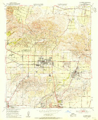 1950 La Habra1955 Print · USGSNorthern Orange County was a land of sprawling citrus ranches and active oil fields at the midpoint of the century. You can trace the transition from rural estates like Sunny Hills Ranch to the early suburban streets of La Habra and Buena Park.
 - 1951 Map of Whittier
 1951 Whittier1951 Print · USGSSoutheast Los Angeles County undergoes a massive mid-century transformation as citrus groves give way to suburban tracts and oil infrastructure. Researchers can trace the development of Santa Fe Springs and Whittier alongside landmarks like the Pio Pico Mansion State Historical Monument and Whittier College.2 unique versions available
 - 1952 Map of La Habra
 1952 La Habra1952 Print · USGSThe northern Orange County borderlands and Puente Hills are captured here during a pivotal era of suburban and industrial expansion. Trace the footprints of historic agricultural estates like Leffingwell Ranch or find the early oil derricks and tanks near Brea and La Habra Heights.2 unique versions available
 - 1953 Map of San Bernardino
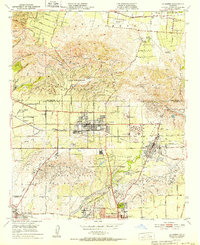
 1953 San Bernardino1953 Print · USGSSouthern California underwent massive post-war growth as suburban sprawl reached the foothills of the San Bernardino Mountains. Genealogists and historians can trace the rail-and-road roots of the Inland Empire through the Union Pacific RR and Lake Arrowhead resorts.2 unique versions available
 - 1953 Map of El Monte, 1955 Print
 1953 El Monte1955 Print · USGSThe San Gabriel Valley was undergoing a massive suburban transformation in the early fifties. Genealogists and local historians can trace the footprint of the San Gabriel Mission, the Pasadena-Rosemead Airport, and numerous Oil Wells before the valley's open lands were fully developed.2 unique versions available
 - 1953 Map of Baldwin Park, 1955 Print
 1953 Baldwin Park1955 Print · USGSThe San Gabriel Valley in the mid-fifties is captured here as orange groves and river washes give way to suburban sprawl. Researchers can trace the legacy of local schools and specialized facilities like St Johns School or the Sierra Lodge Sanitarium.2 unique versions available
 - 1955 Map of Los Angeles
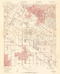
 1955 Los Angeles1955 Print · USGSThe mid-century transformation of Southern California comes into focus as the urban sprawl of Los Angeles meets the wilderness of the Santa Monica Mountains. Researchers can trace the development of post-war suburbs alongside historic landmarks like the Santa Barbara Lighthouse and early industrial sites such as the Good Luck Mine.
 - 1956 Map of San Bernardino
 1956 San Bernardino1956 Print · USGSSouthern California's Inland Empire and High Desert come into focus in the mid-fifties as agriculture gives way to suburban and military growth. Trace early rail lines like the Pacific Electric or find remote landmarks like Camp Rock Mine and George AFB.
 - 1956 Map of Santa Ana
 1956 Santa Ana1956 Print · USGSSouthern California underwent massive mid-century transformation as suburban growth met major military and water projects. Trace the postwar expansion of Santa Ana and Riverside, the layout of Camp Pendleton, and the path of the Colorado River Aqueduct.
 - 1957 Map of Long Beach
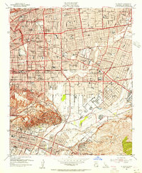
 1957 Long Beach1957 Print · USGSThe Los Angeles coast and the Channel Islands appear here during the mid-fifties era of rapid suburbanization and naval expansion. Genealogists and researchers can locate early industrial neighborhoods like South Gate and trace military boundaries at Ft MacArthur Upper Reservation or the remote San Nicolas Island.4 unique versions available
 - 1957 Map of San Bernardino
 1957 San Bernardino1957 Print · USGSSouthern California's Inland Empire and High Desert met during the postwar expansion of the late fifties. Genealogists and historians can trace the growth of San Bernardino and Redlands alongside remote landmarks like Edwards AFB and the Camp Rock Mine.
 - 1958 Map of Long Beach
 1958 Long Beach1958 Print · USGSCoastal Southern California is shown during a mid-century period of intense suburbanization and military readiness. Genealogists and historians can trace the growth of Long Beach, identify early neighborhoods in Lakewood Village, or locate the bounds of Ft MacArthur Lower Reservation.
 - 1958 Map of San Bernardino, 1975 Print
 1958 San Bernardino1975 Print · USGSSouthern California’s Inland Empire and High Desert come into focus during the mid-century boom, showing the rise of suburbs and massive military installations. Researchers can trace the rail networks of the Union Pacific RR or locate landmarks like Norton AFB and Big Bear Lake.
 - 1959 Map of Los Angeles
 1959 Los Angeles1959 Print · USGSCoastal California and the high desert met in a period of booming growth after the war. Researchers can trace early aviation and military history at the Point Mugu Air Missile Test Ctr or locate desert mining sites like the Double Eagle Mine.3 unique versions available
 - 1959 Map of San Bernardino
 1959 San Bernardino1959 Print · USGSSouthern California underwent a massive transformation in the late fifties as suburban growth and military power reshaped the desert and valley. Researchers can trace the legacy of the Union Pacific Railroad and locate early footprints of Joshua Tree National Monument and Edwards Air Force Base.
 - 1959 Map of Santa Ana, 1971 Print
 1959 Santa Ana1971 Print · USGSSouthern California is captured in a decade of transformation, from the Orange County coast to the desert floor. Researchers can trace the mid-century footprints of Camp Pendleton, March Air Force Base, and the original Ortega Highway.3 unique versions available
End of results
Showing maps 1-16 of 16
Top cities near Hacienda Heights
- Los Angeles historical maps
- Long Beach historical maps
- Anaheim historical maps
- Santa Ana historical maps
- Glendale historical maps
- Garden Grove historical maps
See more
Top neighborhoods of Hacienda Heights
Frequently asked questions
- What are the different types of historical maps available for Hacienda Heights?
- What is the oldest map of Hacienda Heights?
- Where can I purchase historical maps of Hacienda Heights for my home or office?
- Where can I download high-res historical maps of Hacienda Heights?
- Are there historical topographic maps available for Hacienda Heights?
- Is there historical aerial imagery available for Hacienda Heights?
- Where are historical maps of Hacienda Heights sourced from?