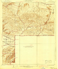
1950 Map of La Habra
USGS Topo · Published 1955About this map
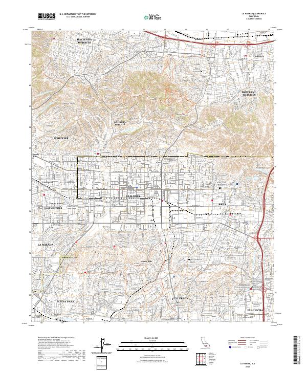
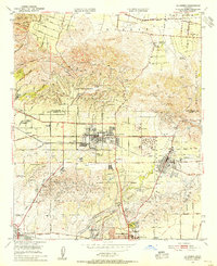
Puente Hills and the Coyote Hills dominate the terrain of this mid-century landscape, where the citrus and oil economies of northern Orange County meet the expanding suburban footprint of La Habra. The map reveals a transition from large agricultural holdings like Leffingwell Ranch and Murphy Ranch to organized residential grids. An extensive network of oil wells and reservoirs is clustered throughout the hills, particularly around Brea and La Habra Heights, highlighting the region's industrial foundations.
Find a feature on this map
37 named features on this map. Tap any name to fly to it.
Don’t see what you’re looking for? This feature index may not catch every label — zoom into the map to look around manually.
Map Details
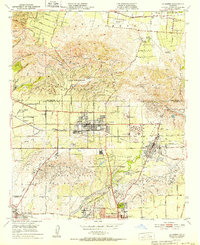
Editions of this 1950 La Habra Map
This is the sole edition of this map. No revisions or reprints were ever made.
Historical Maps of Fullerton Through Time
9 maps found