Old Maps of Lawndale, California
Explore 29 old maps of Lawndale, spanning from 1896 to today. These high-resolution historic maps reveal how streets, neighborhoods, landmarks, and natural features evolved over time — perfect for genealogy, metal detecting, research, and local history exploration.
What you can do with these maps:
- See how Lawndale changed over time: Compare historical maps to modern-day views to trace roads, homesites, rail lines & more.
- View detailed metadata: Each map includes creators, publishers, year, scale, and archive source.
- Overlay maps with satellite & LiDAR: Visualize the past alongside modern tools to explore terrain & human change.
- Trusted historical sources: Maps sourced from the USGS, Library of Congress, and other archives.
- Access maps your way: View online, download high-res files, or order prints for personal or research use.
Start exploring old maps of Lawndale to uncover forgotten places, hidden landmarks, and the deep history beneath your feet.
Lawndale, CA maps
(29)- 1896 Map of Redondo
 1896 Redondo1896 Print · USGSThe Los Angeles coastline and South Bay are captured here in the mid-1890s, when large ranchos still shaped the landscape between the sea and the city. Researchers can trace the early footprints of Inglewood, the military history of the Drum Barracks, and the vanished marshes of Nigger Slough.9 unique versions available
 - 1901 Map of Southern California Sheet No. 1
 1901 Southern California Sheet No. 11901 Print · USGSGreater Los Angeles at the dawn of the twentieth century is a landscape of growing citrus towns and a burgeoning rail network. Genealogists and historians can trace the early gridded streets of Hollywood and Pasadena or locate landmarks like Bear Lake and the Cahuilla Indian Reservation.6 unique versions available
 - 1904 Map of Southern California Sheet No. 1, 1905 Print
 1904 Southern California Sheet No. 11905 Print · USGSSouthern California at the dawn of the twentieth century shows a landscape of citrus groves and coastal towns connected by rail. Genealogists and historians can trace early settlements like San Juan Capistrano, find remote sites like the Rose Mine, and study the original water systems of the Santa Ana River.2 unique versions available
 - 1924 Map of Inglewood
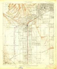 1924 Inglewood1924 Print · USGSCoastal Los Angeles County is seen in the mid-twenties as the oil and rail industries reshaped the land. Trace early schools and industrial roots like the Standard Oil Company, the Naval Radio Sta, and the Pacific Electric lines.
 - 1924 Map of Torrance
 1924 Torrance1924 Print · USGSThe South Bay of Los Angeles is captured here in the mid-1920s as coastal resort towns and industrial hubs like Torrance began to flourish. Researchers can trace the early rail-driven economy through the Pacific Electric Car Shops, Llewellyn Iron Works, and the seaside Pacific Electric Pier.2 unique versions available
 - 1930 Map of Inglewood
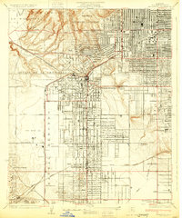 1930 Inglewood1930 Print · USGSThe South Bay and Inglewood areas are shown here during the early years of the aviation boom. You can trace the early airfields at Mines Aviation Field and Kelly's Airport or find local landmarks like the Wiseburn Sch.
 - 1934 Map of Torrance
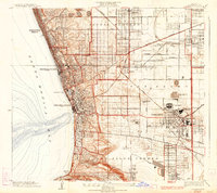 1934 Torrance1934 Print · USGSCoastal Los Angeles underwent a massive industrial and residential transformation during the interwar years. Researchers can trace early South Bay development through the sprawling Pacific Electric rail lines, the Union Oil Tank Farm, and neighborhood landmarks like Grant School.3 unique versions available
 - 1943 Map of San Pedro
 1943 San Pedro1943 Print · USGSThe South Bay and Los Angeles Harbor area appear here during the Second World War, showing a landscape of burgeoning industry and aviation. Trace wartime infrastructure and local landmarks like Hughes Airport, Terminal Island, and Inglewood Park Cem.
 - 1944 Map of Redondo
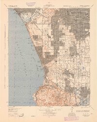 1944 Redondo1944 Print · USGSCoastal Los Angeles at the height of the Second World War shows a landscape defined by expanding refineries, rail lines, and beach towns. Genealogists and historians can trace the foundations of South Bay industry through the Standard Oil Co Refinery, Inglewood Park Cemetery, and the early Pacific Electric routes.
 - 1948 Map of Inglewood
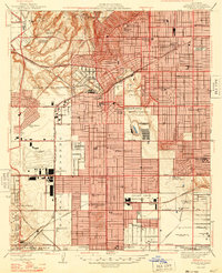 1948 Inglewood1948 Print · USGSPostwar Los Angeles undergoes a massive industrial and suburban shift in the late 1940s as aviation manufacturing centers expand. Trace early footprints of Los Angeles Airport and iconic sites like Hollywood Park or the Pacific Electric lines.
 - 1949 Map of Long Beach
 1949 Long Beach1949 Print · USGSSouthern California at the start of the post-war boom shows the rapid development of the Los Angeles basin and the South Bay. Genealogists and historians can trace the evolution of early suburbs like Gardena and Lynwood or the coastal defenses at Ft MacArthur Lower Reservation.2 unique versions available
 - 1950 Map of Inglewood, 1957 Print
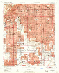 1950 Inglewood1957 Print · USGSMid-century Los Angeles County is captured here during a period of intense postwar suburban and industrial growth. Genealogists and local historians can trace the foundations of Inglewood and Hawthorne, locating landmarks like the Inglewood Park Cemetery and the Gardena Valley Airport.
 - 1951 Map of Torrance, 1953 Print
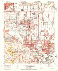 1951 Torrance1953 Print · USGSThe South Bay transitioned from an oil-rich landscape to a suburban powerhouse during the early fifties. Genealogists and historians can trace mid-century neighborhoods like Avalon Village and local institutions such as Los Angeles Harbor Junior College.2 unique versions available
 - 1952 Map of Inglewood
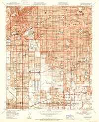 1952 Inglewood1952 Print · USGSMid-century Los Angeles County undergoes massive post-war expansion across the South Bay and Centinela Valley. Genealogists can locate family homes near Hollywood Park, Inglewood Park Cemetery, and the Gardena Valley Airport.
 - 1957 Map of Long Beach
 1957 Long Beach1957 Print · USGSThe Los Angeles coast and the Channel Islands appear here during the mid-fifties era of rapid suburbanization and naval expansion. Genealogists and researchers can locate early industrial neighborhoods like South Gate and trace military boundaries at Ft MacArthur Upper Reservation or the remote San Nicolas Island.4 unique versions available
 - 1958 Map of Long Beach
 1958 Long Beach1958 Print · USGSCoastal Southern California is shown during a mid-century period of intense suburbanization and military readiness. Genealogists and historians can trace the growth of Long Beach, identify early neighborhoods in Lakewood Village, or locate the bounds of Ft MacArthur Lower Reservation.
 - 1960 Map of Long Beach
 1960 Long Beach1960 Print · USGSCoastal California at the height of post-war expansion reveals a dense network of suburban growth and maritime industry. Trace the development of the South Bay and inland neighborhoods like Lakewood Village, or explore the topography of Santa Catalina Island and Los Angeles Harbor.2 unique versions available
 - 1964 Map of Inglewood, 1965 Print
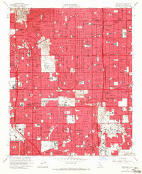 1964 Inglewood1965 Print · USGSSouthwestern Los Angeles County undergoes a mid-century suburban boom in this detailed record of the South Bay and Inglewood area. Genealogists and historians can trace neighborhood growth near Inglewood Park Cemetery, Lennox High Sch, and the local Oil Field operations.4 unique versions available
 - 1964 Map of Torrance, 1966 Print
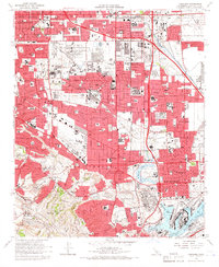 1964 Torrance1966 Print · USGSMid-century Los Angeles County is captured here during a period of massive industrial and suburban growth. Genealogists and historians can locate dozens of neighborhood landmarks, from the Banning Drum Barracks to local schools like Bishop Montgomery High Sch and Casimir Sch.3 unique versions available
 - 1981 Map of Long Beach
 1981 Long Beach1981 Print · USGSCoastal Los Angeles and the South Bay reached a peak of industrial and suburban maturity in the early eighties. Researchers can trace the development of aerospace and maritime hubs through landmarks like the Queen Mary, Fort MacArthur, and Signal Hill.3 unique versions available
 - 2012 Map of Torrance, 2012 Print
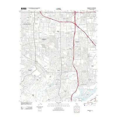 2012 Torrance2012 Print · USGSThe South Bay region of Los Angeles comes into focus during its modern industrial and suburban era, from the Torrance refineries to the Carson plains. Researchers can trace aviation history at Zamperini Field Airport or locate family sites near Roosevelt Memorial Park and the historic Wilmington Cem.
 - 2012 Map of Inglewood, 2012 Print
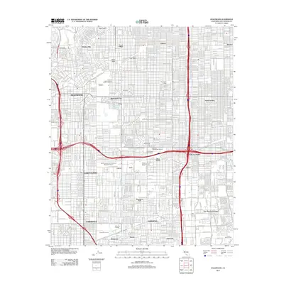 2012 Inglewood2012 Print · USGSThe South Bay and Los Angeles suburbs are shown here during a period of dense urban maturity. Local historians can trace established neighborhoods from Windsor Hills to West Athens, or locate landmarks like Inglewood Park Cem and Jack Northrop Field/Hawthorne Municipal Airport.
 - 2015 Map of Torrance, 2015 Print
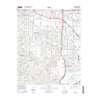 2015 Torrance2015 Print · USGSThe South Bay and Los Angeles harbor districts are shown here during a period of intense urban maturity. Researchers can trace local landmarks like Zamperini Field, family plots in Wilmington Cemetery, and the sprawling campus of California State University-Dominguez Hills.
 - 2015 Map of Inglewood, 2015 Print
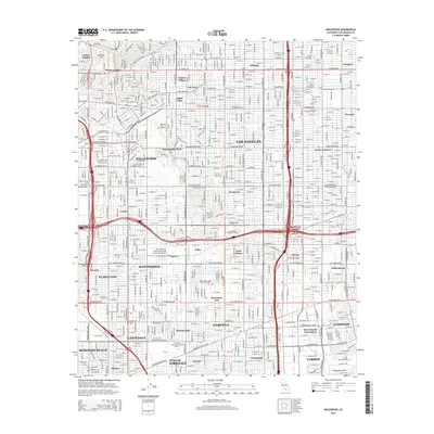 2015 Inglewood2015 Print · USGSThe South Los Angeles basin is shown here in high detail during its twenty-first-century expansion. Researchers can trace neighborhood boundaries from Ladera Heights to Avalon Gardens and locate landmarks like the Inglewood Park Cemetery.
 - 2018 Map of Inglewood, 2018 Print
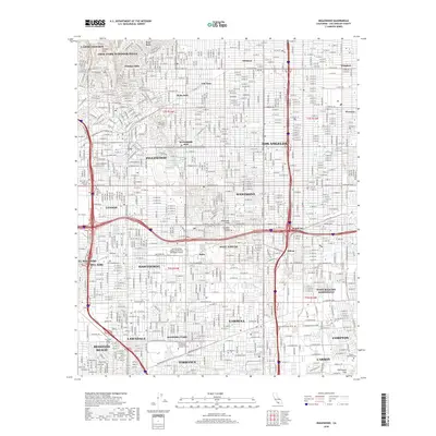 2018 Inglewood2018 Print · USGSThe South Bay and Inglewood areas are shown in high detail during the late 2010s as the urban grid of Los Angeles County reaches full maturity. Researchers can trace local landmarks like Inglewood Park Cem and the busy Jack Northrop Field/Hawthorne Municipal Airport.
Showing maps 1-25 of 29
Top cities near Lawndale
- Los Angeles historical maps
- Long Beach historical maps
- Torrance historical maps
- Inglewood historical maps
- Downey historical maps
- Compton historical maps
See more
Top neighborhoods of Lawndale
Frequently asked questions
- What are the different types of historical maps available for Lawndale?
- What is the oldest map of Lawndale?
- Where can I purchase historical maps of Lawndale for my home or office?
- Where can I download high-res historical maps of Lawndale?
- Are there historical topographic maps available for Lawndale?
- Is there historical aerial imagery available for Lawndale?
- Where are historical maps of Lawndale sourced from?