2010s Maps of Northridge East Neighborhood Council District, Los Angeles
Explore 12 historic maps of Northridge East Neighborhood Council District from the 2010s. These maps offer a rare glimpse into what life looked like during the 2010s — showing old roads, neighborhoods, homes, and landmarks that have changed or disappeared over time.
Whether you're researching your family's past, planning a metal detecting trip, or studying how Northridge East Neighborhood Council District's landscape evolved across the 2010s, these high-resolution maps are a powerful tool for exploring the history of this region.
- Focus on a specific era: All maps on this page are from the 2010s, giving you a focused view of this time period.
- See what’s changed: Compare century-old streets, trails, and buildings to today's modern landscape using overlays and satellite layers.
- Research with precision: Use these maps for genealogy, historical research, land use analysis, or educational projects.
- View, download, or print: Maps are fully viewable online in high resolution, and can be downloaded or printed for your own records.
Start exploring Northridge East Neighborhood Council District's history through authentic maps from the 2010s. This is your window into the past.
Northridge East Neighborhood Council District, Los Angeles maps
(12)- 2012 Map of San Fernando, 2012 Print
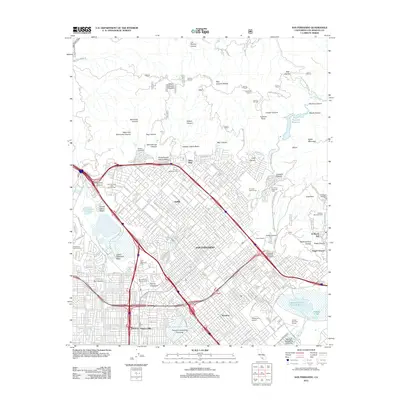 2012 San Fernando2012 Print · USGSThe San Fernando Valley is shown in its modern suburban and industrial complexity during the early 2010s. Researchers can locate long-standing landmarks like the San Fernando Mission Cemetery, Whiteman Airport, and the historic site of Achois Comihavit.
 - 2012 Map of Oat Mountain, 2012 Print
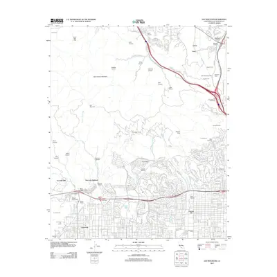 2012 Oat Mountain2012 Print · USGSThe northern edge of the San Fernando Valley meets the Santa Susana Mountains during a period of modern expansion. Researchers can trace the boundaries of historic ranch lands like Iverson Ranch and local landmarks such as Stony Point and Twin Lakes.
 - 2012 Map of Van Nuys, 2012 Print
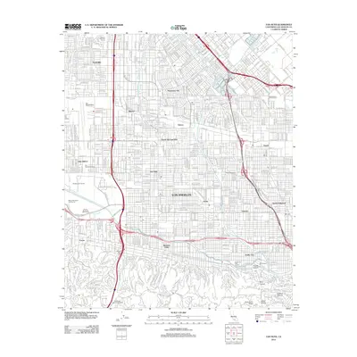 2012 Van Nuys2012 Print · USGSThe San Fernando Valley is shown in its modern suburban complexity in the early 2010s, from the aviation hub at Van Nuys Airport to the hills of Studio City. Trace the local geography of media and education at CBS Studios and American Jewish University.
 - 2012 Map of Canoga Park, 2012 Print
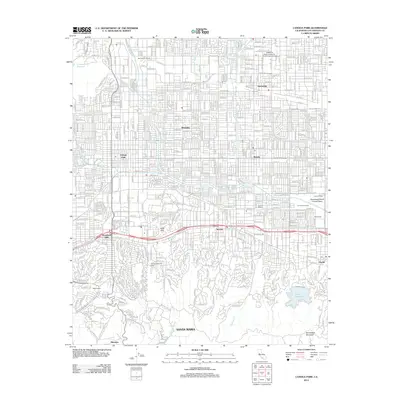 2012 Canoga Park2012 Print · USGSThe San Fernando Valley is shown here in the early twenty-first century, revealing the dense suburban evolution from Northridge to Encino. Local historians can trace the transition from ranch lands like Miller Ranch to institutional landmarks such as the California State University Northridge Campus.
 - 2015 Map of Oat Mountain, 2015 Print
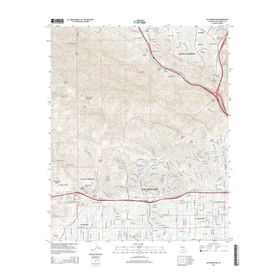 2015 Oat Mountain2015 Print · USGSThe Santa Susana Mountains meet the San Fernando Valley in this 2015 survey, capturing the interface of suburban Los Angeles and rugged canyon country. Trace historical transit routes through Fremont Pass and locate local landmarks like Stony Point, Oakwood Cemetery, and the Newhall Tunnel.
 - 2015 Map of San Fernando, 2015 Print
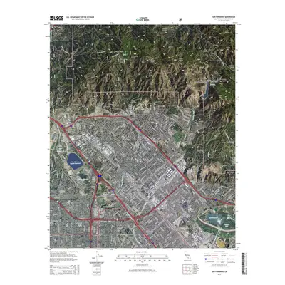 2015 San Fernando2015 Print · USGSThe northern San Fernando Valley is shown here in the mid-2010s, where the suburban grid meets the steep slopes of the Angeles National Forest. Genealogists and local historians can trace legacy sites like the San Fernando Mission Cemetery or locate regional infrastructure like Whiteman Airport and the Los Angeles Aqueduct.
 - 2015 Map of Canoga Park, 2015 Print
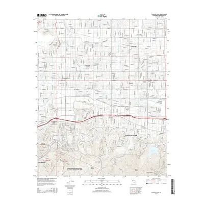 2015 Canoga Park2015 Print · USGSThe San Fernando Valley is shown here in the mid-2010s, capturing the dense residential and academic fabric of Los Angeles. Researchers can trace the path of the Los Angeles River and locate landmarks like California State University-Northridge and Los Angeles Pierce College.
 - 2015 Map of Van Nuys, 2015 Print
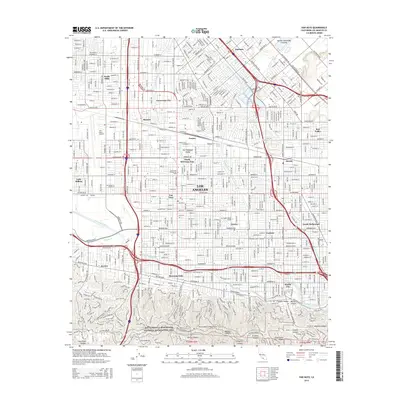 2015 Van Nuys2015 Print · USGSThe San Fernando Valley in the mid-2010s reveals a sophisticated network of transit and aerospace infrastructure. Trace the Orange Line Busway past Van Nuys Airport, or explore the canyon trails of the Santa Monica Mountains National Recreation Area.
 - 2018 Map of Canoga Park, 2018 Print
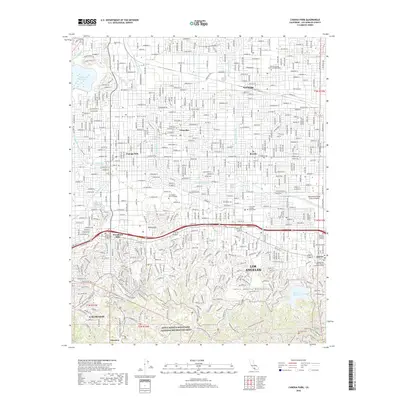 2018 Canoga Park2018 Print · USGSThe San Fernando Valley meets the Santa Monica Mountains in this detailed study of late twenty-first-century Los Angeles. Researchers can trace urban development around CSU Northridge or explore the preserved canyons of the Santa Monica Mountains.
 - 2018 Map of San Fernando, 2018 Print
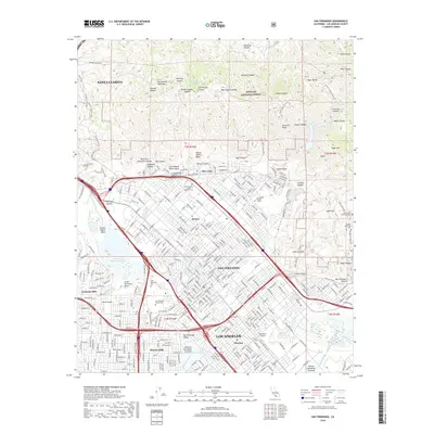 2018 San Fernando2018 Print · USGSThe San Fernando Valley meets the mountains in this 2010s-era study of the northern Los Angeles suburbs. Genealogists and local historians can trace legacy sites like the San Fernando Pioneer Memorial Cem and Olive View while exploring the vast Pacoima Spreading Grounds.
 - 2018 Map of Oat Mountain, 2018 Print
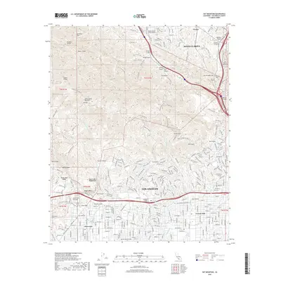 2018 Oat Mountain2018 Print · USGSLos Angeles and Santa Clarita meet at the ridge of the Santa Susana Mountains in this modern topographic study. Researchers can trace the rail paths through the Pacific Tunnel or locate local landmarks like Oakwood Cem and Garden of the Gods.
 - 2018 Map of Van Nuys, 2018 Print
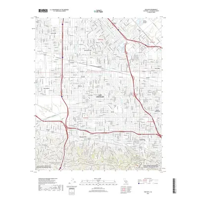 2018 Van Nuys2018 Print · USGSThe heart of the San Fernando Valley is captured here during the late 2010s, showing a landscape defined by massive freeway interchanges and dense suburban growth. Researchers can trace local landmarks like Van Nuys Airport, the Southern Pacific RR line, and neighborhoods from Lake Balboa to Studio City.
End of results
Showing maps 1-12 of 12
Frequently asked questions
- What are the different types of historical maps available for Northridge East Neighborhood Council District?
- What is the oldest map of Northridge East Neighborhood Council District?
- Where can I purchase historical maps of Northridge East Neighborhood Council District for my home or office?
- Where can I download high-res historical maps of Northridge East Neighborhood Council District?
- Are there historical topographic maps available for Northridge East Neighborhood Council District?
- Is there historical aerial imagery available for Northridge East Neighborhood Council District?
- Where are historical maps of Northridge East Neighborhood Council District sourced from?