Old Maps of West Rancho Dominguez, California for Metal Detecting
Plan your next treasure hunt with 22 historic maps of West Rancho Dominguez. Find old homesites, ghost towns, trails, and gathering spots that may be lost to time — perfect for identifying promising metal detecting locations.
- Locate forgotten sites: Uncover places like long-lost settlements, abandoned rail lines, or gathering spots.
- Plan better hunts: Use map overlays combined with LiDAR or satellite views to narrow in on historically rich areas.
- Made for detectorists: Thousands of hobbyists use these maps to discover relics, coins, and hidden history.
Use these historic maps to boost your research and find new opportunities beneath the surface of West Rancho Dominguez.
West Rancho Dominguez, CA maps
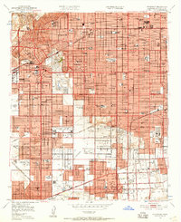
(22)- 1896 Map of Redondo
 1896 Redondo1896 Print · USGSThe Los Angeles coastline and South Bay are captured here in the mid-1890s, when large ranchos still shaped the landscape between the sea and the city. Researchers can trace the early footprints of Inglewood, the military history of the Drum Barracks, and the vanished marshes of Nigger Slough.9 unique versions available
 - 1901 Map of Southern California Sheet No. 1
 1901 Southern California Sheet No. 11901 Print · USGSGreater Los Angeles at the dawn of the twentieth century is a landscape of growing citrus towns and a burgeoning rail network. Genealogists and historians can trace the early gridded streets of Hollywood and Pasadena or locate landmarks like Bear Lake and the Cahuilla Indian Reservation.6 unique versions available
 - 1904 Map of Southern California Sheet No. 1, 1905 Print
 1904 Southern California Sheet No. 11905 Print · USGSSouthern California at the dawn of the twentieth century shows a landscape of citrus groves and coastal towns connected by rail. Genealogists and historians can trace early settlements like San Juan Capistrano, find remote sites like the Rose Mine, and study the original water systems of the Santa Ana River.2 unique versions available
 - 1923 Map of Watts
 1923 Watts1923 Print · USGSSouth-central Los Angeles is seen here during its mid-twenties transition into a major metropolitan corridor. Researchers can trace early street grids and rail lines through the City of Watts, Lynwood, and schools like Willowbrook School.
 - 1924 Map of Compton
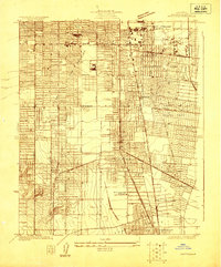
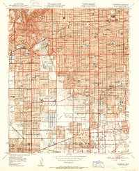
 1924 Compton1924 Print · USGSThe Los Angeles basin near Compton and Gardena was a landscape of citrus groves and oil derricks in the mid-twenties. Genealogists and researchers can trace local landmarks like the Woodlawn Cemetery, the Dominguez Ranch, and schools including Carson School.
 - 1924 Map of Watts
 1924 Watts1924 Print · USGSSouth Los Angeles and its neighboring industrial suburbs come to life in the mid-1920s as a burgeoning network of rail lines and residential grids. Researchers can trace early school sites like Willowbrook School and large-scale industrial landmarks including the Goodyear Rubber Co.2 unique versions available
 - 1930 Map of Compton
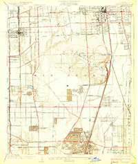 1930 Compton1930 Print · USGSThe South Bay and Gateway regions emerge as industrial powerhouses in this 1930s survey of the plains between Los Angeles and the coast. Trace the footprint of early oil operations at the Shell Oil Dominguez Refinery or locate community roots at the Gardena Japanese School and Woodlawn Cemetery.2 unique versions available
 - 1937 Map of Watts
 1937 Watts1937 Print · USGSLos Angeles and its southern neighbors show a landscape of rapid industrial and rail expansion in the mid-1930s. Researchers can trace the early residential street grids and commercial hubs surrounding the General Petroleum Tank Farm, Watts, and the Pacific Electric lines.2 unique versions available
 - 1943 Map of San Pedro
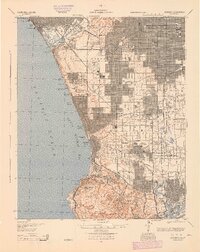
 1943 San Pedro1943 Print · USGSThe South Bay and Los Angeles Harbor area appear here during the Second World War, showing a landscape of burgeoning industry and aviation. Trace wartime infrastructure and local landmarks like Hughes Airport, Terminal Island, and Inglewood Park Cem.
 - 1944 Map of Redondo
 1944 Redondo1944 Print · USGSCoastal Los Angeles at the height of the Second World War shows a landscape defined by expanding refineries, rail lines, and beach towns. Genealogists and historians can trace the foundations of South Bay industry through the Standard Oil Co Refinery, Inglewood Park Cemetery, and the early Pacific Electric routes.
 - 1949 Map of Long Beach
 1949 Long Beach1949 Print · USGSSouthern California at the start of the post-war boom shows the rapid development of the Los Angeles basin and the South Bay. Genealogists and historians can trace the evolution of early suburbs like Gardena and Lynwood or the coastal defenses at Ft MacArthur Lower Reservation.2 unique versions available
 - 1950 Map of Inglewood, 1957 Print
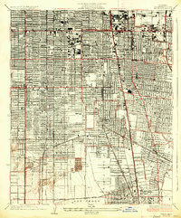
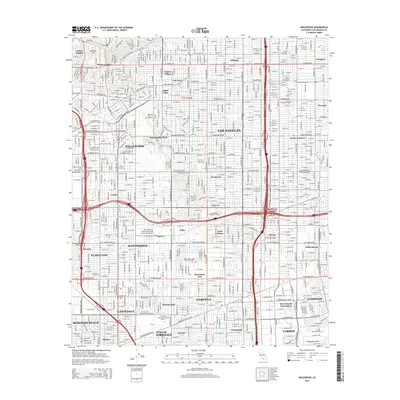
 1950 Inglewood1957 Print · USGSMid-century Los Angeles County is captured here during a period of intense postwar suburban and industrial growth. Genealogists and local historians can trace the foundations of Inglewood and Hawthorne, locating landmarks like the Inglewood Park Cemetery and the Gardena Valley Airport.
 - 1952 Map of Inglewood
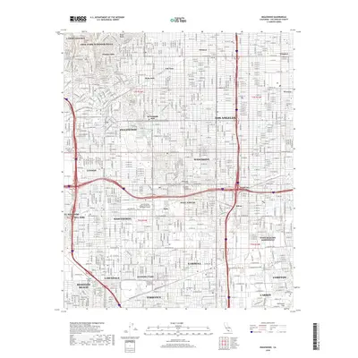
 1952 Inglewood1952 Print · USGSMid-century Los Angeles County undergoes massive post-war expansion across the South Bay and Centinela Valley. Genealogists can locate family homes near Hollywood Park, Inglewood Park Cemetery, and the Gardena Valley Airport.
 - 1957 Map of Long Beach
 1957 Long Beach1957 Print · USGSThe Los Angeles coast and the Channel Islands appear here during the mid-fifties era of rapid suburbanization and naval expansion. Genealogists and researchers can locate early industrial neighborhoods like South Gate and trace military boundaries at Ft MacArthur Upper Reservation or the remote San Nicolas Island.4 unique versions available
 - 1958 Map of Long Beach
 1958 Long Beach1958 Print · USGSCoastal Southern California is shown during a mid-century period of intense suburbanization and military readiness. Genealogists and historians can trace the growth of Long Beach, identify early neighborhoods in Lakewood Village, or locate the bounds of Ft MacArthur Lower Reservation.
 - 1960 Map of Long Beach
 1960 Long Beach1960 Print · USGSCoastal California at the height of post-war expansion reveals a dense network of suburban growth and maritime industry. Trace the development of the South Bay and inland neighborhoods like Lakewood Village, or explore the topography of Santa Catalina Island and Los Angeles Harbor.2 unique versions available
 - 1964 Map of Inglewood, 1965 Print
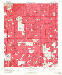 1964 Inglewood1965 Print · USGSSouthwestern Los Angeles County undergoes a mid-century suburban boom in this detailed record of the South Bay and Inglewood area. Genealogists and historians can trace neighborhood growth near Inglewood Park Cemetery, Lennox High Sch, and the local Oil Field operations.4 unique versions available
 - 1981 Map of Long Beach
 1981 Long Beach1981 Print · USGSCoastal Los Angeles and the South Bay reached a peak of industrial and suburban maturity in the early eighties. Researchers can trace the development of aerospace and maritime hubs through landmarks like the Queen Mary, Fort MacArthur, and Signal Hill.3 unique versions available
 - 2012 Map of Inglewood, 2012 Print
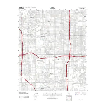 2012 Inglewood2012 Print · USGSCovers West Rancho Dominguez, including Los Angeles, Torrance, and other nearby areas
 - 2015 Map of Inglewood, 2015 Print
 2015 Inglewood2015 Print · USGSCovers West Rancho Dominguez, including Los Angeles, Torrance, and other nearby areas
 - 2018 Map of Inglewood, 2018 Print
 2018 Inglewood2018 Print · USGSCovers West Rancho Dominguez, including Los Angeles, Torrance, and other nearby areas
 - 2021 Map of Inglewood, 2021 Print
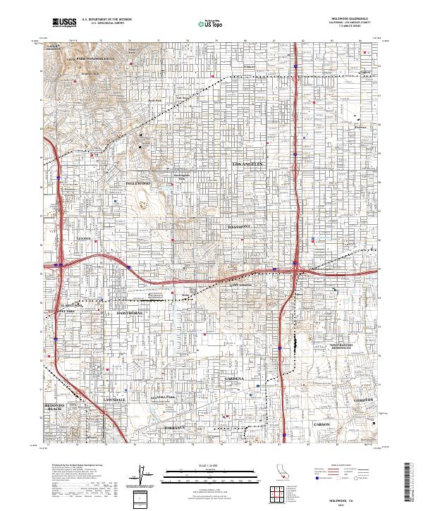 2021 Inglewood2021 Print · USGSThe urban sprawl of southwestern Los Angeles County is captured here in the early twenty-first century. Genealogists and researchers can locate specific sites within Inglewood Park Cem or trace the layout of Hyde Park and Hawthorne.
End of results
Showing maps 1-22 of 22
Top cities near West Rancho Dominguez
- Los Angeles historical maps
- Long Beach historical maps
- Glendale historical maps
- Huntington Beach historical maps
- Torrance historical maps
- Pasadena historical maps
See more
Frequently asked questions
- What are the different types of historical maps available for West Rancho Dominguez?
- What is the oldest map of West Rancho Dominguez?
- Where can I purchase historical maps of West Rancho Dominguez for my home or office?
- Where can I download high-res historical maps of West Rancho Dominguez?
- Are there historical topographic maps available for West Rancho Dominguez?
- Is there historical aerial imagery available for West Rancho Dominguez?
- Where are historical maps of West Rancho Dominguez sourced from?