Old Maps of Country Club, California
Explore 33 old maps of Country Club, spanning from 1895 to today. These high-resolution historic maps reveal how streets, neighborhoods, landmarks, and natural features evolved over time — perfect for genealogy, metal detecting, research, and local history exploration.
What you can do with these maps:
- See how Country Club changed over time: Compare historical maps to modern-day views to trace roads, homesites, rail lines & more.
- View detailed metadata: Each map includes creators, publishers, year, scale, and archive source.
- Overlay maps with satellite & LiDAR: Visualize the past alongside modern tools to explore terrain & human change.
- Trusted historical sources: Maps sourced from the USGS, Library of Congress, and other archives.
- Access maps your way: View online, download high-res files, or order prints for personal or research use.
Start exploring old maps of Country Club to uncover forgotten places, hidden landmarks, and the deep history beneath your feet.
Country Club, CA maps
(33)- 1895 Map of San Francisco
 1895 San Francisco1895 Print · USGSThe San Francisco Bay Area thrives as a maritime and rail power at the close of the nineteenth century. Genealogists and researchers can trace early neighborhoods in Berkeley, the layout of the Presidio Military Reservation, and rail terminals like the Oakland Mole.
 - 1897 Map of Tamalpais
 1897 Tamalpais1897 Print · USGSMarin County's ridges and coastal lagoons are shown in the late nineteenth century as rail lines began to stitch together its small towns and land grants. Genealogists and historians can trace the early footprints of Eastland, Larkspur, and Woodville alongside the winding routes of the North Pacific Coast R. R.12 unique versions available
 - 1899 Map of San Francisco
 1899 San Francisco1899 Print · USGSThe Bay Area at the close of the nineteenth century reveals a burgeoning metropolis still tied to its maritime and rail roots. Trace the early layouts of the University of California and the Presidio, or locate the now-vanished Lone Mt. Cem. and Shell Mound.7 unique versions available
 - 1915 Map of San Francisco
 1915 San Francisco1915 Print · USGSSan Francisco and the East Bay appear at a pivotal moment just before the First World War, featuring the grand layout of the Panama-Pacific International Exposition. Genealogists and historians can trace the early rail networks of the Key Route Pier, the industrial waterfront at Winehaven, and historic landmarks like Cliff House.6 unique versions available
 - 1941 Map of Tamalpais
 1941 Tamalpais1941 Print · USGSMarin County's coastal defenses and rail-connected towns are captured here just as the nation entered World War II. Researchers can trace the early fortifications at Fort Cronkhite, the path of the Northwestern Pacific RR, and old landmarks like Bolinas School.
 - 1947 Map of San Francisco, 1948 Print
 1947 San Francisco1948 Print · USGSThe Bay Area in the late 1940s reveals a region transitioning from wartime intensity to post-war suburban growth. Trace the historic rail lines of the Southern Pacific RR or locate early military footprints at Fort Funston and Moffett Field.
 - 1947 Map of San Quentin, 1956 Print
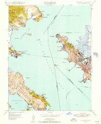 1947 San Quentin1956 Print · USGSThe San Francisco Bay area in the late 1940s reveals a landscape of ferry-connected shores and burgeoning industry. Trace the historic Richmond-San Rafael Ferry route, the State Penitentiary, and the Tiburon Naval Net Depot.
 - 1948 Map of San Quentin
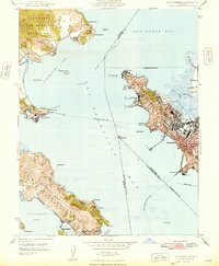 1948 San Quentin1948 Print · USGSThe North Bay waterfront comes alive in the late 1940s, showing the active ferry routes and military installations of the era. Genealogists and historians can trace the Richmond-San Rafael Ferry, the State Penitentiary, and the Tiburon Naval Net Depot.2 unique versions available
 - 1948 Map of San Francisco, 1951 Print
 1948 San Francisco1951 Print · USGSThe Bay Area in the late 1940s reveals a landscape defined by rapid post-war growth and a heavy military presence at the Golden Gate. Trace the development of early trans-bay infrastructure like the Oakland-Bay Bridge and historic coastal defense sites such as Fort Funston and Alcatraz Island.
 - 1950 Map of Mt. Tamalpais, 1954 Print
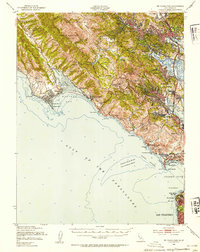 1950 Mt. Tamalpais1954 Print · USGSMarin County's dramatic coastline and the approach to the Golden Gate are shown here in the mid-fifties. Genealogists and historians can trace the early boundaries of Mill Valley, the coastal outposts of Bolinas and Stinson Beach, and several coastal military sites.4 unique versions available
 - 1954 Map of San Rafael, 1955 Print
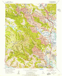 1954 San Rafael1955 Print · USGSMid-century Marin County is captured here in detail, from the slopes of the redwood canyons to the bayside marshes. Genealogists and historians can trace the footprint of early schools like Alto School and Short School, or locate family sites near Mt Tamalpais Cemetery and Baltimore Park.7 unique versions available
 - 1955 Map of San Francisco
 1955 San Francisco1955 Print · USGSThe San Francisco Bay Area and central coast are captured during the postwar boom as suburbs and infrastructure expanded rapidly. Trace the development of local communities and military installations like the Presidio and Fort Mason, or follow the Southern Pacific rail lines.
 - 1956 Map of San Francisco
 1956 San Francisco1956 Print · USGSThe San Francisco Bay Area is captured in the mid-fifties, showing a landscape of rapid post-war growth and massive military installations. Researchers can trace the sprawling rail lines of the Southern Pacific and locate historic sites like Stanford University or the Hunters Point Naval Shipyard.4 unique versions available
 - 1957 Map of San Francisco
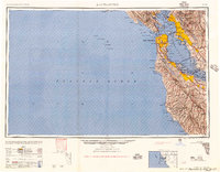 1957 San Francisco1957 Print · USGSThe Bay Area in the mid-fifties reveals a rapidly growing metropolitan landscape connected by its iconic spans and rail networks. Researchers can trace the layout of military sites like the Presidio and the extent of the Southern Pacific and Western Pacific railroads.
 - 1959 Map of San Quentin, 1960 Print
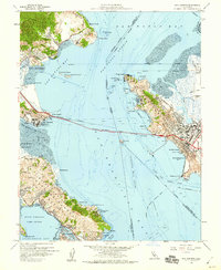 1959 San Quentin1960 Print · USGSThe northern reaches of the San Francisco Bay area are seen here during the late fifties, as the new toll bridge reshaped regional travel. Trace the footprint of the San Quentin State Prison, the Tiburon Naval Net Depot, and the Atchison Topeka & Santa Fe rail lines.5 unique versions available
 - 1960 Map of San Francisco
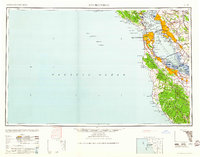 1960 San Francisco1960 Print · USGSThe San Francisco Bay Area at the start of the sixties reveals a landscape of rapid expansion and critical infrastructure. Researchers can trace the development of East Bay communities like Russell City and Mt Eden or locate early rural landmarks like Alpine School.
 - 1961 Map of San Francisco
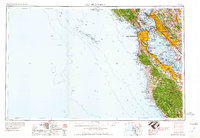 1961 San Francisco1961 Print · USGSThe Bay Area at the dawn of the 1960s reveals a landscape of growing cities and massive Cold War military installations. Genealogists and historians can trace the mid-century urban footprint from Berkeley to San Mateo, while locating landmarks like the Presidio, Alcatraz Island, and Moffett Field Air Station.
 - 1964 Map of San Francisco
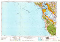 1964 San Francisco1964 Print · USGSThe Bay Area in the mid-sixties shows a region of rapid suburban expansion and major military installations. Researchers can trace the development of the South Bay near Stanford University or locate family plots in the historic Cypress Lawn Cem and Holy Cross Cem.
 - 1971 Map of San Francisco
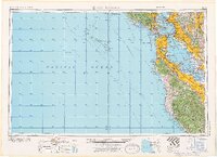 1971 San Francisco1971 Print · USGSThe San Francisco Bay Area at the start of the 1970s is shown here as a dense network of aerospace hubs, naval bases, and expanding suburbs. Researchers can trace the mid-century footprint of Stanford University, the industrial Salt Evaporators, and the Southern Pacific rail lines.
 - 1978 Map of San Francisco, 1979 Print
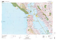 1978 San Francisco1979 Print · USGSThe San Francisco Bay Area in the late seventies reveals a landscape where massive naval installations and federal parklands meet a rapidly maturing urban core. Genealogists and historians can locate family landmarks near the National Cemetery, trace the Southern Pacific rail lines, or study the layout of the Alameda Naval Air Station.2 unique versions available
 - 1985 Map of San Francisco, 1989 Print
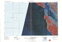 1985 San Francisco1989 Print · USGSThe Bay Area is captured in the mid-1980s through experimental Landsat satellite imagery, offering a unique technological perspective of the California coast. Trace the urban boundaries of San Francisco and Alameda against the San Francisco Bay and Lorenzo.
 - 1993 Map of San Quentin, 1997 Print
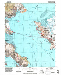 1993 San Quentin1997 Print · USGSThe northern San Francisco Bay shoreline in the early nineties reveals a blend of heavy industry and coastal conservation. Researchers can trace the footprints of San Quentin State Prison, the Naval Fuel Supply Depot, and maritime landmarks like the Lighthouse at Point San Pablo.
 - 1993 Map of San Rafael, 1997 Print
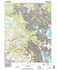 1993 San Rafael1997 Print · USGSMarin County's valleys and ridges are captured in the early nineties as residential growth meets protected redwood groves and marshes. Trace the suburban evolution of Mill Valley and San Rafael alongside preserved sites like Muir Woods National Monument.
 - 1995 Map of San Rafael, 1999 Print
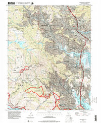 1995 San Rafael1999 Print · USGSMarin County at the end of the century shows a unique balance of dense suburban development and sprawling protected peaks. Genealogists and researchers can trace local landmarks like Mt Tamalpais Cemetery, the College of Marin, and Silva Island.
 - 1995 Map of San Quentin, 1999 Print
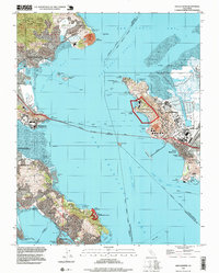 1995 San Quentin1999 Print · USGSThe San Francisco Bay area in the mid-nineties shows a mix of industrial giants and protected shorelines. Trace the piers of the Long Wharf, the grounds of San Quentin State Prison, and the hills of China Camp State Park.
Showing maps 1-25 of 33
Top cities near Country Club
- San Francisco historical maps
- Oakland historical maps
- Vallejo historical maps
- Berkeley historical maps
- Richmond historical maps
- Alameda historical maps
See more
Frequently asked questions
- What are the different types of historical maps available for Country Club?
- What is the oldest map of Country Club?
- Where can I purchase historical maps of Country Club for my home or office?
- Where can I download high-res historical maps of Country Club?
- Are there historical topographic maps available for Country Club?
- Is there historical aerial imagery available for Country Club?
- Where are historical maps of Country Club sourced from?