Old Maps of Caspar, California for Metal Detecting
Plan your next treasure hunt with 11 historic maps of Caspar. Find old homesites, ghost towns, trails, and gathering spots that may be lost to time — perfect for identifying promising metal detecting locations.
- Locate forgotten sites: Uncover places like long-lost settlements, abandoned rail lines, or gathering spots.
- Plan better hunts: Use map overlays combined with LiDAR or satellite views to narrow in on historically rich areas.
- Made for detectorists: Thousands of hobbyists use these maps to discover relics, coins, and hidden history.
Use these historic maps to boost your research and find new opportunities beneath the surface of Caspar.
Caspar, CA maps
(11)- 1920 Map of Fort Bragg, 1928 Print
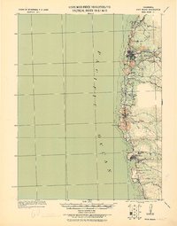 1920 Fort Bragg1928 Print · USGSThe Mendocino coast in the early twentieth century reveals a rugged network of timber ports and pioneer rail lines. Genealogists and historians can trace the early footprints of Fort Bragg, the Cal Western R R & Nav Co railroad, and the historic lighthouse area at Pt. Cabrillo.
 - 1943 Map of Fort Bragg
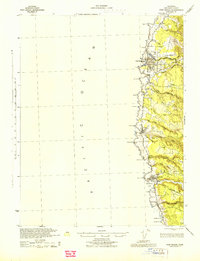 1943 Fort Bragg1943 Print · USGSMendocino County's coastal timber and fishing hubs are captured here during the early 1940s. Researchers can trace the Caspar South Fork Railroad and explore early layouts of Fort Bragg, Mendocino, and the Heeser Addition.2 unique versions available
 - 1957 Map of Ukiah, 1966 Print
 1957 Ukiah1966 Print · USGSNorthern California's diverse terrain comes into focus in the mid-1950s, from the rugged timberlands of the Jackson State Forest to the productive Sacramento Valley. Genealogists and historians can trace the rail lines of the Northwestern Pacific or locate early valley settlements like Arbuckle and Paskenta.3 unique versions available
 - 1960 Map of Ukiah
 1960 Ukiah1960 Print · USGSNorthern California during the late fifties reveals a landscape of deep timber forests and valley agriculture before modern expansion. Trace the historic rail lines of the California Western RR and the Northwestern Pacific RR through settlements like Fort Bragg and Ukiah.2 unique versions available
 - 1960 Map of Mendocino, 1962 Print
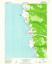 1960 Mendocino1962 Print · USGSCoastal Mendocino County is seen here in the early sixties, a time when seaside towns and timberlands met at the Pacific shore. Researchers can trace local lineage at Hillcrest Cem or find maritime landmarks like the Point Cabrillo Light Station.3 unique versions available
 - 1960 Map of Fort Bragg, 1963 Print
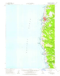 1960 Fort Bragg1963 Print · USGSThe Mendocino coast in the early sixties remains a hub for timber and coastal trade before its full modern tourism expansion. Trace the California Western railroad line or locate historical maritime landmarks like the Point Cabrillo Light Station and Caspar Anchorage.2 unique versions available
 - 1981 Map of Ukiah
 1981 Ukiah1981 Print · USGSMendocino County’s timber and rail landscape is captured here in the early eighties, from the coastal lumber mills to the inland valleys. Trace the California Western Railroad and find settlements like Fort Bragg, Comptche, and Navarro.3 unique versions available
 - 2012 Map of Mendocino, 2012 Print
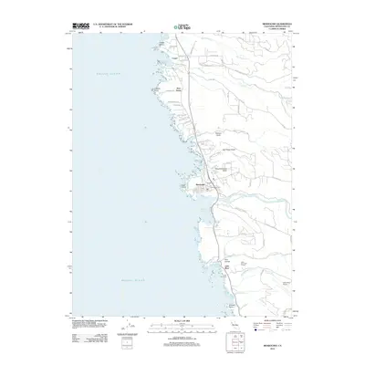 2012 Mendocino2012 Print · USGSCovers Caspar, including Mendocino, Little River, and other nearby areas
 - 2015 Map of Mendocino, 2015 Print
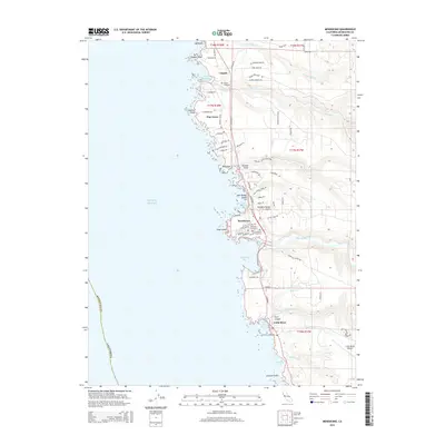 2015 Mendocino2015 Print · USGSCovers Caspar, including Mendocino, Little River, and other nearby areas
 - 2018 Map of Mendocino, 2018 Print
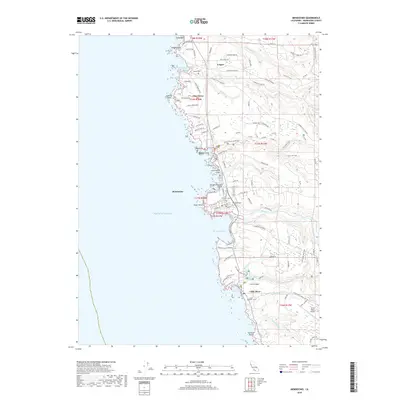 2018 Mendocino2018 Print · USGSCovers Caspar, including Mendocino, Little River, and other nearby areas
 - 2021 Map of Mendocino, 2021 Print
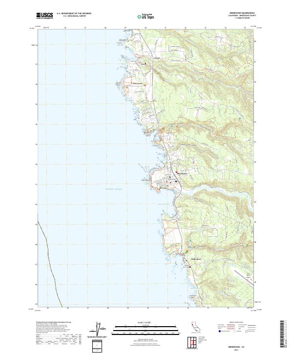 2021 Mendocino2021 Print · USGSThe rugged Mendocino coastline is documented here in the early twenty-first century, showcasing the area's transition from early industry to modern preservation. Researchers can locate family sites and landmarks like Evergreen Cem, the Lighthouse at Cabrillo Point, and the trails of Van Damme State Park.
End of results
Showing maps 1-11 of 11
Top cities near Caspar
Frequently asked questions
- What are the different types of historical maps available for Caspar?
- What is the oldest map of Caspar?
- Where can I purchase historical maps of Caspar for my home or office?
- Where can I download high-res historical maps of Caspar?
- Are there historical topographic maps available for Caspar?
- Is there historical aerial imagery available for Caspar?
- Where are historical maps of Caspar sourced from?