Old Maps of Fair Oaks, California for Hiking & Exploration
Hike through history with 12 historic maps of Fair Oaks. Explore old trails, ghost towns, and forgotten backroads — perfect for outdoor adventurers and local explorers.
- Rediscover forgotten places: Map out old mining camps, roads, and footpaths that no longer exist on modern maps.
- Layer with modern tools: Combine with LiDAR or satellite views to plan hikes through historical terrain.
- Made for exploration: Popular among hikers, overlanders, and local history lovers.
Use these maps to find adventure and explore the hidden past of Fair Oaks.
Fair Oaks, CA maps
(12)- 1922 Map of Willits
 1922 Willits1922 Print · USGSMendocino County's timber and rail corridor comes to life in the early twenties, centered on the growing hub of Willits. Researchers can trace the winding routes of the California Western Railroad and locate vanished stops like Shake City and Buckhorn.
 - 1942 Map of Willits, 1956 Print
 1942 Willits1956 Print · USGSWillits and the surrounding Mendocino County ranchlands are captured here during the early 1940s as the railroad fueled local growth. Genealogists and historians can trace family landholdings and rural landmarks from Ridgewood Ranch to the Hearst Sch and Sylvandale.
 - 1944 Map of Willits
 1944 Willits1944 Print · USGSMendocino County's interior rail and ranching corridors are captured in the 1940s as the timber industry shaped the landscape around Willits. Genealogists and historians can trace family-named holdings like Ridgewood Ranch and Berry, or follow the path of the Northwestern Pacific railroad.
 - 1957 Map of Ukiah, 1966 Print
 1957 Ukiah1966 Print · USGSNorthern California's diverse terrain comes into focus in the mid-1950s, from the rugged timberlands of the Jackson State Forest to the productive Sacramento Valley. Genealogists and historians can trace the rail lines of the Northwestern Pacific or locate early valley settlements like Arbuckle and Paskenta.3 unique versions available
 - 1960 Map of Ukiah
 1960 Ukiah1960 Print · USGSNorthern California during the late fifties reveals a landscape of deep timber forests and valley agriculture before modern expansion. Trace the historic rail lines of the California Western RR and the Northwestern Pacific RR through settlements like Fort Bragg and Ukiah.2 unique versions available
 - 1961 Map of Willits, 1963 Print
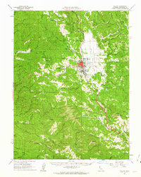 1961 Willits1963 Print · USGSMendocino County's timber and rail corridor comes into focus in the early sixties, centered on the transport hub of Willits. Researchers can trace the routes of the California Western and locate family landmarks such as the Little Lake Cem and Brooktrails Ranch.3 unique versions available
 - 1981 Map of Ukiah
 1981 Ukiah1981 Print · USGSMendocino County’s timber and rail landscape is captured here in the early eighties, from the coastal lumber mills to the inland valleys. Trace the California Western Railroad and find settlements like Fort Bragg, Comptche, and Navarro.3 unique versions available
 - 1991 Map of Willits
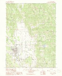 1991 Willits1991 Print · USGSWillits and the surrounding Mendocino County highlands are shown here in the early nineties as the valley floor balanced aviation, industry, and agriculture. Genealogists and local historians can trace the Cem, the Fairground, and the small settlement of Muir.2 unique versions available
 - 2012 Map of Willits, 2012 Print
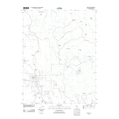 2012 Willits2012 Print · USGSWillits and the surrounding Mendocino County highlands are shown here in the early twenty-first century as the area's ranching and valley life continued to thrive. Researchers can trace family properties like Buckhorn Ranch and Rickards Ranch or locate historical sites at Willits Cemetery.
 - 2015 Map of Willits, 2015 Print
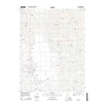 2015 Willits2015 Print · USGSWillits and the surrounding Mendocino County highlands are shown in detail as they appeared in 2015. Researchers can locate family sites and landmarks within Little Lake Valley, including Willits Cemetery and the settlement of Fair Oaks.
 - 2018 Map of Willits, 2018 Print
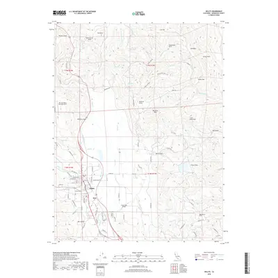 2018 Willits2018 Print · USGSWillits and the surrounding Mendocino County highlands are shown in detail during the late 2010s as the town expands into Little Lake Valley. Researchers can trace the Northwestern Pacific RR line and locate family sites near Willits Cemetery or Little Lake Cemetery.
 - 2022 Map of Willits, 2022 Print
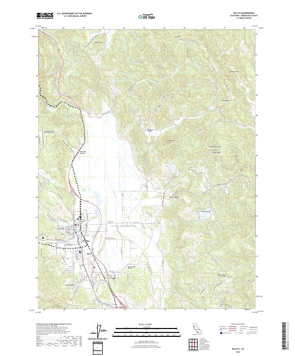 2022 Willits2022 Print · USGSThe town of Willits and the nearby community of Muir are captured in this recent survey of Mendocino County’s Little Lake Valley. Researchers can trace local landmarks and burial grounds like the Little Lake Cem, or explore the drainages of Baechtel Cr and Haehl Cr.
End of results
Showing maps 1-12 of 12
Frequently asked questions
- What are the different types of historical maps available for Fair Oaks?
- What is the oldest map of Fair Oaks?
- Where can I purchase historical maps of Fair Oaks for my home or office?
- Where can I download high-res historical maps of Fair Oaks?
- Are there historical topographic maps available for Fair Oaks?
- Is there historical aerial imagery available for Fair Oaks?
- Where are historical maps of Fair Oaks sourced from?