Old Maps of Cressey, California for Hiking & Exploration
Hike through history with 13 historic maps of Cressey. Explore old trails, ghost towns, and forgotten backroads — perfect for outdoor adventurers and local explorers.
- Rediscover forgotten places: Map out old mining camps, roads, and footpaths that no longer exist on modern maps.
- Layer with modern tools: Combine with LiDAR or satellite views to plan hikes through historical terrain.
- Made for exploration: Popular among hikers, overlanders, and local history lovers.
Use these maps to find adventure and explore the hidden past of Cressey.
Cressey, CA maps
(13)- 1916 Map of Cressey
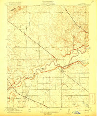 1916 Cressey1916 Print · USGSMerced County agriculture and transit were rapidly expanding when this survey was conducted. Researchers can trace early railroad siding towns like Ballico and Cressey or locate family roots near Madison School and the Merced River.
 - 1947 Map of San Jose, 1948 Print
 1947 San Jose1948 Print · USGSNorthern California's heartland is captured here just after the war, showing the rapid growth of the Santa Clara and Central Valleys. Researchers can trace the legacy of rail and water at Castle Air Force Base, Stockton, and the Hetch Hetchy Aqueduct.
 - 1948 Map of Cressey
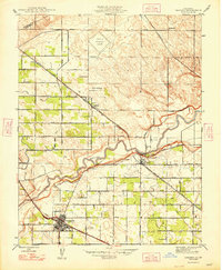 1948 Cressey1948 Print · USGSMerced County agriculture and rail transit are at their post-war peak in this detailed mid-century survey. Genealogists and local historians can trace family properties like the Silver Ann Ranch or locate the old Fruitland Sch and Barfield Sch.2 unique versions available
 - 1956 Map of San Jose
 1956 San Jose1956 Print · USGSCentral California in the mid-fifties reveals the transition from sprawling orchards to growing urban hubs like San Jose and Stockton. Genealogists and historians can trace the rail-era landscape of the Mother Lode through Chinese Camp and Tuttletown, or follow the water through the Joaquin River and Calaveras Reservoir.
 - 1961 Map of Cressey, 1963 Print
 1961 Cressey1963 Print · USGSThe San Joaquin Valley's agricultural and rail heritage is on full display in the early sixties as irrigation transforms the Merced County landscape. Genealogists and historians can trace the growth of Livingston and Cressey while locating family landmarks like Winton Cem and the McConnell State Park.3 unique versions available
 - 1961 Map of Atwater, 1963 Print
 1961 Atwater1963 Print · USGSThe San Joaquin Valley's agricultural and military landscape comes alive in the early sixties as the jet age meets established rail towns. Local historians can trace the development of Castle Air Force Base and find local landmarks like Hopeton Cem, Shaffer Bridge, and numerous rural schools.2 unique versions available
 - 1962 Map of San Jose
 1962 San Jose1962 Print · USGSCentral California in the early sixties showcases the expansion of the San Joaquin and Santa Clara valleys. Researchers can trace the rail-to-road transition along the Southern Pacific RR or locate landmarks like Castle USAF Base and Loma Prieta.4 unique versions available
 - 1966 Map of San Jose
 1966 San Jose1966 Print · USGSCentral California in the mid-1960s reveals a landscape of massive irrigation projects and expanding Cold War military footprints. Researchers can trace the rail-and-river network of the San Joaquin Valley or locate specialized sites like Castle Air Force Base and the Sharp General Depot (Military).
 - 1983 Map of Merced
 1983 Merced1983 Print · USGSThe San Joaquin Valley at the start of the eighties is captured here in its full agricultural and military height. Trace the legacy of Castle Air Force Base, old mines like Pocahontas Mine, and the vast Kesterson National Wildlife Refuge.
 - 2012 Map of Cressey, 2012 Print
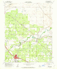
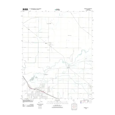 2012 Cressey2012 Print · USGSCovers Cressey, including Livingston, Ballico, and other nearby areas
 - 2015 Map of Cressey, 2015 Print
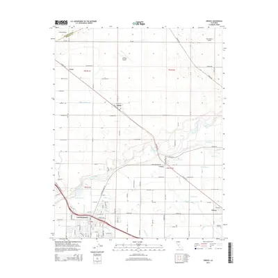 2015 Cressey2015 Print · USGSCovers Cressey, including Livingston, Ballico, and other nearby areas
 - 2018 Map of Cressey, 2018 Print
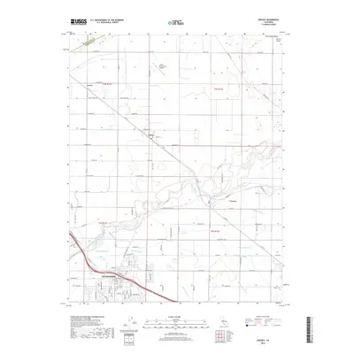 2018 Cressey2018 Print · USGSCovers Cressey, including Livingston, Ballico, and other nearby areas
 - 2021 Map of Cressey, 2021 Print
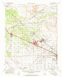
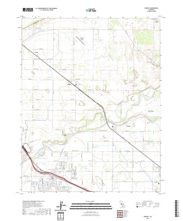 2021 Cressey2021 Print · USGSMerced County agricultural life and the vital Merced River corridor are captured here during the early twenty-first century. Researchers can trace the complex irrigation system of the Livingston Canal and locate landmarks like Winton Cem and the Turlock Municipal Airport.
End of results
Showing maps 1-13 of 13
Top cities near Cressey
- Merced historical maps
- Turlock historical maps
- Atwater historical maps
- Livingston historical maps
- Delhi historical maps
- Winton historical maps
See more
Frequently asked questions
- What are the different types of historical maps available for Cressey?
- What is the oldest map of Cressey?
- Where can I purchase historical maps of Cressey for my home or office?
- Where can I download high-res historical maps of Cressey?
- Are there historical topographic maps available for Cressey?
- Is there historical aerial imagery available for Cressey?
- Where are historical maps of Cressey sourced from?