Old Maps of Irwin, California for Academic Research
Study the evolution of Irwin with 14 high-resolution historic maps. Whether you're teaching, researching, or modeling changes in land use, these maps provide essential visual documentation of urban, environmental, and geographic change.
- Analyze long-term change: Track patterns in development, transportation, and natural features.
- Ideal for environmental or urban studies: Support academic projects with primary historical map data.
- Use in the classroom or lab: Educators and researchers rely on these maps to bring historical context to life.
These maps are a powerful tool for teaching, research, and visualizing how Irwin has changed over the decades.
Irwin, CA maps
(14)- 1917 Map of Turlock
 1917 Turlock1917 Print · USGSThe San Joaquin Valley was rapidly evolving just before the First World War as new irrigation canals and rail lines defined the landscape. You can trace early settlement patterns near Delhi and Irwin, and locate rural landmarks like Roselawn School or the Electric RR.
 - 1942 Map of Irwin
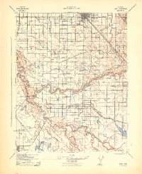 1942 Irwin1942 Print · USGSThe San Joaquin and Merced rivers dominate this 1940s landscape where early irrigation networks met established rail lines. Genealogists can trace rural school districts like Tegner Sch and Helmar Sch or locate old river crossings at Hills Ferry and Fremont Ford.
 - 1947 Map of San Jose, 1948 Print
 1947 San Jose1948 Print · USGSNorthern California's heartland is captured here just after the war, showing the rapid growth of the Santa Clara and Central Valleys. Researchers can trace the legacy of rail and water at Castle Air Force Base, Stockton, and the Hetch Hetchy Aqueduct.
 - 1948 Map of Turlock
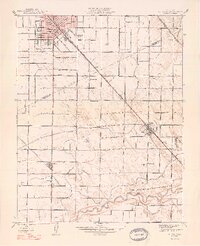 1948 Turlock1948 Print · USGSThe San Joaquin Valley's agricultural heartland thrives in the late 1940s, showcasing the intricate irrigation and rail systems that supported its growth. Researchers can trace the rural school system at Roselawn Sch and Elim Sch or locate family footprints near Fairmead Farm and Delhi.2 unique versions available
 - 1956 Map of San Jose
 1956 San Jose1956 Print · USGSCentral California in the mid-fifties reveals the transition from sprawling orchards to growing urban hubs like San Jose and Stockton. Genealogists and historians can trace the rail-era landscape of the Mother Lode through Chinese Camp and Tuttletown, or follow the water through the Joaquin River and Calaveras Reservoir.
 - 1961 Map of Turlock, 1962 Print
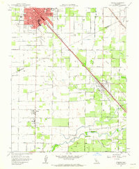 1961 Turlock1962 Print · USGSIn the early sixties, the agricultural heart of the San Joaquin Valley revolved around the rail-and-canal network surrounding Turlock. Genealogists and local historians can trace family-named roads and schools like Roselawn Sch or locate the old commercial corridors of Delhi and Irwin.3 unique versions available
 - 1962 Map of San Jose
 1962 San Jose1962 Print · USGSCentral California in the early sixties showcases the expansion of the San Joaquin and Santa Clara valleys. Researchers can trace the rail-to-road transition along the Southern Pacific RR or locate landmarks like Castle USAF Base and Loma Prieta.4 unique versions available
 - 1962 Map of Turlock, 1963 Print
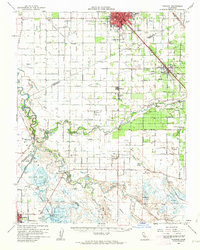 1962 Turlock1963 Print · USGSThe San Joaquin Valley's agricultural heartland is documented here during the early sixties. Trace historical landmarks like the Hilmar High Sch, find family plots at Stevinson Sunnyside Cem, and follow the Southern Pacific rail line.2 unique versions available
 - 1966 Map of San Jose
 1966 San Jose1966 Print · USGSCentral California in the mid-1960s reveals a landscape of massive irrigation projects and expanding Cold War military footprints. Researchers can trace the rail-and-river network of the San Joaquin Valley or locate specialized sites like Castle Air Force Base and the Sharp General Depot (Military).
 - 1983 Map of Merced
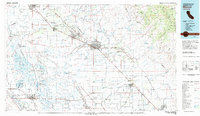 1983 Merced1983 Print · USGSThe San Joaquin Valley at the start of the eighties is captured here in its full agricultural and military height. Trace the legacy of Castle Air Force Base, old mines like Pocahontas Mine, and the vast Kesterson National Wildlife Refuge.
 - 2012 Map of Turlock, 2012 Print
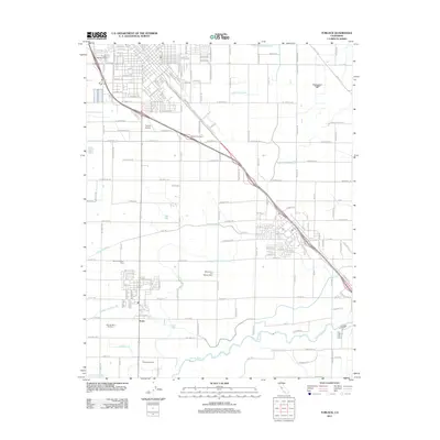 2012 Turlock2012 Print · USGSThe agricultural heart of the San Joaquin Valley comes into focus in this early 2010s survey of the lands south of Turlock. Genealogists and local historians can trace family-named sites like Wickstrom Dairy and the small settlement of Irwin near the Merced River.
 - 2015 Map of Turlock, 2015 Print
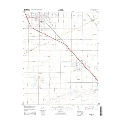 2015 Turlock2015 Print · USGSThe San Joaquin Valley's agricultural and transit hubs are captured here during a period of modern growth. Researchers can trace the development of Turlock and Delhi, alongside irrigation landmarks like the Merced River and Riverside Ditch.
 - 2018 Map of Turlock, 2018 Print
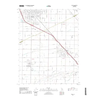 2018 Turlock2018 Print · USGSThe Turlock and Delhi region of the San Joaquin Valley is shown in the late 2010s as a high-production agricultural landscape. Trace family-named landmarks and rural routes along the Merced River and irrigation features like Riverside Ditch or the Garibaldi Lateral.
 - 2021 Map of Turlock, 2021 Print
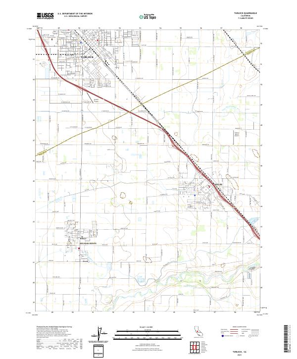 2021 Turlock2021 Print · USGSTurlock and the surrounding Central Valley farmlands are seen here in the early 2020s, showing a landscape defined by irrigation and rail history. Researchers can trace local landmarks like Turlock Memorial Park, the Merced River, and the irrigation network of Garibaldi Lateral.
End of results
Showing maps 1-14 of 14
Top cities near Irwin
- Modesto historical maps
- Turlock historical maps
- Ceres historical maps
- Atwater historical maps
- Livingston historical maps
- Delhi historical maps
See more
Frequently asked questions
- What are the different types of historical maps available for Irwin?
- What is the oldest map of Irwin?
- Where can I purchase historical maps of Irwin for my home or office?
- Where can I download high-res historical maps of Irwin?
- Are there historical topographic maps available for Irwin?
- Is there historical aerial imagery available for Irwin?
- Where are historical maps of Irwin sourced from?