Old Maps of Kandra, California for Hiking & Exploration
Hike through history with 14 historic maps of Kandra. Explore old trails, ghost towns, and forgotten backroads — perfect for outdoor adventurers and local explorers.
- Rediscover forgotten places: Map out old mining camps, roads, and footpaths that no longer exist on modern maps.
- Layer with modern tools: Combine with LiDAR or satellite views to plan hikes through historical terrain.
- Made for exploration: Popular among hikers, overlanders, and local history lovers.
Use these maps to find adventure and explore the hidden past of Kandra.
Kandra, CA maps
(14)- 1886 Map of Modoc Lava Bed
 1886 Modoc Lava Bed1886 Print · USGSNortheastern California is surveyed here in the years following the Modoc War, showing the volcanic terrain of the Modoc Lava Bed and early river settlements. Trace pioneer history through Modoc Rifle Pits, a Ferry on the Pit River, and old outposts like Bieber and Lookout.
 - 1892 Map of Modoc Lava-Bed
 1892 Modoc Lava-Bed1892 Print · USGSNortheastern California's volcanic terrain is meticulously charted in the 1890s, before modern irrigation altered the great northern basins. Genealogists and historians can locate early outposts like Burgettville, the Modoc Rifle Pit, and the high-altitude Ice Cave.7 unique versions available
 - 1951 Map of Tulelake, 1953 Print
 1951 Tulelake1953 Print · USGSTule Lake and the Modoc plateau are captured in the early fifties during the height of the region's agricultural development. Genealogists and historians can trace the legacy of family ranching at Old Elliot Ranch or locate the historic Battle of Lands Ranch (Site) and Carr School.4 unique versions available
 - 1954 Map of Alturas, 1968 Print
 1954 Alturas1968 Print · USGSThe Modoc Plateau and Surprise Valley appear in the mid-1950s as a landscape of remote ranching towns and vast wildlife refuges. Researchers can trace early settlements like Fort Bidwell, locate the McArthur Grain Elevator, and follow the Southern Pacific rail lines.4 unique versions available
 - 1958 Map of Alturas
 1958 Alturas1958 Print · USGSThe Modoc Plateau and Warner Mountains appear here during the late fifties, showcasing a landscape of high-desert ranching and volcanic terrain. Researchers can trace the rail-and-water economy through Alturas, Cedarville, and the Fort Bidwell Indian Res.2 unique versions available
 - 1962 Map of Alturas
 1962 Alturas1962 Print · USGSThe high desert of Modoc and Siskiyou counties is shown in the early sixties as a hub of timber, rail, and agriculture. Genealogists and historians can trace rail-side life via the Southern Pacific RR, the Tionesta PO, and the McArthur Grain Elevator.
 - 1965 Map of Alturas
 1965 Alturas1965 Print · USGSNortheastern California and southern Oregon appear in this mid-century survey of the high plateau and volcanic highlands. Researchers can trace the path of the Southern Pacific railroad through Alturas or locate rural outposts like Stronghold and Eagleville.
 - 1984 Map of Tulelake, 1985 Print
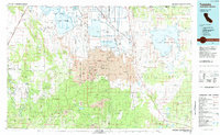 1984 Tulelake1985 Print · USGSThe high desert and volcanic basins of the California-Oregon border are captured here in the mid-eighties. Researchers can trace the legacy of the Southern Pacific railroad through settlements like Stronghold, Newell, and the sprawling Lava Beds National Monument.2 unique versions available
 - 1988 Map of The Panhandle
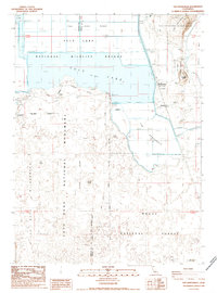 1988 The Panhandle1988 Print · USGSThe volcanic terrain of Modoc County meets industrial agriculture in the late eighties as the basin's water is managed for conservation. Trace the intersection of Lava Beds National Monument and the grain industry at Hannchen Grain Elevator and Captain Jacks Stronghold.
 - 1993 Map of The Panhandle, 1997 Print
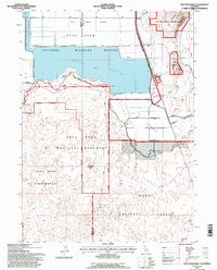 1993 The Panhandle1997 Print · USGSThe Modoc County volcanic landscape is captured here in the early nineties, showing where ancient geology meets modern reclamation. Trace the historic defenses at Captain Jacks Stronghold or locate rail stops like Hannchen and Kandra along the Southern Pacific.
 - 2012 Map of The Panhandle, 2012 Print
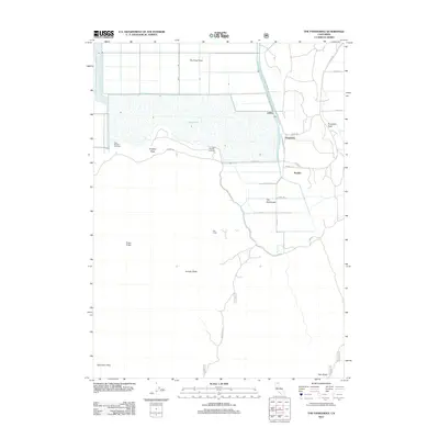 2012 The Panhandle2012 Print · USGSNorthern California's high desert and marshland transition is captured here in the early twenty-first century. Researchers can trace the layout of small rail-side settlements like Liskey and Kandra alongside geological landmarks such as Schonchin Flow and Hospital Rock.
 - 2015 Map of The Panhandle, 2015 Print
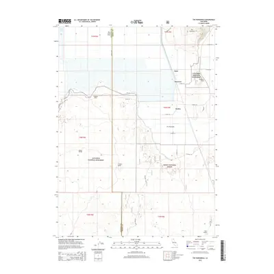 2015 The Panhandle2015 Print · USGSThe volcanic terrain of the Modoc Plateau is captured here in the early twenty-first century, spanning the Siskiyou and Modoc county line. Genealogists and historians can trace local settlements like Liskey and Hannchen or explore landmarks within Lava Beds National Monument and the Modoc National Forest.
 - 2018 Map of The Panhandle, 2018 Print
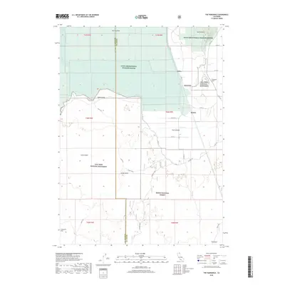 2018 The Panhandle2018 Print · USGSThe Siskiyou and Modoc county line comes alive in the late 2010s, showing a landscape where agriculture meets volcanic history. Trace family roots or land use near Liskey, or locate geological landmarks like Hospital Rock, Prisoners Rock, and the Schonchin Flow.
 - 2021 Map of The Panhandle, 2021 Print
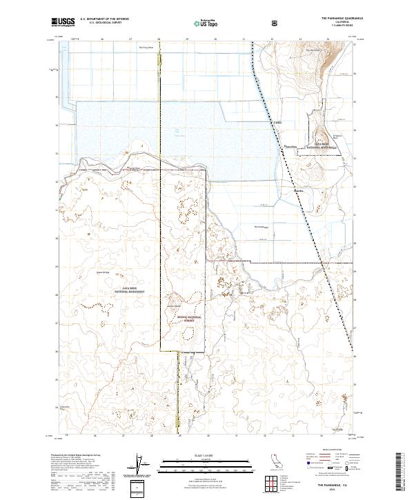 2021 The Panhandle2021 Print · USGSThe northern California borderlands are mapped here during the early twenty-first century, showcasing the intersection of the Tule Lake National Wildlife Refuge and Lava Beds National Monument. Researchers can trace the volcanic landscape of the Schonchin Flow or locate small settlements like Liskey and Hannchen.
End of results
Showing maps 1-14 of 14
Top cities near Kandra
Frequently asked questions
- What are the different types of historical maps available for Kandra?
- What is the oldest map of Kandra?
- Where can I purchase historical maps of Kandra for my home or office?
- Where can I download high-res historical maps of Kandra?
- Are there historical topographic maps available for Kandra?
- Is there historical aerial imagery available for Kandra?
- Where are historical maps of Kandra sourced from?