Old Maps of Old Mammoth, Mammoth Lakes for Genealogy
Trace your family roots with 13 historic maps of Old Mammoth. These high-res maps reveal old neighborhoods, homesites, landmarks, and streets — helping you uncover where your ancestors lived and how the area evolved over time.
- Explore historic neighborhoods: Identify where your relatives may have lived in the 1800s or 1900s.
- Compare maps over time: Trace the changes in streets, buildings, and landmarks for multi-generational research.
- Perfect for genealogy & ancestry research: Used by family historians and researchers to map out lineage and migration.
These maps are an incredible resource for exploring your personal connection to Old Mammoth's past.
Old Mammoth, Mammoth Lakes maps
(13)- 1914 Map of Mt. Morrison
 1914 Mt. Morrison1914 Print · USGSThe High Sierra and Mono Basin are seen here in the early twentieth century, showing a network of remote ranches and early timber camps. Researchers can trace historic sites like Mono Mills, the remote Dutch Petes Ranch, and the Casa Diablo Mine.8 unique versions available
 - 1947 Map of Mariposa, 1948 Print
 1947 Mariposa1948 Print · USGSThe High Sierra and Owens Valley transition is captured here in the late 1940s, just as the region’s hydroelectric and tourism infrastructure was maturing. Genealogists and historians can trace old ranger stations, the Casa Diablo Mine, and rail stops along the Southern Pacific like Benton Station and Zurich.2 unique versions available
 - 1948 Map of Mariposa, 1951 Print
 1948 Mariposa1951 Print · USGSThe High Sierra and Mariposa foothills are shown here in the late 1940s as the post-war tourism and water infrastructure expanded. Genealogists and historians can locate vanished waypoints like Mormon Bar, the Glacier Point Hotel, and the granite quarries of Knowles.
 - 1953 Map of Mt. Morrison, 1955 Print
 1953 Mt. Morrison1955 Print · USGSThe Eastern Sierra Nevada and Owens River valley appear here in the early fifties, a time of both ranching and high-altitude recreation. Genealogists and historians can trace Arcularius Ranch, the site at Old Mammoth, and the Scheelore Mine among the mountain peaks.7 unique versions available
 - 1957 Map of Mariposa, 1966 Print
 1957 Mariposa1966 Print · USGSThe High Sierra and Owens Valley appear in the mid-fifties, showing the intersection of conservation, hydroelectric power, and mountain industry. Genealogists and researchers can trace local landmarks like Yosemite Cemetery, the remote Kinsley Station, and the Pine Creek Mine.4 unique versions available
 - 1963 Map of Mariposa
 1963 Mariposa1963 Print · USGSThe High Sierra and Owens Valley meet in the early sixties, showing a landscape defined by gold-rush history and massive post-war water projects. Genealogists and researchers can trace old mining routes near Mariposa, locate the Glacier Point Hotel, and find small settlements like Coarse Gold or Knowles Junction.
 - 1983 Map of Old Mammoth, 1984 Print
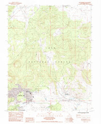 1983 Old Mammoth1984 Print · USGSMammoth Lakes and the high country of the Eastern Sierra are captured here in the early eighties as the region evolved into a major recreation hub. Trace the development of the village and outlying sites like Casa Diablo Hot Sprs, Old Mammoth, and the Arcularius Ranch.3 unique versions available
 - 1988 Map of Benton Range
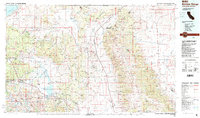 1988 Benton Range1988 Print · USGSThe high desert and alpine peaks of the California-Nevada border come alive in this late-century survey of the Benton Range. Researchers can trace the heritage of remote outposts like Benton and Montgomery City alongside historic workings like the Black Warrior Mine.2 unique versions available
 - 1994 Map of Old Mammoth, 1997 Print
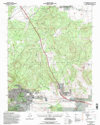 1994 Old Mammoth1997 Print · USGSMammoth Lakes and the high Sierra foothills are captured in the mid-nineties during a period of significant recreational growth. Researchers can locate original sites at Old Mammoth, trace the Earthquake Fault, or find the historic Arcularius Ranch.
 - 2012 Map of Old Mammoth, 2012 Print
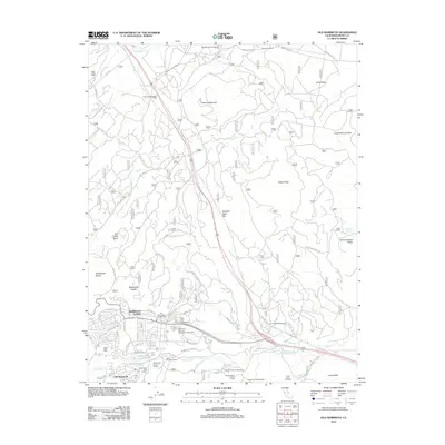 2012 Old Mammoth2012 Print · USGSMammoth Lakes and the surrounding Mono County high country are captured here in the early 2000s as recreation and geothermal activity define the landscape. Researchers can trace old ranching outposts like Arcularius Ranch and modern landmarks like Casa Diablo Hot Springs or Old Mammoth.
 - 2015 Map of Old Mammoth, 2015 Print
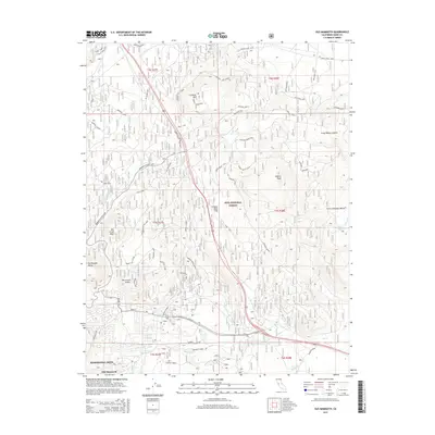 2015 Old Mammoth2015 Print · USGSThe eastern Sierra high country around Mammoth Lakes is documented here during its mid-2010s expansion. Researchers can trace historical routes through Old Mammoth and locate geologic landmarks like Earthquake Dome and the Long Valley Caldera.
 - 2018 Map of Old Mammoth, 2018 Print
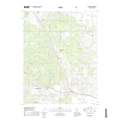 2018 Old Mammoth2018 Print · USGSMammoth Lakes and the eastern Sierra peaks appear in great detail during the late twenty-teens. Researchers can trace the development of Old Mammoth and locate historical sites like the Old CCC Camp or the volcanic heights of Earthquake Dome.
 - 2021 Map of Old Mammoth, 2021 Print
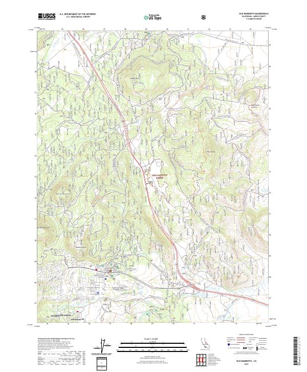 2021 Old Mammoth2021 Print · USGSMono County's high Sierra landscape is captured here in the early twenty-first century as the resort community grows. Trace local history from the Old CCC Camp to modern landmarks like Old Mammoth and Earthquake Dome.
End of results
Showing maps 1-13 of 13
Frequently asked questions
- What are the different types of historical maps available for Old Mammoth?
- What is the oldest map of Old Mammoth?
- Where can I purchase historical maps of Old Mammoth for my home or office?
- Where can I download high-res historical maps of Old Mammoth?
- Are there historical topographic maps available for Old Mammoth?
- Is there historical aerial imagery available for Old Mammoth?
- Where are historical maps of Old Mammoth sourced from?