Old Maps of North Landing, California for Academic Research
Study the evolution of North Landing with 14 high-resolution historic maps. Whether you're teaching, researching, or modeling changes in land use, these maps provide essential visual documentation of urban, environmental, and geographic change.
- Analyze long-term change: Track patterns in development, transportation, and natural features.
- Ideal for environmental or urban studies: Support academic projects with primary historical map data.
- Use in the classroom or lab: Educators and researchers rely on these maps to bring historical context to life.
These maps are a powerful tool for teaching, research, and visualizing how North Landing has changed over the decades.
North Landing, CA maps
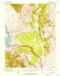
(14)- 1914 Map of Mt. Morrison
 1914 Mt. Morrison1914 Print · USGSThe High Sierra and Mono Basin are seen here in the early twentieth century, showing a network of remote ranches and early timber camps. Researchers can trace historic sites like Mono Mills, the remote Dutch Petes Ranch, and the Casa Diablo Mine.8 unique versions available
 - 1947 Map of Mariposa, 1948 Print
 1947 Mariposa1948 Print · USGSThe High Sierra and Owens Valley transition is captured here in the late 1940s, just as the region’s hydroelectric and tourism infrastructure was maturing. Genealogists and historians can trace old ranger stations, the Casa Diablo Mine, and rail stops along the Southern Pacific like Benton Station and Zurich.2 unique versions available
 - 1948 Map of Mariposa, 1951 Print
 1948 Mariposa1951 Print · USGSThe High Sierra and Mariposa foothills are shown here in the late 1940s as the post-war tourism and water infrastructure expanded. Genealogists and historians can locate vanished waypoints like Mormon Bar, the Glacier Point Hotel, and the granite quarries of Knowles.
 - 1953 Map of Casa Diablo Mtn, 1955 Print
 1953 Casa Diablo Mtn1955 Print · USGSThe High Sierra and Benton Range meet in the early 1950s, showing a landscape defined by Owens River water and hard-rock mining. Trace the historic mining district through the Casa Diablo Mine, Kings Mill, and the community at Toms Place.4 unique versions available
 - 1957 Map of Mariposa, 1966 Print
 1957 Mariposa1966 Print · USGSThe High Sierra and Owens Valley appear in the mid-fifties, showing the intersection of conservation, hydroelectric power, and mountain industry. Genealogists and researchers can trace local landmarks like Yosemite Cemetery, the remote Kinsley Station, and the Pine Creek Mine.4 unique versions available
 - 1963 Map of Mariposa
 1963 Mariposa1963 Print · USGSThe High Sierra and Owens Valley meet in the early sixties, showing a landscape defined by gold-rush history and massive post-war water projects. Genealogists and researchers can trace old mining routes near Mariposa, locate the Glacier Point Hotel, and find small settlements like Coarse Gold or Knowles Junction.
 - 1984 Map of Watterson Canyon
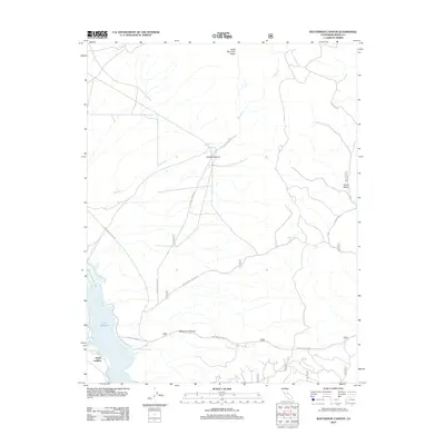
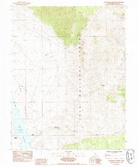 1984 Watterson Canyon1984 Print · USGSMono County's high-elevation basin is captured in the mid-1980s as it transitions from the shores of Crowley Lake into the national forest. Researchers can trace the riparian landscape of Wilfred Creek, the access point at Benton Crossing, and the lakeside activity at North Landing.
 - 1988 Map of Benton Range
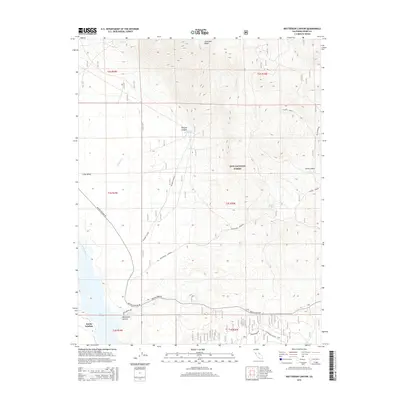
 1988 Benton Range1988 Print · USGSThe high desert and alpine peaks of the California-Nevada border come alive in this late-century survey of the Benton Range. Researchers can trace the heritage of remote outposts like Benton and Montgomery City alongside historic workings like the Black Warrior Mine.2 unique versions available
 - 1990 Map of Watterson Canyon, 1995 Print
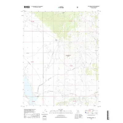
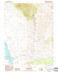 1990 Watterson Canyon1995 Print · USGSMono County's high-desert basin and alpine slopes are captured here in the 1990s, where the eastern Sierra meets the reservoir. Researchers can trace the shoreline of Crowley Lake, locate the North Landing site, and follow old routes like Benton Crossing Road through the Inyo National Forest.
 - 1994 Map of Watterson Canyon, 1997 Print
 1994 Watterson Canyon1997 Print · USGSThe eastern edge of the Sierra Nevada high desert is captured here in the mid-1990s, centering on the remote canyons of the Inyo National Forest. Researchers can trace land use through landmarks like North Landing, Watterson Troughs, and Layton Springs.
 - 2012 Map of Watterson Canyon, 2012 Print
 2012 Watterson Canyon2012 Print · USGSCovers North Landing, including Mono County, United States, and other nearby areas
 - 2015 Map of Watterson Canyon, 2015 Print
 2015 Watterson Canyon2015 Print · USGSCovers North Landing, including Mono County, United States, and other nearby areas
 - 2018 Map of Watterson Canyon, 2018 Print
 2018 Watterson Canyon2018 Print · USGSCovers North Landing, including Mono County, United States, and other nearby areas
 - 2021 Map of Watterson Canyon, 2021 Print
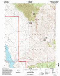
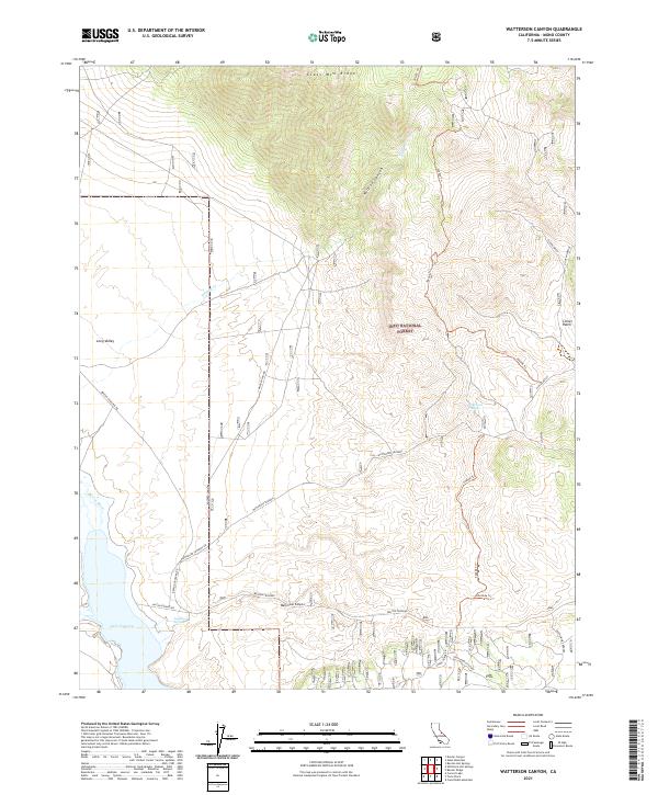 2021 Watterson Canyon2021 Print · USGSHigh Sierra foothills and volcanic ridges meet the plains of Mono County in the early twenty-first century. Researchers can trace historic water sources and ranching landmarks like Watterson Troughs, Layton Springs, and the marshy flats of Clover Patch.
End of results
Showing maps 1-14 of 14
Top cities near North Landing
- Mammoth Lakes historical maps
- Crowley Lake historical maps
- Round Valley historical maps
- Mesa historical maps
- Swall Meadows historical maps
- Paradise historical maps
See more
Frequently asked questions
- What are the different types of historical maps available for North Landing?
- What is the oldest map of North Landing?
- Where can I purchase historical maps of North Landing for my home or office?
- Where can I download high-res historical maps of North Landing?
- Are there historical topographic maps available for North Landing?
- Is there historical aerial imagery available for North Landing?
- Where are historical maps of North Landing sourced from?