2000s (21st Century) Maps of Deer Creek Park, California
Explore 5 historic maps of Deer Creek Park from the 2000s (21st Century). These maps offer a rare glimpse into what life looked like during the 2000s — showing old roads, neighborhoods, homes, and landmarks that have changed or disappeared over time.
Whether you're researching your family's past, planning a metal detecting trip, or studying how Deer Creek Park's landscape evolved across the 2000s, these high-resolution maps are a powerful tool for exploring the history of this region.
- Focus on a specific era: All maps on this page are from the 2000s, giving you a focused view of this time period.
- See what’s changed: Compare century-old streets, trails, and buildings to today's modern landscape using overlays and satellite layers.
- Research with precision: Use these maps for genealogy, historical research, land use analysis, or educational projects.
- View, download, or print: Maps are fully viewable online in high resolution, and can be downloaded or printed for your own records.
Start exploring Deer Creek Park's history through authentic maps from the 2000s. This is your window into the past.
Deer Creek Park, CA maps
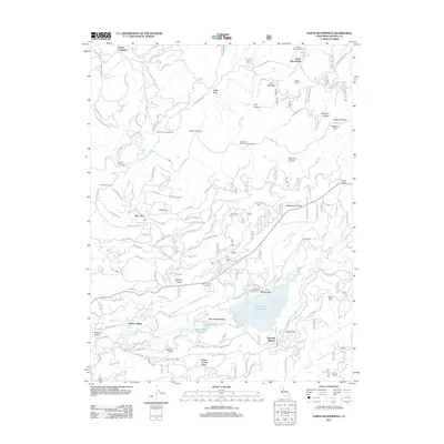
(5)- 2000 Map of North Bloomfield, 2003 Print
 2000 North Bloomfield2003 Print · USGSGold Country mining history and water infrastructure are detailed in this survey of the northern Sierras at the turn of the millennium. Genealogists and historians can trace industrial heritage through Malakoff Diggings, the Blue Tent School, and the Murchie Mine.
 - 2012 Map of North Bloomfield, 2012 Print
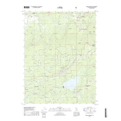
 2012 North Bloomfield2012 Print · USGSCovers Deer Creek Park, including North Columbia, Lake City, and other nearby areas
 - 2015 Map of North Bloomfield, 2015 Print
 2015 North Bloomfield2015 Print · USGSCovers Deer Creek Park, including North Columbia, Lake City, and other nearby areas
 - 2018 Map of North Bloomfield, 2018 Print
 2018 North Bloomfield2018 Print · USGSCovers Deer Creek Park, including North Columbia, Lake City, and other nearby areas
 - 2022 Map of North Bloomfield, 2022 Print
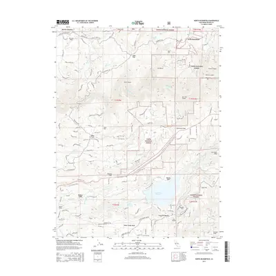
 2022 North Bloomfield2022 Print · USGSThe historic gold-mining corridor of the San Juan Ridge is captured here in the early twenty-first century. Genealogists and researchers can trace local landmarks like North Bloomfield Cem, the remote settlement of Missouri Bar, and the waters of Scotts Flat Reservoir.
End of results
Showing maps 1-5 of 5
Top cities near Deer Creek Park
- Grass Valley historical maps
- Nevada City historical maps
- Colfax historical maps
- Rough and Ready historical maps
- Washington historical maps
Frequently asked questions
- What are the different types of historical maps available for Deer Creek Park?
- What is the oldest map of Deer Creek Park?
- Where can I purchase historical maps of Deer Creek Park for my home or office?
- Where can I download high-res historical maps of Deer Creek Park?
- Are there historical topographic maps available for Deer Creek Park?
- Is there historical aerial imagery available for Deer Creek Park?
- Where are historical maps of Deer Creek Park sourced from?