2000s (21st Century) Maps of Woolman School, California
Explore 5 historic maps of Woolman School from the 2000s (21st Century). These maps offer a rare glimpse into what life looked like during the 2000s — showing old roads, neighborhoods, homes, and landmarks that have changed or disappeared over time.
Whether you're researching your family's past, planning a metal detecting trip, or studying how Woolman School's landscape evolved across the 2000s, these high-resolution maps are a powerful tool for exploring the history of this region.
- Focus on a specific era: All maps on this page are from the 2000s, giving you a focused view of this time period.
- See what’s changed: Compare century-old streets, trails, and buildings to today's modern landscape using overlays and satellite layers.
- Research with precision: Use these maps for genealogy, historical research, land use analysis, or educational projects.
- View, download, or print: Maps are fully viewable online in high resolution, and can be downloaded or printed for your own records.
Start exploring Woolman School's history through authentic maps from the 2000s. This is your window into the past.
Woolman School, CA maps
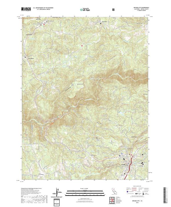
(5)- 2000 Map of Nevada City, 2003 Print
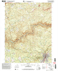 2000 Nevada City2003 Print · USGSNevada City and the surrounding Sierra foothills are mapped here as the millennium turned, showing a landscape defined by gold-rush history and state park conservation. Trace old hydraulic works at Cherokee Diggings Hydraulic Mine or locate family landmarks like Marshall Ranch and Newtown.
 - 2012 Map of Nevada City, 2012 Print
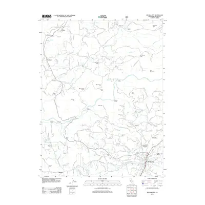 2012 Nevada City2012 Print · USGSCovers Woolman School, including Nevada City, Sweetland, and other nearby areas
 - 2015 Map of Nevada City, 2015 Print
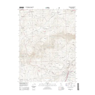 2015 Nevada City2015 Print · USGSCovers Woolman School, including Nevada City, Sweetland, and other nearby areas
 - 2018 Map of Nevada City, 2018 Print
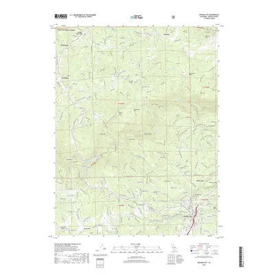 2018 Nevada City2018 Print · USGSCovers Woolman School, including Nevada City, Sweetland, and other nearby areas
 - 2022 Map of Nevada City, 2022 Print
 2022 Nevada City2022 Print · USGSNevada City and the surrounding Mother Lode ridges are captured in this recent survey of the Sierra foothills. Researchers can trace historic cemeteries and civic landmarks, from the Nevada County Courthouse to the Maidu Tribal Burying Grounds Cem and Pioneer Cem.
End of results
Showing maps 1-5 of 5
Top cities near Woolman School
- Grass Valley historical maps
- Nevada City historical maps
- Colfax historical maps
- Rough and Ready historical maps
Frequently asked questions
- What are the different types of historical maps available for Woolman School?
- What is the oldest map of Woolman School?
- Where can I purchase historical maps of Woolman School for my home or office?
- Where can I download high-res historical maps of Woolman School?
- Are there historical topographic maps available for Woolman School?
- Is there historical aerial imagery available for Woolman School?
- Where are historical maps of Woolman School sourced from?