1900s (20th Century) Maps of Laguna Altura, Irvine
Explore 34 historic maps of Laguna Altura from the 1900s (20th Century). These maps offer a rare glimpse into what life looked like during the 1900s — showing old roads, neighborhoods, homes, and landmarks that have changed or disappeared over time.
Whether you're researching your family's past, planning a metal detecting trip, or studying how Laguna Altura's landscape evolved across the 1900s, these high-resolution maps are a powerful tool for exploring the history of this region.
- Focus on a specific era: All maps on this page are from the 1900s, giving you a focused view of this time period.
- See what’s changed: Compare century-old streets, trails, and buildings to today's modern landscape using overlays and satellite layers.
- Research with precision: Use these maps for genealogy, historical research, land use analysis, or educational projects.
- View, download, or print: Maps are fully viewable online in high resolution, and can be downloaded or printed for your own records.
Start exploring Laguna Altura's history through authentic maps from the 1900s. This is your window into the past.
Laguna Altura, Irvine maps
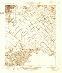
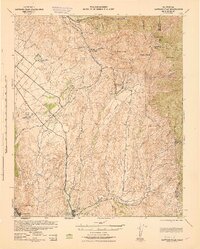
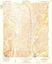
(34)- 1901 Map of Southern California Sheet No. 1
 1901 Southern California Sheet No. 11901 Print · USGSCovers Laguna Altura, including Los Angeles, Long Beach, and other nearby areas11 unique versions available
 - 1901 Map of Santa Ana
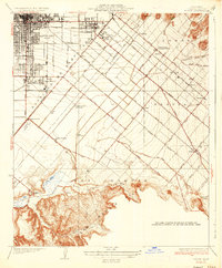
 1901 Santa Ana1901 Print · USGSCovers Laguna Altura, including Santa Ana, Irvine, and other nearby areas6 unique versions available
 - 1902 Map of Corona
 1902 Corona1902 Print · USGSCovers Laguna Altura, including Anaheim, Santa Ana, and other nearby areas7 unique versions available
 - 1904 Map of Southern California Sheet No. 1, 1905 Print
 1904 Southern California Sheet No. 11905 Print · USGSCovers Laguna Altura, including Los Angeles, Long Beach, and other nearby areas3 unique versions available
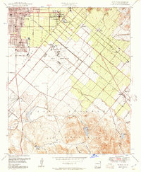
 - 1932 Map of Tustin
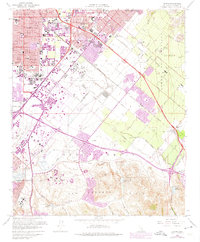
 1932 Tustin1932 Print · USGSCovers Laguna Altura, including Santa Ana, Irvine, and other nearby areas
 - 1935 Map of Tustin
 1935 Tustin1935 Print · USGSCovers Laguna Altura, including Santa Ana, Irvine, and other nearby areas3 unique versions available
 - 1935 Map of El Toro
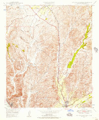
 1935 El Toro1935 Print · USGSCovers Laguna Altura, including Irvine, Mission Viejo, and other nearby areas4 unique versions available
 - 1942 Map of Santa Ana
 1942 Santa Ana1942 Print · USGSCovers Laguna Altura, including Santa Ana, Irvine, and other nearby areas2 unique versions available
 - 1942 Map of Santiago Peak, 1943 Print
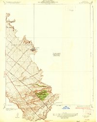
 1942 Santiago Peak1943 Print · USGSCovers Laguna Altura, including Irvine, Mission Viejo, and other nearby areas3 unique versions available
 - 1947 Map of Santa Ana, 1949 Print
 1947 Santa Ana1949 Print · USGSCovers Laguna Altura, including San Diego, Anaheim, and other nearby areas
 - 1948 Map of Tustin, 1957 Print
 1948 Tustin1957 Print · USGSCovers Laguna Altura, including Santa Ana, Irvine, and other nearby areas2 unique versions available
 - 1948 Map of Laguna Beach, 1957 Print
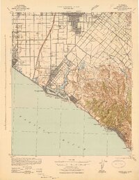
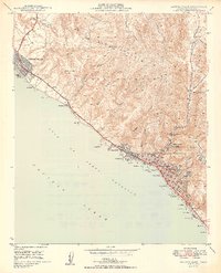
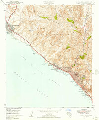 1948 Laguna Beach1957 Print · USGSCovers Laguna Altura, including Irvine, Newport Beach, and other nearby areas2 unique versions available
 - 1948 Map of San Juan Capistrano, 1957 Print
 1948 San Juan Capistrano1957 Print · USGSCovers Laguna Altura, including Irvine, Mission Viejo, and other nearby areas4 unique versions available
 - 1949 Map of San Juan Capistrano
 1949 San Juan Capistrano1949 Print · USGSCovers Laguna Altura, including Irvine, Mission Viejo, and other nearby areas
 - 1949 Map of Laguna Beach
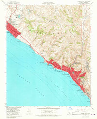
 1949 Laguna Beach1949 Print · USGSCovers Laguna Altura, including Irvine, Newport Beach, and other nearby areas2 unique versions available
 - 1949 Map of Santa Ana
 1949 Santa Ana1949 Print · USGSCovers Laguna Altura, including San Diego, Anaheim, and other nearby areas
 - 1949 Map of El Toro, 1958 Print
 1949 El Toro1958 Print · USGSCovers Laguna Altura, including Irvine, Mission Viejo, and other nearby areas2 unique versions available
 - 1950 Map of Tustin
 1950 Tustin1950 Print · USGSCovers Laguna Altura, including Santa Ana, Irvine, and other nearby areas2 unique versions available
 - 1950 Map of El Toro
 1950 El Toro1950 Print · USGSCovers Laguna Altura, including Irvine, Mission Viejo, and other nearby areas2 unique versions available
 - 1956 Map of Santa Ana
 1956 Santa Ana1956 Print · USGSCovers Laguna Altura, including San Diego, Anaheim, and other nearby areas
 - 1959 Map of Santa Ana, 1971 Print
 1959 Santa Ana1971 Print · USGSCovers Laguna Altura, including San Diego, Anaheim, and other nearby areas3 unique versions available
 - 1960 Map of Santa Ana
 1960 Santa Ana1960 Print · USGSCovers Laguna Altura, including San Diego, Anaheim, and other nearby areas2 unique versions available
 - 1962 Map of Tustin, 1975 Print
 1962 Tustin1975 Print · USGSCovers Laguna Altura, including Santa Ana, Irvine, and other nearby areas
 - 1965 Map of Santa Ana
 1965 Santa Ana1965 Print · USGSCovers Laguna Altura, including San Diego, Anaheim, and other nearby areas
 - 1965 Map of Laguna Beach, 1967 Print
 1965 Laguna Beach1967 Print · USGSCovers Laguna Altura, including Irvine, Newport Beach, and other nearby areas4 unique versions available
Showing maps 1-25 of 34
Frequently asked questions
- What are the different types of historical maps available for Laguna Altura?
- What is the oldest map of Laguna Altura?
- Where can I purchase historical maps of Laguna Altura for my home or office?
- Where can I download high-res historical maps of Laguna Altura?
- Are there historical topographic maps available for Laguna Altura?
- Is there historical aerial imagery available for Laguna Altura?
- Where are historical maps of Laguna Altura sourced from?