Old Maps of Mahogany Hills, Murrieta for Metal Detecting
Plan your next treasure hunt with 34 historic maps of Mahogany Hills. Find old homesites, ghost towns, trails, and gathering spots that may be lost to time — perfect for identifying promising metal detecting locations.
- Locate forgotten sites: Uncover places like long-lost settlements, abandoned rail lines, or gathering spots.
- Plan better hunts: Use map overlays combined with LiDAR or satellite views to narrow in on historically rich areas.
- Made for detectorists: Thousands of hobbyists use these maps to discover relics, coins, and hidden history.
Use these historic maps to boost your research and find new opportunities beneath the surface of Mahogany Hills.
Mahogany Hills, Murrieta maps
(34)- 1901 Map of Southern California Sheet No. 1
 1901 Southern California Sheet No. 11901 Print · USGSGreater Los Angeles at the dawn of the twentieth century is a landscape of growing citrus towns and a burgeoning rail network. Genealogists and historians can trace the early gridded streets of Hollywood and Pasadena or locate landmarks like Bear Lake and the Cahuilla Indian Reservation.6 unique versions available
 - 1901 Map of Elsinore
 1901 Elsinore1901 Print · USGSRiverside and the Alessandro Valley are shown here during a peak of early mining and rail expansion. Genealogists and historians can trace the Southern California RR through Perris or locate the Alberhill Coal Mine and Indian School.8 unique versions available
 - 1904 Map of Southern California Sheet No. 1, 1905 Print
 1904 Southern California Sheet No. 11905 Print · USGSSouthern California at the dawn of the twentieth century shows a landscape of citrus groves and coastal towns connected by rail. Genealogists and historians can trace early settlements like San Juan Capistrano, find remote sites like the Rose Mine, and study the original water systems of the Santa Ana River.2 unique versions available
 - 1942 Map of Murrieta, 1958 Print
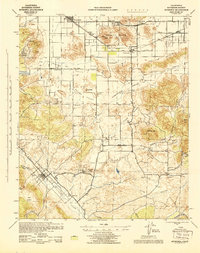
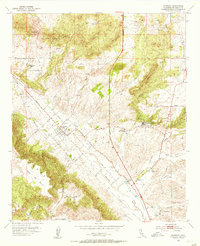
 1942 Murrieta1958 Print · USGSRiverside County at the dawn of the 1940s reveals a patchwork of ranching valleys and early railway hubs. Researchers can locate long-standing rural schools like Alamos Sch, the historic Murrieta Hot Springs, and the workings of the Leon Mine.2 unique versions available
 - 1943 Map of Murrieta
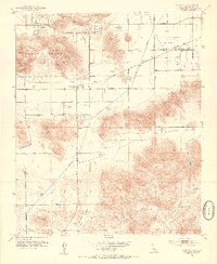
 1943 Murrieta1943 Print · USGSRiverside County at the height of the Second World War shows a landscape of rail-connected farming towns and quiet interior valleys. Researchers can locate vanished rural landmarks like the Leon Mine, the Menifee Sch, and the original rail siding at Winchester.
 - 1947 Map of Santa Ana, 1949 Print
 1947 Santa Ana1949 Print · USGSSouthern California is depicted here in the late forties, showing the expansion of the Inland Empire and the Orange County coast. Researchers can trace the early layout of Palm Springs or locate long-standing tribal lands like the Pala Indian Reservation and Rincon Indian Res.
 - 1949 Map of Santa Ana
 1949 Santa Ana1949 Print · USGSSouthern California underwent a profound transformation in the late 1940s as military installations and citrus groves shared the landscape. Researchers can trace early coastal growth at Laguna Beach, military history at Camp Pendleton, and the rail corridors of the Pacific Electric.
 - 1953 Map of Winchester, 1954 Print
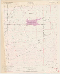
 1953 Winchester1954 Print · USGSWinchester and the surrounding San Jacinto Valley are shown in the early 1950s as the regional infrastructure began to modernize. Researchers can trace the path of the Atchison Topeka and Santa Fe railroad or locate landmarks like Ryan Field and the local Cem.7 unique versions available
 - 1953 Map of Romoland, 1954 Print
 1953 Romoland1954 Print · USGSThe Perris and Menifee Valleys are seen here in the early 1950s, characterized by desert ranching and early recreational developments. Trace the old Santa Fe rail stops like Ethanac Siding or find the Leon Mine and Menifee Sch.6 unique versions available
 - 1953 Map of Bachelor Mtn., 1955 Print
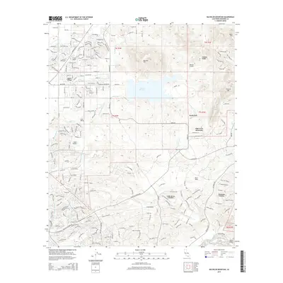
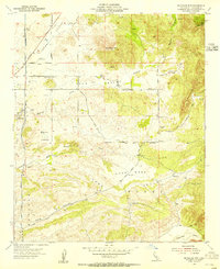 1953 Bachelor Mtn.1955 Print · USGSRiverside County’s interior valleys and ranch lands are preserved here in the early fifties, just as major water infrastructure began to reshape the region. Researchers can trace the path of the San Diego Aqueduct or locate rural landmarks like Auld Ranch and Alamos Sch.6 unique versions available
 - 1953 Map of Murrieta, 1955 Print
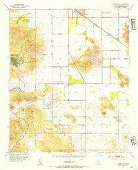
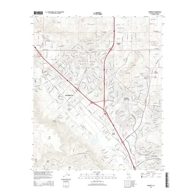
 1953 Murrieta1955 Print · USGSRiverside County at the start of the 1950s shows a landscape of small agricultural settlements and natural mineral springs. You can trace early homesteads like Oak Springs Ranch, find local burials at Laurel Cem, and locate the historic resort sites at Murrieta Hot Springs.6 unique versions available
 - 1956 Map of Santa Ana
 1956 Santa Ana1956 Print · USGSSouthern California underwent massive mid-century transformation as suburban growth met major military and water projects. Trace the postwar expansion of Santa Ana and Riverside, the layout of Camp Pendleton, and the path of the Colorado River Aqueduct.
 - 1959 Map of Santa Ana, 1971 Print
 1959 Santa Ana1971 Print · USGSSouthern California is captured in a decade of transformation, from the Orange County coast to the desert floor. Researchers can trace the mid-century footprints of Camp Pendleton, March Air Force Base, and the original Ortega Highway.3 unique versions available
 - 1960 Map of Santa Ana
 1960 Santa Ana1960 Print · USGSSouthern California's coastal plains and inland deserts meet in this mid-century survey of the burgeoning Orange and Riverside county corridors. Researchers can trace the layout of early freeway systems, find tribal lands like the Soboba Indian Reservation, and locate military landmarks such as March Field.2 unique versions available
 - 1965 Map of Santa Ana
 1965 Santa Ana1965 Print · USGSSouthern California is captured in a decade of rapid growth, showing the coastal expansion from Santa Ana down to Oceanside. Genealogists and historians can trace the mid-century development of places like Garden Grove or the rural reaches of Escondido and the Palomar Observatory.
 - 1973 Map of Bachelor Mtn, 1976 Print
 1973 Bachelor Mtn1976 Print · USGSInland Riverside County is shown during a transformative era of water management and rural transition in the early 1970s. Researchers can trace the development of Skinner Reservoir alongside older landmarks like Alamos Sch and the San Diego Aqueduct.
 - 1983 Map of Santa Ana
 1983 Santa Ana1983 Print · USGSCoastal Orange County meets the Inland Empire in the early eighties as suburban growth accelerates through the SANTA ANA MOUNTAINS. Researchers can trace institutional and military history at MARCH AIR FORCE BASE, locate the Santiago Coal Mine, or find family sites near Fairhaven Cem.
 - 2012 Map of Winchester, 2012 Print
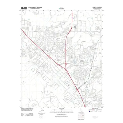
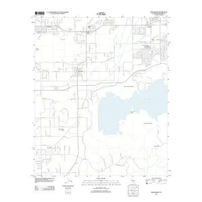 2012 Winchester2012 Print · USGSCovers Mahogany Hills, including Murrieta, Menifee, and other nearby areas
 - 2012 Map of Bachelor Mountain, 2012 Print
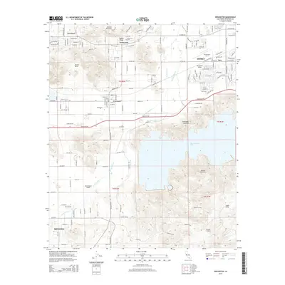
 2012 Bachelor Mountain2012 Print · USGSCovers Mahogany Hills, including Murrieta, Temecula, and other nearby areas
 - 2012 Map of Romoland, 2012 Print
 2012 Romoland2012 Print · USGSCovers Mahogany Hills, including Murrieta, Menifee, and other nearby areas
 - 2012 Map of Murrieta, 2012 Print
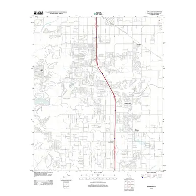
 2012 Murrieta2012 Print · USGSCovers Mahogany Hills, including Murrieta, Temecula, and other nearby areas
 - 2015 Map of Romoland, 2015 Print
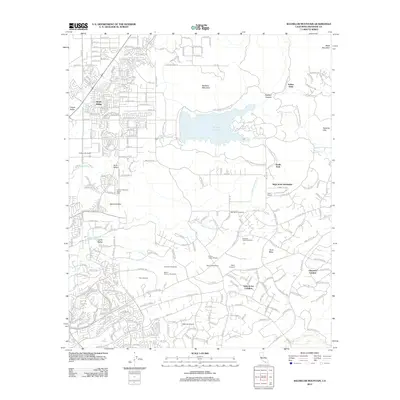
 2015 Romoland2015 Print · USGSCovers Mahogany Hills, including Murrieta, Menifee, and other nearby areas
 - 2015 Map of Winchester, 2015 Print
 2015 Winchester2015 Print · USGSCovers Mahogany Hills, including Murrieta, Menifee, and other nearby areas
 - 2015 Map of Bachelor Mountain, 2015 Print
 2015 Bachelor Mountain2015 Print · USGSCovers Mahogany Hills, including Murrieta, Temecula, and other nearby areas
 - 2015 Map of Murrieta, 2015 Print
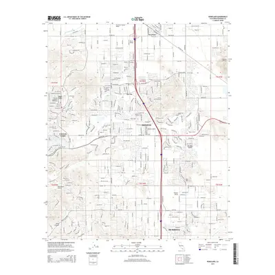
 2015 Murrieta2015 Print · USGSCovers Mahogany Hills, including Murrieta, Temecula, and other nearby areas
Showing maps 1-25 of 34
Frequently asked questions
- What are the different types of historical maps available for Mahogany Hills?
- What is the oldest map of Mahogany Hills?
- Where can I purchase historical maps of Mahogany Hills for my home or office?
- Where can I download high-res historical maps of Mahogany Hills?
- Are there historical topographic maps available for Mahogany Hills?
- Is there historical aerial imagery available for Mahogany Hills?
- Where are historical maps of Mahogany Hills sourced from?