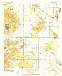
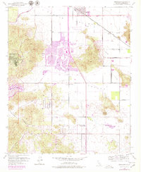
1953 Map of Romoland
USGS Topo · Published 1954About this map
The broad desert basins of Perris Valley and Menifee Valley define this mid-century landscape, where agricultural land use transitions into early recreation and residential clusters. Small centers like Romoland and Menifee serve as the primary hubs, connected by the Atchison Topeka and Santa Fe railroad, which includes the Ethanac Siding near the San Jacinto River. To the west, the Quail Valley Country Club represents a growing focus on leisure during the 1950s, while the southern reaches of the map near Paloma Valley remain more rural and industrially focused.
Find a feature on this map
31 named features on this map. Tap any name to fly to it.
Don’t see what you’re looking for? This feature index may not catch every label — zoom into the map to look around manually.
Map Details
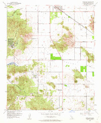
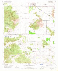
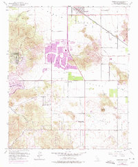
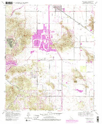
Editions of this 1953 Romoland Map
6 editions found
Other maps of this area

1901 · Southern California Sheet No. 1
USGS Topo · 1:250,000

1901 · Elsinore
USGS Topo · 1:125,000

1901 · Riverside
USGS Topo · 1:62,500

1904 · Southern California Sheet No. 1
USGS Topo · 1:250,000

1942 · Lake Elsinore
USGS Topo · 1:62,500

1942 · Murrieta
USGS Topo · 1:62,500

1942 · Riverside
USGS Topo · 1:62,500

1942 · Perris
USGS Topo · 1:62,500

1943 · Perris
USGS Topo · 1:62,500

1943 · Riverside
USGS Topo · 1:62,500