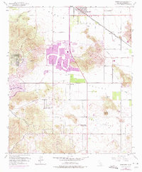
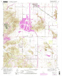
1953 Map of Romoland
USGS Topo · Published 1979About this map
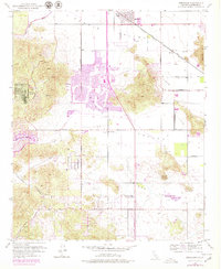
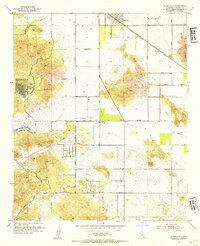
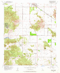
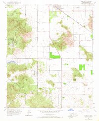
Romoland and the surrounding high desert valleys are documented here during a period of significant mid-century transition. Originally surveyed in 1953 and updated with 1970s revisions, the map illustrates the emergence of planned communities like Sun City and Quail Valley alongside older infrastructure. The Atchison Topeka and Santa Fe railroad corridor serves as a primary axis, passing through Ethanac Siding near the San Jacinto River.
Find a feature on this map
36 named features on this map. Tap any name to fly to it.
Don’t see what you’re looking for? This feature index may not catch every label — zoom into the map to look around manually.
Map Details
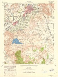
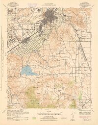
Editions of this 1953 Romoland Map
6 editions found
Other maps of this area

1901 · Southern California Sheet No. 1
USGS Topo · 1:250,000

1901 · Elsinore
USGS Topo · 1:125,000

1901 · Riverside
USGS Topo · 1:62,500

1904 · Southern California Sheet No. 1
USGS Topo · 1:250,000

1942 · Lake Elsinore
USGS Topo · 1:62,500

1942 · Murrieta
USGS Topo · 1:62,500
1942 · Riverside
USGS Topo · 1:62,500

1942 · Perris
USGS Topo · 1:62,500

1943 · Perris
USGS Topo · 1:62,500
1943 · Riverside
USGS Topo · 1:62,500