
1942 Map of Riverside
USGS Topo · Published 1959About this map
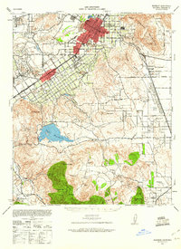
The Santa Ana River snakes past West Riverside in a landscape defined by intensive irrigation and military expansion during the early 1940s. The map captures a critical transition for the region, showing the Sherman Institute and La Sierra College alongside a dense grid of orange groves and water infrastructure like Arlington Water Plant No 2. Further south, the massive footprint of Camp Haan and the expansive Lake Mathews reservoir illustrate the region's role in supporting wartime personnel and the burgeoning water needs of Southern California.
Find a feature on this map
51 named features on this map. Tap any name to fly to it.
Don’t see what you’re looking for? This feature index may not catch every label — zoom into the map to look around manually.
Map Details
Editions of this 1942 Riverside Map
2 editions found
Other maps of this area

1896 · San Bernardino
USGS Topo · 1:62,500

1897 · Cucamonga
USGS Topo · 1:62,500

1898 · San Bernardino
USGS Topo · 1:62,500

1899 · Redlands
USGS Topo · 1:62,500

1900 · Cucamonga
USGS Topo · 1:62,500

1901 · Southern California Sheet No. 1
USGS Topo · 1:250,000

1901 · San Bernardino
USGS Topo · 1:62,500

1901 · Redlands
USGS Topo · 1:62,500

1901 · Elsinore
USGS Topo · 1:125,000

1901 · Riverside
USGS Topo · 1:62,500