
1901 Map of Redlands
USGS Topo · Published 1901About this map
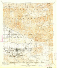
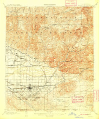
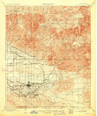
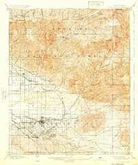
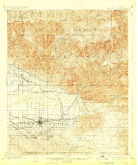
The San Bernardino Forest Reserve dominates the northern half of this 1901 survey, revealing a landscape defined by timber, water management, and early tourism. High-altitude points such as Strawberry Peak and Heaps Peak overlook early mountain retreats like the Squirrel Inn and Guernseys Mill. To the south, the citrus-growing empire of Redlands and San Bernardino is in full development, supported by an intricate network of irrigation channels including the Highlands Ditch, Old North Fork Ditch, and the Zanja. The map details a sophisticated late-Victorian infrastructure where the Southern Pacific RR. and the San Bernardino Motor Line connect growing residential areas like Smiley Heights and Bryn Mawr to the industrial and agricultural core. Distinctive features like the Asylum at Patton and the waters of Harlem Springs mark the transition from the arid Santa Ana Wash to established valley settlements.
Find a feature on this map
83 named features on this map. Tap any name to fly to it.
Don’t see what you’re looking for? This feature index may not catch every label — zoom into the map to look around manually.
Map Details
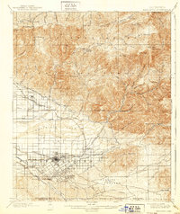
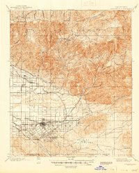
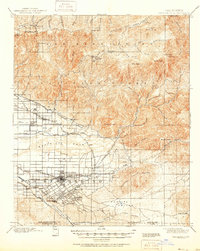
Editions of this 1901 Redlands Map
9 editions found
Other maps of this area

1896 · San Bernardino
USGS Topo · 1:62,500

1898 · San Bernardino
USGS Topo · 1:62,500

1899 · Redlands
USGS Topo · 1:62,500

1901 · Southern California Sheet No. 1
USGS Topo · 1:250,000

1901 · San Jacinto
USGS Topo · 1:125,000

1901 · San Bernardino
USGS Topo · 1:62,500

1901 · Elsinore
USGS Topo · 1:125,000

1901 · Riverside
USGS Topo · 1:62,500

1902 · Deep Creek
USGS Topo · 1:62,500

1902 · Hesperia
USGS Topo · 1:62,500