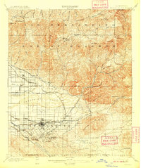
1901 Map of Redlands
USGS Topo · Published 1909About this map
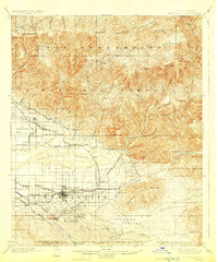
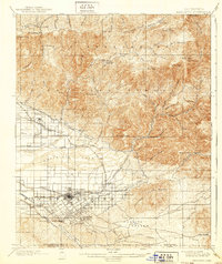
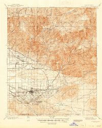
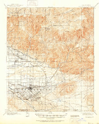
The town of Redlands serves as the focal point of this Inland Empire study, appearing at a pivotal moment of citrus-driven growth and irrigation development. The landscape is defined by the contrast between the organized grid of the valley and the wilderness of the San Bernardino Forest Reserve to the north. Extensive water management is visible through the North Fork Ditch, East Highlands Ditch, and the Redlands Canal, which draw from the Santa Ana River to support the local economy.
Find a feature on this map
83 named features on this map. Tap any name to fly to it.
Don’t see what you’re looking for? This feature index may not catch every label — zoom into the map to look around manually.
Map Details
Editions of this 1901 Redlands Map
9 editions found
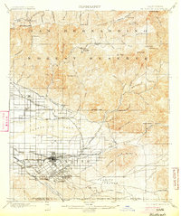
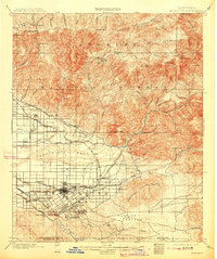
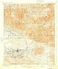
Other maps of this area

1896 · San Bernardino
USGS Topo · 1:62,500

1898 · San Bernardino
USGS Topo · 1:62,500

1899 · Redlands
USGS Topo · 1:62,500

1901 · Southern California Sheet No. 1
USGS Topo · 1:250,000

1901 · San Jacinto
USGS Topo · 1:125,000

1901 · San Bernardino
USGS Topo · 1:62,500

1901 · Redlands
USGS Topo · 1:62,500

1901 · Elsinore
USGS Topo · 1:125,000

1901 · Riverside
USGS Topo · 1:62,500

1902 · Deep Creek
USGS Topo · 1:62,500