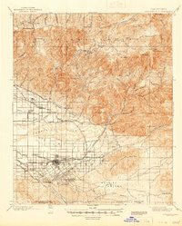
1901 Map of Redlands
USGS Topo · Published 1946About this map
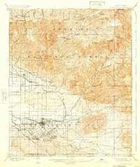
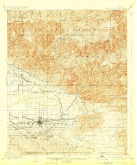
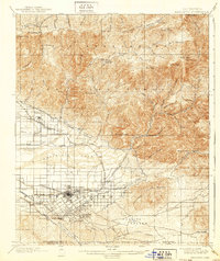
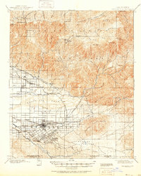
Redlands and its surrounding citrus-growing landscapes are captured at a pivotal moment of development, where the agricultural grid meets the steep slopes of the San Bernardino National Forest. This late 19th-century survey highlights an intricate water management system essential for the region's burgeoning orchards, including the Redlands Canal, the Zanja, and the Highlands Division ditch. Transportation networks are dominated by the Southern Pacific and the San Bernardino Valley railroads, which linked local hubs like Mentone and Crafton to broader markets. In the higher elevations, the map reveals a different economy of timber and early tourism, featuring remote outposts such as Guernseys Mill, Squirrel Inn, and Fredalba. This intersection of gravity-fed irrigation, mountain resource extraction, and rail-based commerce defines the era's footprint on the valley floor and the Crafton Hills.
Find a feature on this map
83 named features on this map. Tap any name to fly to it.
Don’t see what you’re looking for? This feature index may not catch every label — zoom into the map to look around manually.
Map Details
Editions of this 1901 Redlands Map
9 editions found
Other maps of this area

1896 · San Bernardino
USGS Topo · 1:62,500

1898 · San Bernardino
USGS Topo · 1:62,500

1899 · Redlands
USGS Topo · 1:62,500

1901 · Southern California Sheet No. 1
USGS Topo · 1:250,000

1901 · San Jacinto
USGS Topo · 1:125,000

1901 · San Bernardino
USGS Topo · 1:62,500

1901 · Redlands
USGS Topo · 1:62,500

1901 · Elsinore
USGS Topo · 1:125,000

1901 · Riverside
USGS Topo · 1:62,500

1902 · Deep Creek
USGS Topo · 1:62,500