
1902 Map of Deep Creek
USGS Topo · Published 1902About this map
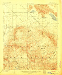
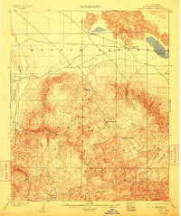
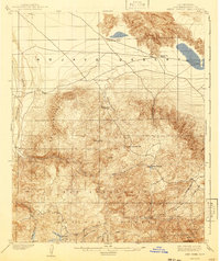
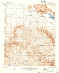
San Bernardino Forest Reserve dominates the southern landscape of this 1898-1899 survey, where the high-altitude terrain transitions sharply into the Mohave Desert to the north. Early industry and settlement are sparse but significant, marked by a lone Saw Mill in the southern mountains and the Coxey Ranch nestled near Deep Creek. This era of the San Bernardino Mountains shows the watershed before major modernization, featuring the natural catchments of Little Bear Valley and Grass Valley Creek.
Find a feature on this map
31 named features on this map. Tap any name to fly to it.
Don’t see what you’re looking for? This feature index may not catch every label — zoom into the map to look around manually.
Map Details
Editions of this 1902 Deep Creek Map
7 editions found
Other maps of this area

1896 · San Bernardino
USGS Topo · 1:62,500

1898 · San Bernardino
USGS Topo · 1:62,500

1899 · Redlands
USGS Topo · 1:62,500

1901 · Southern California Sheet No. 1
USGS Topo · 1:250,000

1901 · San Bernardino
USGS Topo · 1:62,500

1901 · Redlands
USGS Topo · 1:62,500

1902 · Hesperia
USGS Topo · 1:62,500

1902 · San Gorgonio
USGS Topo · 1:125,000

1904 · Southern California Sheet No. 1
USGS Topo · 1:250,000

1932 · Barstow
USGS Topo · 1:125,000