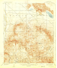
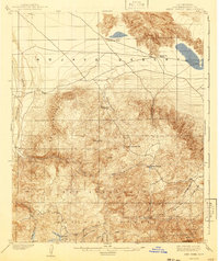
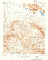
1902 Map of Deep Creek
USGS Topo · Published 1925About this map
Mohave River drainage and the transition from the high desert to the mountain forests of the San Bernardino National Forest define this 1902 survey. At the turn of the century, the landscape reflects an early resource-based economy, with a Sawmill located in the southwestern corner near Little Bear Valley and Grass Valley. These mountain meadows and high-altitude flats, such as Little Pine Flat and Big Pine Flat, served as critical grazing and timberlands before the widespread development of the region's water systems.
Find a feature on this map
29 named features on this map. Tap any name to fly to it.
Don’t see what you’re looking for? This feature index may not catch every label — zoom into the map to look around manually.
Map Details
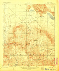
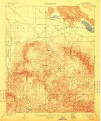
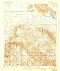
Editions of this 1902 Deep Creek Map
7 editions found
Other maps of this area

1896 · San Bernardino
USGS Topo · 1:62,500

1898 · San Bernardino
USGS Topo · 1:62,500

1899 · Redlands
USGS Topo · 1:62,500

1901 · Southern California Sheet No. 1
USGS Topo · 1:250,000

1901 · San Bernardino
USGS Topo · 1:62,500

1901 · Redlands
USGS Topo · 1:62,500

1902 · Deep Creek
USGS Topo · 1:62,500

1902 · Hesperia
USGS Topo · 1:62,500

1902 · San Gorgonio
USGS Topo · 1:125,000

1904 · Southern California Sheet No. 1
USGS Topo · 1:250,000