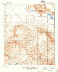
1902 Map of Deep Creek
USGS Topo · Published 1947About this map
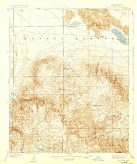
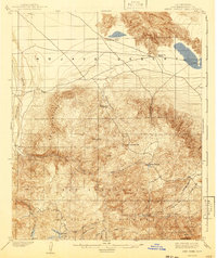
The transition from the Mojave Desert into the northern reaches of the San Bernardino National Forest is documented in this 1890s survey. The landscape is defined by the sharp rise of the Ord Mountains and the winding course of the Mojave River as it enters the arid basin. Within the forested highlands, early development is sparse but notable, centered around water sources and timber resources. The presence of a Sawmill near Little Bear Valley—the area that would later be known as Lake Arrowhead—highlights the early industry of the San Bernardino Mountains. Numerous creeks such as Deep Creek and Holcomb Creek flow through the canyons, while isolated landmarks like Coxey Ranch provide evidence of early high-country settlement. High-altitude points including Butler Peak and Crafts Peak anchor the southern boundary of the quadrangle.
Find a feature on this map
32 named features on this map. Tap any name to fly to it.
Don’t see what you’re looking for? This feature index may not catch every label — zoom into the map to look around manually.
Map Details
Editions of this 1902 Deep Creek Map
7 editions found
Other maps of this area

1896 · San Bernardino
USGS Topo · 1:62,500

1898 · San Bernardino
USGS Topo · 1:62,500

1899 · Redlands
USGS Topo · 1:62,500

1901 · Southern California Sheet No. 1
USGS Topo · 1:250,000

1901 · San Bernardino
USGS Topo · 1:62,500

1901 · Redlands
USGS Topo · 1:62,500

1902 · Deep Creek
USGS Topo · 1:62,500

1902 · Hesperia
USGS Topo · 1:62,500

1902 · San Gorgonio
USGS Topo · 1:125,000

1904 · Southern California Sheet No. 1
USGS Topo · 1:250,000