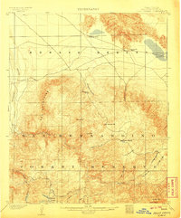
1902 Map of Deep Creek
USGS Topo · Published 1906About this map
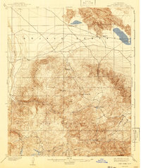
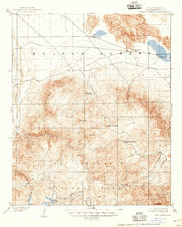
The San Bernardino Forest Reserve dominates this turn-of-the-century landscape, capturing a time before modern water management reshaped the region's hydrography. The map shows the transition from the arid expanse of the Mohave Desert into the mountain peaks and timbered valleys. At lower elevations, the Mohave River and landmarks like Deadman Point indicate the desert's edge, while higher elevations reveal early industrial activity at the Sawmill in Grass Valley. Remote settlements and agricultural outposts like Coxey Ranch are documented alongside natural landmarks such as Rock Springs and Little Bear Valley, providing a detailed view of San Bernardino County's pioneer-era development. The drainage network, featuring Deep Creek and Holcomb Creek, illustrates the complex watershed that would later become central to Southern California's water infrastructure.
Find a feature on this map
30 named features on this map. Tap any name to fly to it.
Don’t see what you’re looking for? This feature index may not catch every label — zoom into the map to look around manually.
Map Details
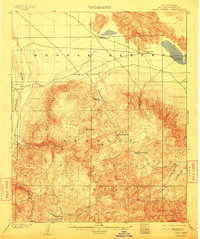
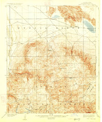
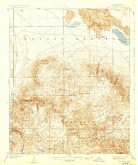
Editions of this 1902 Deep Creek Map
7 editions found
Other maps of this area

1896 · San Bernardino
USGS Topo · 1:62,500

1898 · San Bernardino
USGS Topo · 1:62,500

1899 · Redlands
USGS Topo · 1:62,500

1901 · Southern California Sheet No. 1
USGS Topo · 1:250,000

1901 · San Bernardino
USGS Topo · 1:62,500

1901 · Redlands
USGS Topo · 1:62,500

1902 · Deep Creek
USGS Topo · 1:62,500

1902 · Hesperia
USGS Topo · 1:62,500

1902 · San Gorgonio
USGS Topo · 1:125,000

1904 · Southern California Sheet No. 1
USGS Topo · 1:250,000