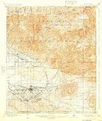
1901 Map of Redlands
USGS Topo · Published 1924About this map
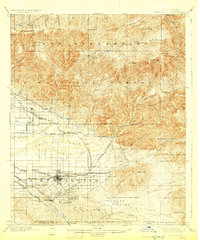
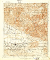
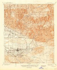
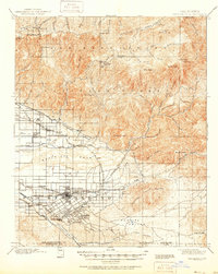
Redlands and the surrounding citrus-growing district of the San Bernardino Base Line are captured during a period of rapid agricultural and institutional development. The map details an extensive network of water infrastructure, including the Old North Fork Ditch and the Redlands Line, which were essential for transforming the Santa Ana River wash into productive groves. Beyond the downtown grid, the landscape transitions into the Angelles National Forest, where high-altitude landmarks like Harrison Mt. and Strawberry Peak dominate. Local institutions such as the Asylum at Patton and leisure spots like Squirrel Inn and Smiley Heights reflect the area's diverse early 20th-century character. Significant transportation routes like the Southern California Motor Line and the S. P. R. R. illustrate the connectivity between these growing mountain and valley communities.
Find a feature on this map
93 named features on this map. Tap any name to fly to it.
Don’t see what you’re looking for? This feature index may not catch every label — zoom into the map to look around manually.
Map Details
Editions of this 1901 Redlands Map
9 editions found
Other maps of this area

1896 · San Bernardino
USGS Topo · 1:62,500

1898 · San Bernardino
USGS Topo · 1:62,500

1899 · Redlands
USGS Topo · 1:62,500

1901 · Southern California Sheet No. 1
USGS Topo · 1:250,000

1901 · San Jacinto
USGS Topo · 1:125,000

1901 · San Bernardino
USGS Topo · 1:62,500

1901 · Redlands
USGS Topo · 1:62,500

1901 · Elsinore
USGS Topo · 1:125,000

1901 · Riverside
USGS Topo · 1:62,500

1902 · Deep Creek
USGS Topo · 1:62,500