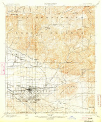
1901 Map of Redlands
USGS Topo · Published 1904About this map
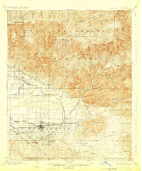
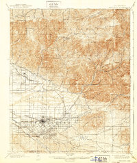
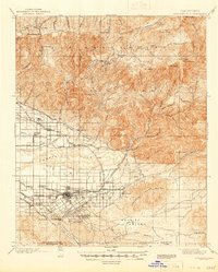
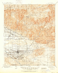
Redlands serves as the focal point of this late-Victorian era survey, showing the city's early development alongside the complex irrigation systems essential for its famous citrus groves. The map reveals a sophisticated network of water infrastructure, including the Santa Ana Canal, Redlands Canal, and the Mill Creek Zanja, which diverted water from the Santa Ana Wash to the burgeoning settlements. To the north, the San Bernardino Forest Reserve encompasses a high-altitude landscape of peaks and early resorts like Squirrel Inn and Strawberry Flat. This era was defined by the intersection of mountain timber and lowland agriculture, connected by gravity-defying flumes and ditches. Rail transit was equally vital, with the Southern California and San Bernardino Motor Line providing critical links between the valley and the Redlands Junction, while the Highlands Division served the northern foothills.
Find a feature on this map
87 named features on this map. Tap any name to fly to it.
Don’t see what you’re looking for? This feature index may not catch every label — zoom into the map to look around manually.
Map Details
Editions of this 1901 Redlands Map
9 editions found
Other maps of this area

1896 · San Bernardino
USGS Topo · 1:62,500

1898 · San Bernardino
USGS Topo · 1:62,500

1899 · Redlands
USGS Topo · 1:62,500

1901 · Southern California Sheet No. 1
USGS Topo · 1:250,000

1901 · San Jacinto
USGS Topo · 1:125,000

1901 · San Bernardino
USGS Topo · 1:62,500

1901 · Redlands
USGS Topo · 1:62,500

1901 · Elsinore
USGS Topo · 1:125,000

1901 · Riverside
USGS Topo · 1:62,500

1902 · Deep Creek
USGS Topo · 1:62,500