
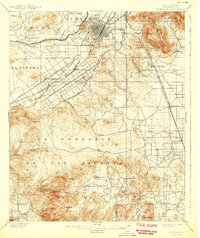
1901 Map of Riverside
USGS Topo · Published 1901About this map
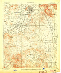
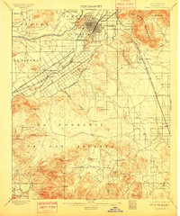
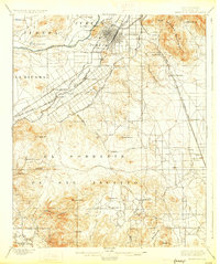
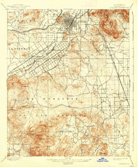
Riverside's early development is defined here by the extensive irrigation networks of the Riverside Canal and Gage Canal, which turned the arid landscape into a burgeoning agricultural center. The city's grid is firmly established at the base of Rubidoux Mt., while the surrounding territory is a mix of ranching lands like Jurupa (Stearns) and La Sierra. To the south, the industrial character shifts from citrus groves to mineral extraction at the Cajalco Tin Mine and the Gavilan Mine in the uplands of The Gavilan. Transportation corridors are already well-defined, with Magnolia Avenue and Victoria Avenue serving as primary thoroughfares alongside the Southern Pacific RR and the Southern California RR. This survey illustrates the precise moment when water infrastructure and rail access began to transform the high desert into an organized citrus empire.
Find a feature on this map
55 named features on this map. Tap any name to fly to it.
Don’t see what you’re looking for? This feature index may not catch every label — zoom into the map to look around manually.
Map Details
Editions of this 1901 Riverside Map
6 editions found
Other maps of this area

1896 · San Bernardino
USGS Topo · 1:62,500

1897 · Cucamonga
USGS Topo · 1:62,500

1898 · San Bernardino
USGS Topo · 1:62,500

1899 · Redlands
USGS Topo · 1:62,500

1900 · Cucamonga
USGS Topo · 1:62,500

1901 · Southern California Sheet No. 1
USGS Topo · 1:250,000

1901 · San Bernardino
USGS Topo · 1:62,500

1901 · Redlands
USGS Topo · 1:62,500

1901 · Elsinore
USGS Topo · 1:125,000

1902 · Corona
USGS Topo · 1:125,000