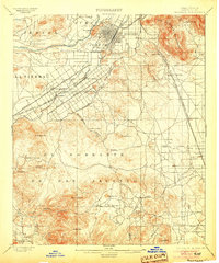
1901 Map of Riverside
USGS Topo · Published 1905About this map
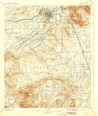
Riverside serves as the focal point for this late-Victorian era survey, illustrating the complex irrigation and transportation infrastructure that supported the region's citrus and mining industries. The map traces the vital courses of the Riverside Canal and Gage Canal, which transformed the arid landscape near Arlington and Casa Blanca. Further south, the terrain shifts into the uplands of El Sobrante De San Jacinto, where resource extraction is evident at the Cajalco Tin Mine and Gavilan Mine.
Find a feature on this map
55 named features on this map. Tap any name to fly to it.
Don’t see what you’re looking for? This feature index may not catch every label — zoom into the map to look around manually.
Map Details
Editions of this 1901 Riverside Map
6 editions found
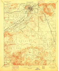
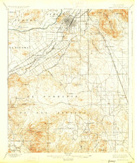
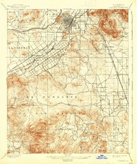
Other maps of this area

1896 · San Bernardino
USGS Topo · 1:62,500

1897 · Cucamonga
USGS Topo · 1:62,500

1898 · San Bernardino
USGS Topo · 1:62,500

1899 · Redlands
USGS Topo · 1:62,500

1900 · Cucamonga
USGS Topo · 1:62,500

1901 · Southern California Sheet No. 1
USGS Topo · 1:250,000

1901 · San Bernardino
USGS Topo · 1:62,500

1901 · Redlands
USGS Topo · 1:62,500

1901 · Elsinore
USGS Topo · 1:125,000

1901 · Riverside
USGS Topo · 1:62,500