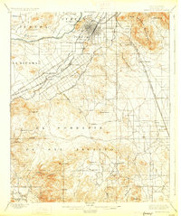
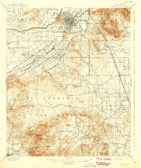
1901 Map of Riverside
USGS Topo · Published 1927About this map
The citrus-growing heart of Southern California is captured here just before the turn of the century, defined by the irrigation networks of the Riverside Canal and Gage Canal. The city of Riverside is established as a structured grid below Rubidoux Mt., while the southern landscape remains dominated by the land grants of El Sobrante De San Jacinto. Transportation is anchored by the Southern Pacific R. R. and the Southern California R. R. (San Bernardino and San Diego Line), which connect nascent settlements like Arlington and Casa Blanca to the wider region.
Find a feature on this map
57 named features on this map. Tap any name to fly to it.
Don’t see what you’re looking for? This feature index may not catch every label — zoom into the map to look around manually.
Map Details
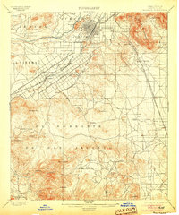
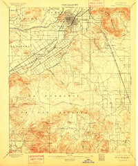
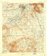
Editions of this 1901 Riverside Map
6 editions found
Other maps of this area

1896 · San Bernardino
USGS Topo · 1:62,500

1897 · Cucamonga
USGS Topo · 1:62,500

1898 · San Bernardino
USGS Topo · 1:62,500

1899 · Redlands
USGS Topo · 1:62,500

1900 · Cucamonga
USGS Topo · 1:62,500

1901 · Southern California Sheet No. 1
USGS Topo · 1:250,000

1901 · San Bernardino
USGS Topo · 1:62,500

1901 · Redlands
USGS Topo · 1:62,500

1901 · Elsinore
USGS Topo · 1:125,000

1901 · Riverside
USGS Topo · 1:62,500