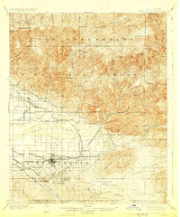
1901 Map of Redlands
USGS Topo · Published 1929About this map
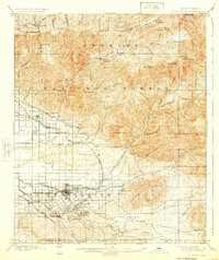
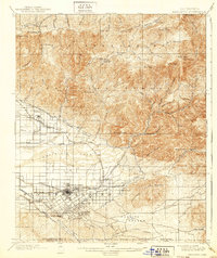
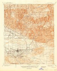
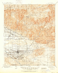
The agricultural and transit hub of Redlands centers this 1890s survey, illustrating the extensive water-management systems required for the citrus-growing region at the foot of the San Bernardino National Forest. The map traces a complex network of irrigation, including the North Fork Ditch, Ana Canal, and the Mill Creek Zanja, which follow the contours of the Santa Ana Wash. These engineering works transformed the alluvial plains into productive groves, supporting settlements like Mentone, Craftonville, and Bryn Mawr.
Find a feature on this map
83 named features on this map. Tap any name to fly to it.
Don’t see what you’re looking for? This feature index may not catch every label — zoom into the map to look around manually.
Map Details
Editions of this 1901 Redlands Map
9 editions found
Other maps of this area

1896 · San Bernardino
USGS Topo · 1:62,500

1898 · San Bernardino
USGS Topo · 1:62,500

1899 · Redlands
USGS Topo · 1:62,500

1901 · Southern California Sheet No. 1
USGS Topo · 1:250,000

1901 · San Jacinto
USGS Topo · 1:125,000

1901 · San Bernardino
USGS Topo · 1:62,500

1901 · Redlands
USGS Topo · 1:62,500

1901 · Elsinore
USGS Topo · 1:125,000

1901 · Riverside
USGS Topo · 1:62,500

1902 · Deep Creek
USGS Topo · 1:62,500