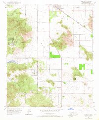
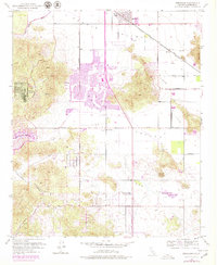
1953 Map of Romoland
USGS Topo · Published 1968About this map
Menifee Valley and the Perris Valley form the heart of this mid-century landscape, where agricultural expanses are punctuated by early suburban development and the tracks of the Atchison Topeka and Santa Fe railroad. The settlement at Romoland and the community of Menifee serve as the primary hubs, with social life centered around the Menifee-Antelope Community Hall and the rural Menifee Sch.
Find a feature on this map
34 named features on this map. Tap any name to fly to it.
Don’t see what you’re looking for? This feature index may not catch every label — zoom into the map to look around manually.
Map Details
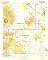
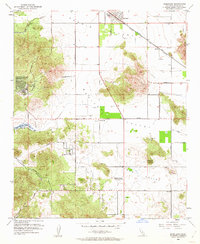
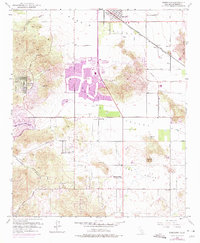
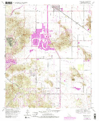
Editions of this 1953 Romoland Map
6 editions found
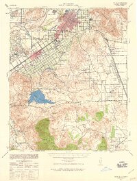
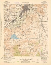
Other maps of this area

1901 · Southern California Sheet No. 1
USGS Topo · 1:250,000

1901 · Elsinore
USGS Topo · 1:125,000

1901 · Riverside
USGS Topo · 1:62,500

1904 · Southern California Sheet No. 1
USGS Topo · 1:250,000

1942 · Lake Elsinore
USGS Topo · 1:62,500

1942 · Murrieta
USGS Topo · 1:62,500
1942 · Riverside
USGS Topo · 1:62,500

1942 · Perris
USGS Topo · 1:62,500

1943 · Perris
USGS Topo · 1:62,500
1943 · Riverside
USGS Topo · 1:62,500