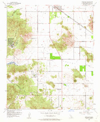
1953 Map of Romoland
USGS Topo · Published 1962About this map
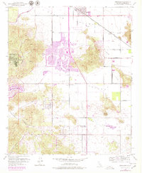
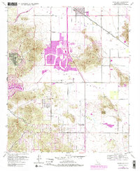
Menifee Valley and the surrounding basins are captured here during a period of transition, where established ranching and agricultural operations began to define the modern landscape of Riverside County. The settlement of Romoland serves as a primary hub along the Atchison Topeka and Santa Fe Railroad, supported by the Ethanac Siding. Local community life is anchored by the Menifee Sch and the Menifee-Antelope Community Hall, reflecting the decentralized social structure of the early 1950s.
Find a feature on this map
30 named features on this map. Tap any name to fly to it.
Don’t see what you’re looking for? This feature index may not catch every label — zoom into the map to look around manually.
Map Details
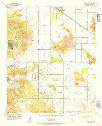
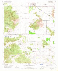
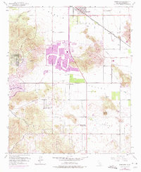
Editions of this 1953 Romoland Map
6 editions found
Other maps of this area

1901 · Southern California Sheet No. 1
USGS Topo · 1:250,000

1901 · Elsinore
USGS Topo · 1:125,000

1901 · Riverside
USGS Topo · 1:62,500

1904 · Southern California Sheet No. 1
USGS Topo · 1:250,000

1942 · Lake Elsinore
USGS Topo · 1:62,500

1942 · Murrieta
USGS Topo · 1:62,500

1942 · Riverside
USGS Topo · 1:62,500

1942 · Perris
USGS Topo · 1:62,500

1943 · Perris
USGS Topo · 1:62,500

1943 · Riverside
USGS Topo · 1:62,500