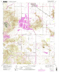
1953 Map of Romoland
USGS Topo · Published 1985About this map
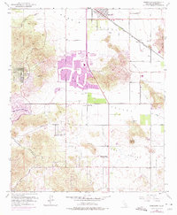
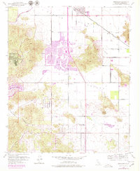
Perris Valley and Menifee Valley define this mid-century landscape as it transitioned from traditional rural outposts to planned suburban developments. The presence of Sun City and Quail Valley highlights the post-war growth of retirement and recreational communities, complete with a Golf Course and the Quail Valley Country Club. This residential expansion is juxtaposed against the area's older agricultural and industrial roots, seen in the path of the Atchison Topeka and Santa Fe Railroad and the Ethanac Siding.
Find a feature on this map
37 named features on this map. Tap any name to fly to it.
Don’t see what you’re looking for? This feature index may not catch every label — zoom into the map to look around manually.
Map Details
Editions of this 1953 Romoland Map
6 editions found
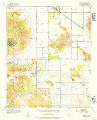
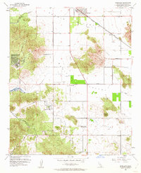
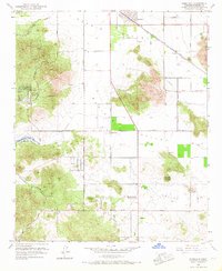
Other maps of this area

1901 · Southern California Sheet No. 1
USGS Topo · 1:250,000

1901 · Elsinore
USGS Topo · 1:125,000

1901 · Riverside
USGS Topo · 1:62,500

1904 · Southern California Sheet No. 1
USGS Topo · 1:250,000

1942 · Lake Elsinore
USGS Topo · 1:62,500

1942 · Murrieta
USGS Topo · 1:62,500

1942 · Riverside
USGS Topo · 1:62,500

1942 · Perris
USGS Topo · 1:62,500

1943 · Perris
USGS Topo · 1:62,500

1943 · Riverside
USGS Topo · 1:62,500