1900s (20th Century) Maps of Citrus Heights, California
Explore 18 historic maps of Citrus Heights from the 1900s (20th Century). These maps offer a rare glimpse into what life looked like during the 1900s — showing old roads, neighborhoods, homes, and landmarks that have changed or disappeared over time.
Whether you're researching your family's past, planning a metal detecting trip, or studying how Citrus Heights's landscape evolved across the 1900s, these high-resolution maps are a powerful tool for exploring the history of this region.
- Focus on a specific era: All maps on this page are from the 1900s, giving you a focused view of this time period.
- See what’s changed: Compare century-old streets, trails, and buildings to today's modern landscape using overlays and satellite layers.
- Research with precision: Use these maps for genealogy, historical research, land use analysis, or educational projects.
- View, download, or print: Maps are fully viewable online in high resolution, and can be downloaded or printed for your own records.
Start exploring Citrus Heights's history through authentic maps from the 1900s. This is your window into the past.
Citrus Heights, CA maps
(18)- 1902 Map of Fairoaks
 1902 Fairoaks1902 Print · USGSSacramento and its surrounding ranchlands were undergoing a rapid rail-driven transformation at the start of the century. You can trace the early street grids of Oak Park and Highland Park or locate vanished stops like Twelvemile House and Walsh Station.2 unique versions available
 - 1911 Map of Antelope
 1911 Antelope1911 Print · USGSThe Placer and Sacramento county borderlands are captured here just after the turn of the century, centered on the growing rail hub at Roseville. Genealogists and local historians can trace early school districts at Sylvan and San Juan, and locate the historic Twelvemile House along the Auburn Road.
 - 1914 Map of Folsom
 1914 Folsom1914 Print · USGSThe American River gold country comes alive in this early century survey of the region surrounding Folsom. Researchers can trace the path of the Placerville Branch railroad or locate early industrial sites like the Power House and a large river Dredge.2 unique versions available
 - 1941 Map of Folsom, 1957 Print
 1941 Folsom1957 Print · USGSThe foothills of the Sierra Nevada meet the Central Valley in the early 1940s, showing the river and rail corridors before major reservoirs were built. Researchers can trace the original tracks of the Southern Pacific and locate historic rural hubs like Natoma, Clarksville, and Mormon Island Sch.2 unique versions available
 - 1944 Map of Folsom
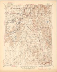 1944 Folsom1944 Print · USGSThe American River region around Folsom thrives in the early 1940s, marked by dredging bars and early rail transport before major reservoirs transformed the valley. Researchers can find many schoolhouses like Mormon Island Sch and landmarks such as the State Prison Represa.2 unique versions available
 - 1947 Map of Sacramento, 1948 Print
 1947 Sacramento1948 Print · USGSThe Sacramento Valley meets the high Sierra during a period of post-war expansion. Trace the historic river delta islands like Grand Island or locate early airfield footprints at McClellan Air Force Base and Mather Air Force Base.2 unique versions available
 - 1948 Map of Sacramento, 1951 Print
 1948 Sacramento1951 Print · USGSPost-war Northern California comes alive in this regional survey, capturing the era of expansion between the Central Valley and the High Sierra. Researchers can trace the rail networks of the Central California Traction and Sacramento Northern RR or locate landmarks like the State Capitol and University of California Davis.
 - 1951 Map of Citrus Heights, 1952 Print
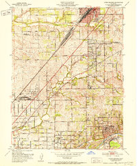 1951 Citrus Heights1952 Print · USGSNortheast of Sacramento in the early fifties, the landscape was quickly evolving from agricultural ranch lands into bustling suburbs. Genealogists and historians can trace the foundations of Citrus Heights through its early schools like Sylvan Sch and the industrial Dredge Tailings along the American River.3 unique versions available
 - 1954 Map of Folsom, 1955 Print
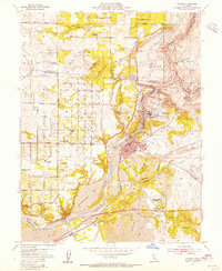 1954 Folsom1955 Print · USGSThe American River region undergoes a massive transformation in the mid-fifties as the new Folsom and Nimbus dams begin to reshape the valley. Genealogists and historians can trace the foundations of Orangevale or find the soon-to-be-submerged Mormon Island (Site) and Prairie City (Site).2 unique versions available
 - 1954 Map of Fair Oaks, 1957 Print
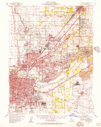 1954 Fair Oaks1957 Print · USGSSacramento and the American River suburbs underwent significant growth during the early Cold War era as military bases and new subdivisions expanded. Genealogists and historians can trace family roots through numerous schools like Grant Union HS, the St Patrick Orphanage, and small communities like Sylvan Corners.2 unique versions available
 - 1956 Map of Sacramento
 1956 Sacramento1956 Print · USGSMid-century California unfolds from the delta to the high Sierra, capturing a landscape of growing valley cities and burgeoning military airbases. Genealogists and historians can trace the rail lines and river towns from Woodland to Lodi, or explore the foothill settlements of Placerville and Jackson.2 unique versions available
 - 1957 Map of Sacramento, 1966 Print
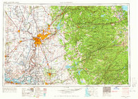 1957 Sacramento1966 Print · USGSIn the mid-twentieth century, the California heartland was a hub of river transport, rail lines, and military airbases. Genealogists and historians can trace the development of Gold Country towns like Angels Camp and Sonora or follow the path of the Southern Pacific RR through the growing suburbs of Sacramento.4 unique versions available
 - 1967 Map of Folsom, 1968 Print
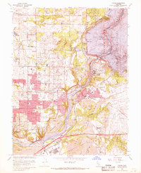 1967 Folsom1968 Print · USGSThe American River corridor was undergoing rapid transformation in the late sixties as suburban growth met industrial history. Researchers can locate Folsom State Prison, trace the old Prairie City (Site), and see the extensive Dredge Tailings left from gold mining days.4 unique versions available
 - 1967 Map of Citrus Heights, 1969 Print
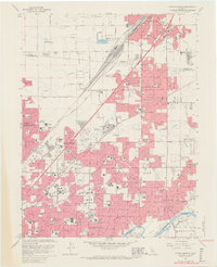 1967 Citrus Heights1969 Print · USGSSuburban development meets the gold-dredged banks of the American River during the late sixties. Genealogists and historians can trace family-named schools and burial grounds like Sylvan Cem, the crossroads at Sylvan Corners, and the burgeoning residential tracts of Foothill Farms.6 unique versions available
 - 1975 Map of Citrus Heights, 1977 Print
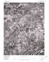 1975 Citrus Heights1977 Print · USGSSacramento's northern suburbs are captured in the mid-seventies just as development began to fill the gaps between historic communities. Genealogists and local historians can trace street-level detail through Citrus Heights, Fair Oaks, and Carmichael.2 unique versions available
 - 1975 Map of Folsom, 1978 Print
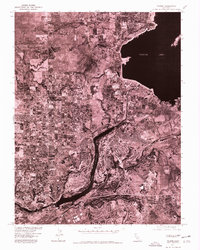 1975 Folsom1978 Print · USGSGreater Sacramento's transition toward modern suburban development is captured in the mid-1970s through this detailed aerial survey. Trace the growth of Folsom and Orangevale alongside the massive engineering of Folsom Lake and Lake Natoma.
 - 1992 Map of Citrus Heights, 1997 Print
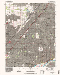 1992 Citrus Heights1997 Print · USGSGreater Sacramento's northeastern suburbs were rapidly maturing in the early nineties, showing a dense grid of neighborhoods between Roseville and the American River. Researchers can trace the perimeter of Mc Clellan Air Force Base and locate local landmarks like American River College and Sylvan Corners.
 - 1994 Map of Sacramento
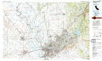 1994 Sacramento1994 Print · USGSThe Sacramento valley was a landscape of massive flood control and military aviation during the mid-nineties. Researchers can trace the complex network of the Yolo Bypass and the Sacramento River alongside McClellan Air Force Base and Zamora.2 unique versions available
End of results
Showing maps 1-18 of 18
Top cities near Citrus Heights
- Sacramento historical maps
- Roseville historical maps
- Folsom historical maps
- Rancho Cordova historical maps
- Rocklin historical maps
- West Sacramento historical maps
See more
Frequently asked questions
- What are the different types of historical maps available for Citrus Heights?
- What is the oldest map of Citrus Heights?
- Where can I purchase historical maps of Citrus Heights for my home or office?
- Where can I download high-res historical maps of Citrus Heights?
- Are there historical topographic maps available for Citrus Heights?
- Is there historical aerial imagery available for Citrus Heights?
- Where are historical maps of Citrus Heights sourced from?