2000s (21st Century) Maps of Rancho Cordova, California
Explore 14 historic maps of Rancho Cordova from the 2000s (21st Century). These maps offer a rare glimpse into what life looked like during the 2000s — showing old roads, neighborhoods, homes, and landmarks that have changed or disappeared over time.
Whether you're researching your family's past, planning a metal detecting trip, or studying how Rancho Cordova's landscape evolved across the 2000s, these high-resolution maps are a powerful tool for exploring the history of this region.
- Focus on a specific era: All maps on this page are from the 2000s, giving you a focused view of this time period.
- See what’s changed: Compare century-old streets, trails, and buildings to today's modern landscape using overlays and satellite layers.
- Research with precision: Use these maps for genealogy, historical research, land use analysis, or educational projects.
- View, download, or print: Maps are fully viewable online in high resolution, and can be downloaded or printed for your own records.
Start exploring Rancho Cordova's history through authentic maps from the 2000s. This is your window into the past.
Rancho Cordova, CA maps
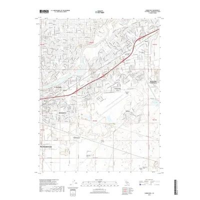
(14)- 2012 Map of Carmichael, 2012 Print
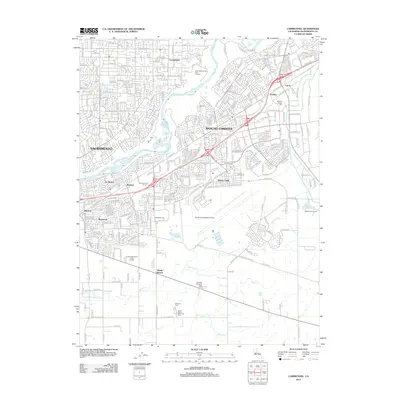 2012 Carmichael2012 Print · USGSCovers Rancho Cordova, including Sacramento, Walsh Station, and other nearby areas
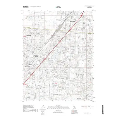
 - 2012 Map of Citrus Heights, 2012 Print
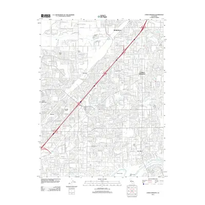 2012 Citrus Heights2012 Print · USGSCovers Rancho Cordova, including Sacramento, Roseville, and other nearby areas
 - 2012 Map of Buffalo Creek, 2012 Print
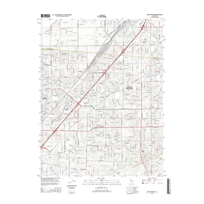
 2012 Buffalo Creek2012 Print · USGSCovers Rancho Cordova, including Folsom, Sacramento County, and other nearby areas
 - 2015 Map of Citrus Heights, 2015 Print
 2015 Citrus Heights2015 Print · USGSCovers Rancho Cordova, including Sacramento, Roseville, and other nearby areas
 - 2015 Map of Carmichael, 2015 Print
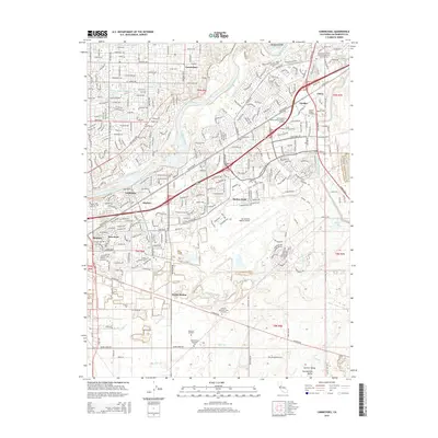 2015 Carmichael2015 Print · USGSCovers Rancho Cordova, including Sacramento, Walsh Station, and other nearby areas
 - 2015 Map of Buffalo Creek, 2015 Print
 2015 Buffalo Creek2015 Print · USGSCovers Rancho Cordova, including Folsom, Sacramento County, and other nearby areas
 - 2018 Map of Buffalo Creek, 2018 Print
 2018 Buffalo Creek2018 Print · USGSCovers Rancho Cordova, including Folsom, Sacramento County, and other nearby areas
 - 2018 Map of Carmichael, 2018 Print
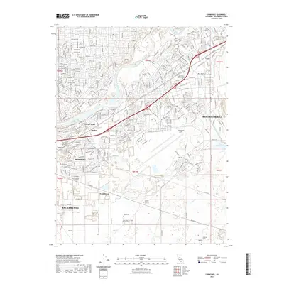
 2018 Carmichael2018 Print · USGSCovers Rancho Cordova, including Sacramento, Walsh Station, and other nearby areas
 - 2018 Map of Citrus Heights, 2018 Print
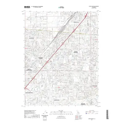
 2018 Citrus Heights2018 Print · USGSCovers Rancho Cordova, including Sacramento, Roseville, and other nearby areas
 - 2021 Map of Citrus Heights, 2021 Print
 2021 Citrus Heights2021 Print · USGSCovers Rancho Cordova, including Sacramento, Roseville, and other nearby areas
 - 2021 Map of Buffalo Creek, 2021 Print
 2021 Buffalo Creek2021 Print · USGSSacramento County’s eastern plains are captured here in the early 2020s, showing the ongoing development between Rancho Cordova and Folsom. Researchers can trace the path of the Folsom South Canal and locate suburban landmarks like Rebel Hill Ditch or Aerojet Rd.
 - 2022 Map of Carmichael, 2022 Print
 2022 Carmichael2022 Print · USGSCovers Rancho Cordova, including Sacramento, Walsh Station, and other nearby areas
 - 2023 Map of Citrus Heights, 2023 Print
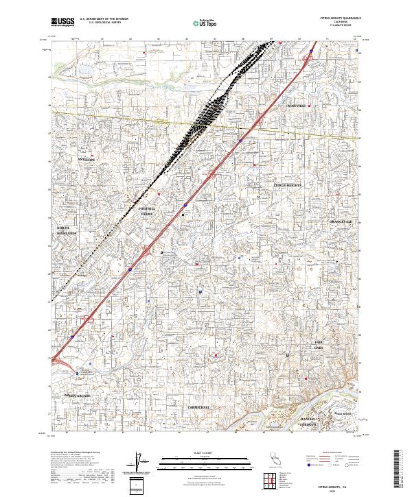 2023 Citrus Heights2023 Print · USGSThe northern Sacramento suburbs come into focus during this contemporary era of growth and preservation. Genealogists can locate family sites near Sylvan Cem or Fair Oaks Cem, while tracking the path of the Southern Pacific RR.
 - 2023 Map of Carmichael, 2023 Print
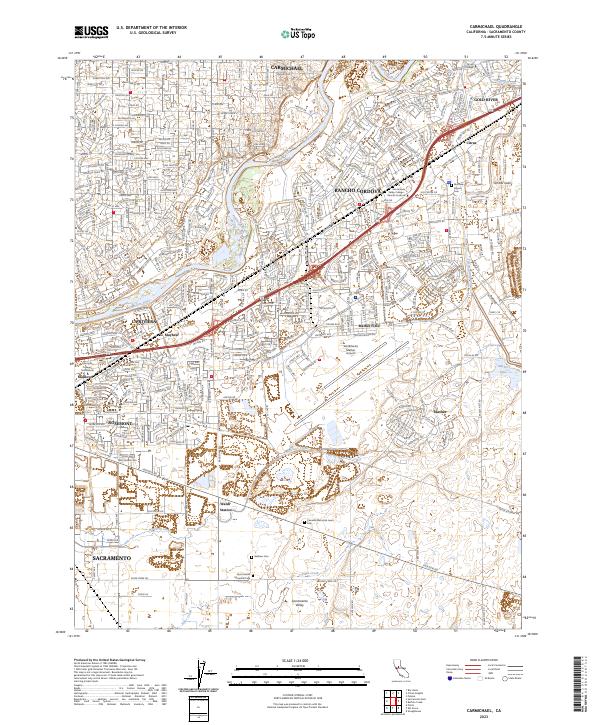 2023 Carmichael2023 Print · USGSEastern Sacramento County in the 2020s reflects a complex urban landscape where historic rail-and-road corridors meet modern aviation hubs. Genealogists and local historians can trace burial grounds like Bellview Cem or explore the geography of Walsh Station and Gold River.
End of results
Showing maps 1-14 of 14
Top cities near Rancho Cordova
- Sacramento historical maps
- Elk Grove historical maps
- Roseville historical maps
- Citrus Heights historical maps
- Folsom historical maps
- Rocklin historical maps
See more
Top neighborhoods of Rancho Cordova
Frequently asked questions
- What are the different types of historical maps available for Rancho Cordova?
- What is the oldest map of Rancho Cordova?
- Where can I purchase historical maps of Rancho Cordova for my home or office?
- Where can I download high-res historical maps of Rancho Cordova?
- Are there historical topographic maps available for Rancho Cordova?
- Is there historical aerial imagery available for Rancho Cordova?
- Where are historical maps of Rancho Cordova sourced from?