Old Maps of Mentone, California
Explore 27 old maps of Mentone, spanning from 1899 to today. These high-resolution historic maps reveal how streets, neighborhoods, landmarks, and natural features evolved over time — perfect for genealogy, metal detecting, research, and local history exploration.
What you can do with these maps:
- See how Mentone changed over time: Compare historical maps to modern-day views to trace roads, homesites, rail lines & more.
- View detailed metadata: Each map includes creators, publishers, year, scale, and archive source.
- Overlay maps with satellite & LiDAR: Visualize the past alongside modern tools to explore terrain & human change.
- Trusted historical sources: Maps sourced from the USGS, Library of Congress, and other archives.
- Access maps your way: View online, download high-res files, or order prints for personal or research use.
Start exploring old maps of Mentone to uncover forgotten places, hidden landmarks, and the deep history beneath your feet.
Mentone, CA maps
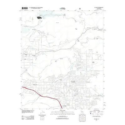
(27)- 1899 Map of Redlands, 1958 Print
 1899 Redlands1958 Print · USGSThe San Bernardino Valley flourished at the end of the century as an irrigation-fed agricultural power. Trace the early citrus economy through Redlands and Mentone, or locate the Asylum at Patton and the mountain retreat at Squirrel Inn.
 - 1901 Map of Southern California Sheet No. 1
 1901 Southern California Sheet No. 11901 Print · USGSGreater Los Angeles at the dawn of the twentieth century is a landscape of growing citrus towns and a burgeoning rail network. Genealogists and historians can trace the early gridded streets of Hollywood and Pasadena or locate landmarks like Bear Lake and the Cahuilla Indian Reservation.6 unique versions available
 - 1901 Map of Redlands
 1901 Redlands1901 Print · USGSRedlands and the San Bernardino valley are seen here at the turn of the century as agriculture and rail networks began to reshape the landscape. Genealogists and historians can trace early irrigation ditches like the Zanja or locate vanished landmarks like the Asylum and Harlem Springs.9 unique versions available
 - 1904 Map of Southern California Sheet No. 1, 1905 Print
 1904 Southern California Sheet No. 11905 Print · USGSSouthern California at the dawn of the twentieth century shows a landscape of citrus groves and coastal towns connected by rail. Genealogists and historians can trace early settlements like San Juan Capistrano, find remote sites like the Rose Mine, and study the original water systems of the Santa Ana River.2 unique versions available
 - 1953 Map of San Bernardino
 1953 San Bernardino1953 Print · USGSSouthern California underwent massive post-war growth as suburban sprawl reached the foothills of the San Bernardino Mountains. Genealogists and historians can trace the rail-and-road roots of the Inland Empire through the Union Pacific RR and Lake Arrowhead resorts.2 unique versions available
 - 1954 Map of Yucaipa, 1955 Print
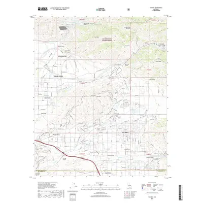
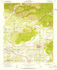 1954 Yucaipa1955 Print · USGSIn the mid-1950s, the citrus groves and mountain foothills of eastern San Bernardino County supported growing communities like Yucaipa and Mentone. Genealogists and historians can trace local landmarks such as Jackson Ranch, Greenleaf School, and the old Southern Pacific rail line.2 unique versions available
 - 1954 Map of Redlands, 1955 Print
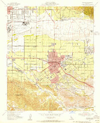 1954 Redlands1955 Print · USGSRedlands and the surrounding citrus groves are captured here in the mid-fifties, just as the region's rail and water networks reached their peak complexity. Genealogists and local historians can trace the foundations of the community through Norton Air Force Base, the University of Redlands, and the San Gabriel Mission Asistencia.2 unique versions available
 - 1954 Map of Redlands, 1960 Print
 1954 Redlands1960 Print · USGSThe Inland Empire is shown at a mid-century peak of citrus production and mountain development. Genealogists can locate family landmarks from Harlem Springs to Yucaipa, including the San Gabriel Mission Asistencia and University of Redlands.3 unique versions available
 - 1956 Map of San Bernardino
 1956 San Bernardino1956 Print · USGSSouthern California's Inland Empire and High Desert come into focus in the mid-fifties as agriculture gives way to suburban and military growth. Trace early rail lines like the Pacific Electric or find remote landmarks like Camp Rock Mine and George AFB.
 - 1957 Map of San Bernardino
 1957 San Bernardino1957 Print · USGSSouthern California's Inland Empire and High Desert met during the postwar expansion of the late fifties. Genealogists and historians can trace the growth of San Bernardino and Redlands alongside remote landmarks like Edwards AFB and the Camp Rock Mine.
 - 1958 Map of San Bernardino, 1975 Print
 1958 San Bernardino1975 Print · USGSSouthern California’s Inland Empire and High Desert come into focus during the mid-century boom, showing the rise of suburbs and massive military installations. Researchers can trace the rail networks of the Union Pacific RR or locate landmarks like Norton AFB and Big Bear Lake.
 - 1959 Map of San Bernardino
 1959 San Bernardino1959 Print · USGSSouthern California underwent a massive transformation in the late fifties as suburban growth and military power reshaped the desert and valley. Researchers can trace the legacy of the Union Pacific Railroad and locate early footprints of Joshua Tree National Monument and Edwards Air Force Base.
 - 1966 Map of San Bernardino
 1966 San Bernardino1966 Print · USGSThe San Bernardino Valley and Mojave Desert met during a period of massive military and suburban growth in the mid-sixties. Genealogists and historians can trace the development of Edwards Air Force Base, old desert mines like the Bagdad Chase Mine, and mountain communities near Big Bear Lake.
 - 1967 Map of Yucaipa, 1968 Print
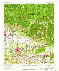
 1967 Yucaipa1968 Print · USGSThe Yucaipa Valley is captured in the late 1960s during a period of rapid suburban expansion near the foothills of the San Bernardino Mountains. Researchers can trace development through old schools like Yucaipa High Sch and landmarks such as the Crafton Hills Airport.4 unique versions available
 - 1967 Map of Redlands, 1969 Print
 1967 Redlands1969 Print · USGSRedlands and its surrounding citrus communities are captured in the late sixties, a period of significant suburban expansion in San Bernardino County. Researchers can trace the layout of Norton Air Force Base, find local landmarks like the University of Redlands, or locate family sites near Harlem Springs and Bryn Mawr.6 unique versions available
 - 1975 Map of Redlands, 1977 Print
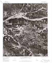 1975 Redlands1977 Print · USGSRedlands and the San Bernardino Valley are documented in the mid-1970s via this detailed orthophotograph survey. Researchers can trace the layout of Norton Air Force Base or follow the natural course of Santa Ana Wash and San Timoteo Canyon.
 - 1982 Map of San Bernardino, 1983 Print
 1982 San Bernardino1983 Print · USGSThe Inland Empire and San Gabriel Valley met at a peak of suburban and industrial expansion in the early eighties. Researchers can trace the massive rail infrastructure through Cajon Pass and locate landmarks like Norton Air Force Base or the Fontana International Raceway.
 - 1996 Map of Yucaipa, 1999 Print
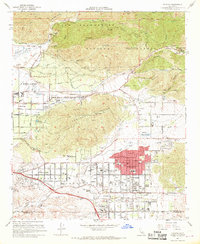
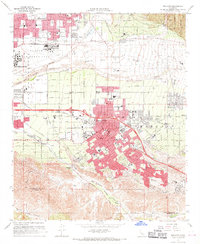
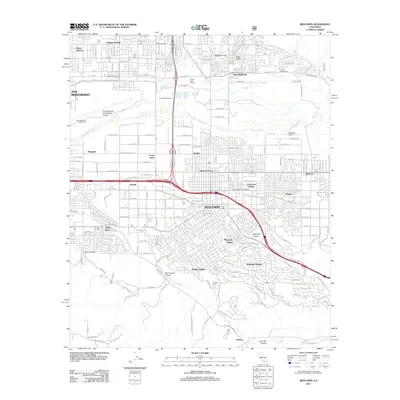
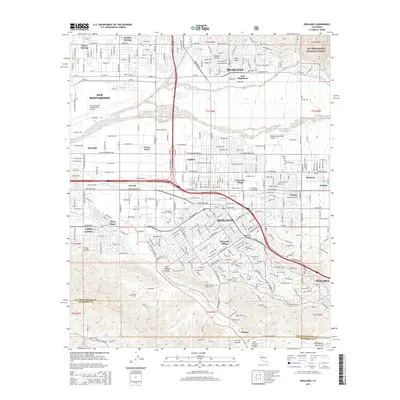
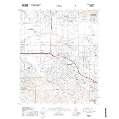
 1996 Yucaipa1999 Print · USGSYucaipa and the Inland Empire's eastern edge are captured here during a period of significant growth in the late nineties. Local researchers can trace residential expansion around Calimesa, the grounds of Crafton Hills College, and landmarks like Morton Peak.
 - 1996 Map of Redlands, 1999 Print
 1996 Redlands1999 Print · USGSThe San Bernardino Valley in the mid-nineties shows a landscape of citrus-era heritage and modern expansion. Genealogists and historians can trace local landmarks from Hillside Cem to the San Bernardino Asistencia and the historic Mission Zanja canal.
 - 2012 Map of Yucaipa, 2012 Print
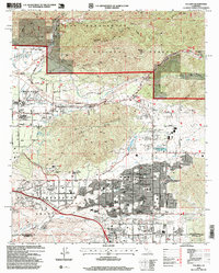
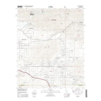
 2012 Yucaipa2012 Print · USGSCovers Mentone, including Redlands, Highland, and other nearby areas
 - 2012 Map of Redlands, 2012 Print
 2012 Redlands2012 Print · USGSCovers Mentone, including Redlands, Highland, and other nearby areas
 - 2015 Map of Redlands, 2015 Print
 2015 Redlands2015 Print · USGSCovers Mentone, including Redlands, Highland, and other nearby areas
 - 2015 Map of Yucaipa, 2015 Print
 2015 Yucaipa2015 Print · USGSCovers Mentone, including Redlands, Highland, and other nearby areas
 - 2018 Map of Yucaipa, 2018 Print
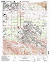
 2018 Yucaipa2018 Print · USGSCovers Mentone, including Redlands, Highland, and other nearby areas
 - 2018 Map of Redlands, 2018 Print
 2018 Redlands2018 Print · USGSCovers Mentone, including Redlands, Highland, and other nearby areas
Showing maps 1-25 of 27
Top cities near Mentone
- Riverside historical maps
- Moreno Valley historical maps
- Redlands historical maps
- Highland historical maps
- Colton historical maps
- Perris historical maps
See more
Top neighborhoods of Mentone
Frequently asked questions
- What are the different types of historical maps available for Mentone?
- What is the oldest map of Mentone?
- Where can I purchase historical maps of Mentone for my home or office?
- Where can I download high-res historical maps of Mentone?
- Are there historical topographic maps available for Mentone?
- Is there historical aerial imagery available for Mentone?
- Where are historical maps of Mentone sourced from?