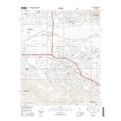
2015 Map of Redlands
USGS Topo · Published 2015About this map
The Santa Ana River cuts a wide course through this inland corridor, separating the urban centers of San Bernardino and Redlands from the high ground of the San Bernardino National Forest to the northeast. This 2015 layout illustrates the dense suburban and industrial evolution of the San Bernardino Valley, where established neighborhoods like Bryn Mawr and Loma Linda sit adjacent to major logistics hubs including the San Bernardino International Airport.
Find a feature on this map
44 named features on this map. Tap any name to fly to it.
Don’t see what you’re looking for? This feature index may not catch every label — zoom into the map to look around manually.
Map Details
Editions of this 2015 Redlands Map
This is the sole edition of this map. No revisions or reprints were ever made.
Other maps of this area

1896 · San Bernardino
USGS Topo · 1:62,500

1898 · San Bernardino
USGS Topo · 1:62,500

1899 · Redlands
USGS Topo · 1:62,500

1901 · Southern California Sheet No. 1
USGS Topo · 1:250,000

1901 · San Bernardino
USGS Topo · 1:62,500

1901 · Redlands
USGS Topo · 1:62,500

1901 · Elsinore
USGS Topo · 1:125,000

1901 · Riverside
USGS Topo · 1:62,500

1904 · Southern California Sheet No. 1
USGS Topo · 1:250,000

1936 · Arrowhead
USGS Topo · 1:31,680