2000s (21st Century) Maps of Yucca Valley, California
Explore 16 historic maps of Yucca Valley from the 2000s (21st Century). These maps offer a rare glimpse into what life looked like during the 2000s — showing old roads, neighborhoods, homes, and landmarks that have changed or disappeared over time.
Whether you're researching your family's past, planning a metal detecting trip, or studying how Yucca Valley's landscape evolved across the 2000s, these high-resolution maps are a powerful tool for exploring the history of this region.
- Focus on a specific era: All maps on this page are from the 2000s, giving you a focused view of this time period.
- See what’s changed: Compare century-old streets, trails, and buildings to today's modern landscape using overlays and satellite layers.
- Research with precision: Use these maps for genealogy, historical research, land use analysis, or educational projects.
- View, download, or print: Maps are fully viewable online in high resolution, and can be downloaded or printed for your own records.
Start exploring Yucca Valley's history through authentic maps from the 2000s. This is your window into the past.
Yucca Valley, CA maps
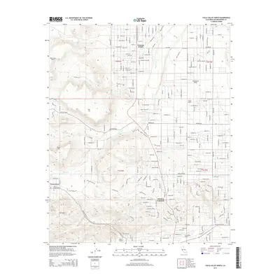
(16)- 2012 Map of Joshua Tree North, 2012 Print
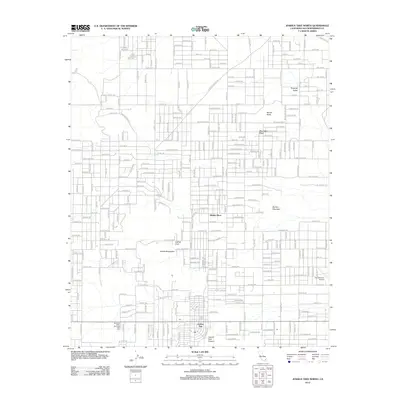 2012 Joshua Tree North2012 Print · USGSCovers Yucca Valley, including Hidden River, Homestead Valley, and other nearby areas
 - 2012 Map of Yucca Valley South, 2012 Print
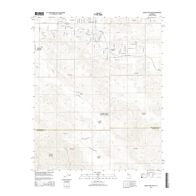
 2012 Yucca Valley South2012 Print · USGSCovers Yucca Valley, including Morongo Valley, San Bernardino County, and other nearby areas
 - 2012 Map of Yucca Valley North, 2012 Print
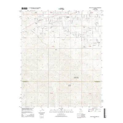
 2012 Yucca Valley North2012 Print · USGSCovers Yucca Valley, including Flamingo Heights, Homestead Valley, and other nearby areas
 - 2012 Map of Joshua Tree South, 2012 Print
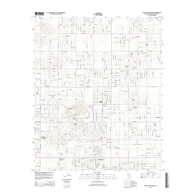
 2012 Joshua Tree South2012 Print · USGSCovers Yucca Valley, including Joshua Tree, San Bernardino County, and other nearby areas
 - 2015 Map of Joshua Tree South, 2015 Print
 2015 Joshua Tree South2015 Print · USGSCovers Yucca Valley, including Joshua Tree, San Bernardino County, and other nearby areas
 - 2015 Map of Yucca Valley North, 2015 Print
 2015 Yucca Valley North2015 Print · USGSCovers Yucca Valley, including Flamingo Heights, Homestead Valley, and other nearby areas
 - 2015 Map of Yucca Valley South, 2015 Print
 2015 Yucca Valley South2015 Print · USGSCovers Yucca Valley, including Morongo Valley, San Bernardino County, and other nearby areas
 - 2015 Map of Joshua Tree North, 2015 Print
 2015 Joshua Tree North2015 Print · USGSCovers Yucca Valley, including Hidden River, Homestead Valley, and other nearby areas
 - 2018 Map of Joshua Tree South, 2018 Print
 2018 Joshua Tree South2018 Print · USGSCovers Yucca Valley, including Joshua Tree, San Bernardino County, and other nearby areas
 - 2018 Map of Yucca Valley North, 2018 Print
 2018 Yucca Valley North2018 Print · USGSCovers Yucca Valley, including Flamingo Heights, Homestead Valley, and other nearby areas
 - 2018 Map of Joshua Tree North, 2018 Print
 2018 Joshua Tree North2018 Print · USGSCovers Yucca Valley, including Hidden River, Homestead Valley, and other nearby areas
 - 2018 Map of Yucca Valley South, 2018 Print
 2018 Yucca Valley South2018 Print · USGSCovers Yucca Valley, including Morongo Valley, San Bernardino County, and other nearby areas
 - 2021 Map of Yucca Valley North, 2021 Print
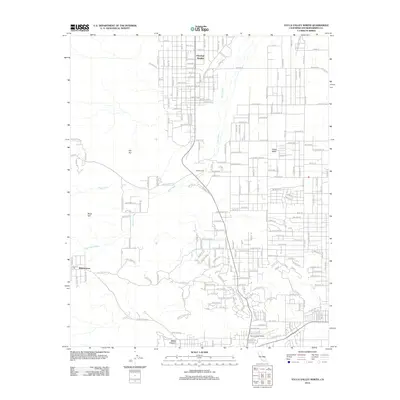
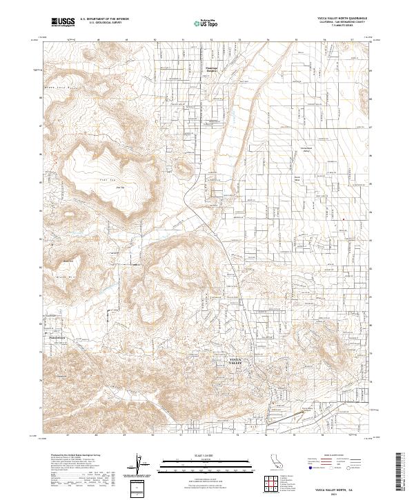 2021 Yucca Valley North2021 Print · USGSYucca Valley and the western Mojave's residential basins are detailed in this modern survey of the High Desert. Historians and residents can trace the development of Pioneertown, locate the Yucca Valley Airport, and study the drainage of Pipes Wash near Black Lava Butte.
 - 2021 Map of Joshua Tree North, 2021 Print
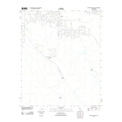
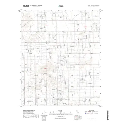
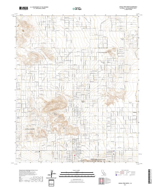 2021 Joshua Tree North2021 Print · USGSHigh desert settlement and parkland meet in the early 2020s as residential grids expand toward the Bartlett Mountains. Researchers can trace the modern boundaries of Joshua Tree National Park and find local landmarks like the Joshua Tree Memorial Park.
 - 2021 Map of Yucca Valley South, 2021 Print
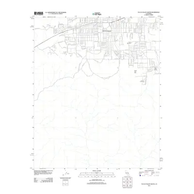
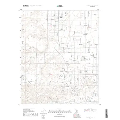
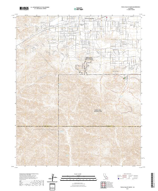 2021 Yucca Valley South2021 Print · USGSYucca Valley transitions from suburban residential streets into the protected desert wilderness of the High Desert during the early 2020s. Trace the boundary between the town and Joshua Tree National Park while locating remote water sources like Chuckawalla Bill Spring and Rattlesnake Spring.
 - 2021 Map of Joshua Tree South, 2021 Print
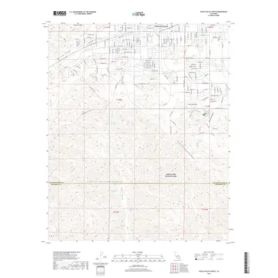
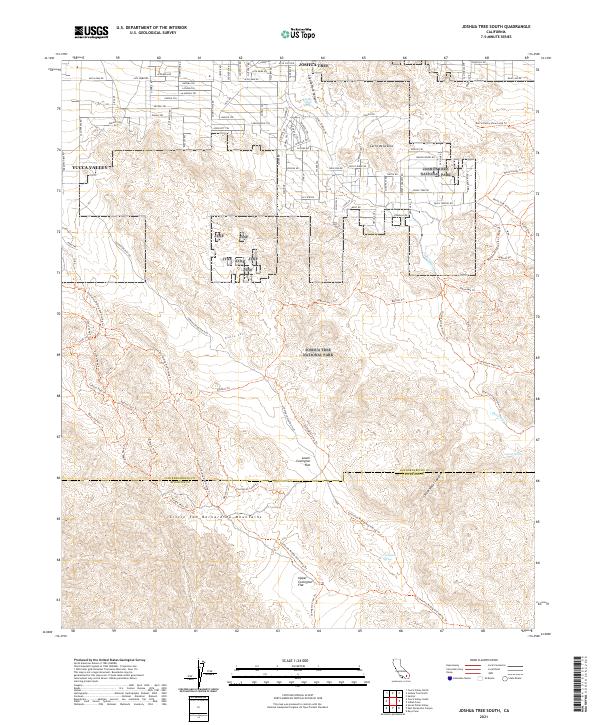 2021 Joshua Tree South2021 Print · USGSThe High Desert communities of Yucca Valley and Joshua Tree meet the wilderness during the early twenty-first century. Hikers and historians can trace routes toward Coyote Hole Spring and Lower Covington Flat.
End of results
Showing maps 1-16 of 16
Top cities near Yucca Valley
Frequently asked questions
- What are the different types of historical maps available for Yucca Valley?
- What is the oldest map of Yucca Valley?
- Where can I purchase historical maps of Yucca Valley for my home or office?
- Where can I download high-res historical maps of Yucca Valley?
- Are there historical topographic maps available for Yucca Valley?
- Is there historical aerial imagery available for Yucca Valley?
- Where are historical maps of Yucca Valley sourced from?