Old Maps of Four Corners, California for Academic Research
Study the evolution of Four Corners with 19 high-resolution historic maps. Whether you're teaching, researching, or modeling changes in land use, these maps provide essential visual documentation of urban, environmental, and geographic change.
- Analyze long-term change: Track patterns in development, transportation, and natural features.
- Ideal for environmental or urban studies: Support academic projects with primary historical map data.
- Use in the classroom or lab: Educators and researchers rely on these maps to bring historical context to life.
These maps are a powerful tool for teaching, research, and visualizing how Four Corners has changed over the decades.
Four Corners, CA maps
(19)- 1893 Map of El Cajon
 1893 El Cajon1893 Print · USGSEastern San Diego County was a landscape of ambitious water engineering and early rail expansion in the 1890s. Genealogists can trace the rural roots of El Cajon, Lakeside, and Santee while following the path of the San Diego Flume.2 unique versions available
 - 1901 Map of Elcajon
 1901 Elcajon1901 Print · USGSSan Diego's eastern valleys are shown at the turn of the century as agriculture and water infrastructure began to reshape the landscape. Trace the path of the San Diego Flume and its tunnels or the rail line serving Foster, Lakeside, and Elcajon.
 - 1903 Map of Cuyamaca
 1903 Cuyamaca1903 Print · USGSInland San Diego County at the turn of the century reveals a landscape defined by new water infrastructure and rail lines. Genealogists and historians can trace early settlements like Lakeside, Dulzura, and the remote Honey Springs Ranch along the international border.6 unique versions available
 - 1903 Map of Elcajon
 1903 Elcajon1903 Print · USGSSan Diego's interior transitions from rail-linked valleys to high reservations at the turn of the century. Trace the path of the San Diego Flume and find vanished railroad stops like Foster and Moreno alongside the growing Elcajon Valley.5 unique versions available
 - 1904 Map of Southern California Sheet No. 2
 1904 Southern California Sheet No. 21904 Print · USGSSouthern California during the early 1900s shows the transition from vast ranchos to coastal rail towns. Genealogists and researchers can trace the Southern California R.R. through Oceanside, explore old land grants like Mission Viejo, and locate early settlements from Fallbrook to Julian.5 unique versions available
 - 1939 Map of El Cajon, 1955 Print
 1939 El Cajon1955 Print · USGSEl Cajon and the San Diego River valleys appear in the late thirties as a network of citrus groves, cattle ranches, and tribal lands. Genealogists and researchers can trace the early footprints of Santee, the Edgemoor County Farm, and the Daly Mine.2 unique versions available
 - 1942 Map of El Cajon
 1942 El Cajon1942 Print · USGSInland San Diego County unfolds in the early 1940s, showing a landscape of working ranches and river valleys before modern development. Genealogists and historians can trace family-named lands like Peale Ranch and early institutions such as Dehesa Sch and the Daky Mine.
 - 1947 Map of El Cajon
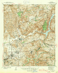 1947 El Cajon1947 Print · USGSThe San Diego River valley and its surrounding foothills appear in the late thirties, centered on the growing community of El Cajon. Genealogists and historians can trace family holdings like Fanita Ranch or locate the Indian Cem and Dehesa Sch in the southern hills.
 - 1950 Map of San Diego, 1954 Print
 1950 San Diego1954 Print · USGSCoastal San Diego and the Baja California border region come alive in this mid-century survey. Trace the early layout of National City and Chula Vista, or locate historic landmarks like the San Diego and Arizona Eastern RR and Fort Rosecrans.
 - 1954 Map of San Diego
 1954 San Diego1954 Print · USGSSan Diego and the northern reaches of Baja California are captured here during a decade of rapid post-war growth and military expansion. Researchers can trace the mid-century shoreline of Mission Beach, find established tribal lands like Capitan Grande Indian Reservation, and follow the border crossing into Tijuana.
 - 1955 Map of San Diego
 1955 San Diego1955 Print · USGSSouthern California underwent massive growth in the post-war years, as suburban development pushed into the canyons and foothills. Researchers can trace the mid-century infrastructure of Lindbergh Field, the Otay River, and numerous sites like Lemon Grove.
 - 1955 Map of El Cajon Mtn, 1957 Print
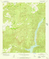 1955 El Cajon Mtn1957 Print · USGSSan Diego County's back country is captured here in the mid-fifties, showing the intersection of tribal lands and early ranching life. Genealogists and historians can trace the foundations of Featherstone Ranch, find the Daly Mine, or locate the original site of El Monte Park.7 unique versions available
 - 1958 Map of San Diego, 1961 Print
 1958 San Diego1961 Print · USGSSan Diego and its inland mountain ranges are captured here in the late fifties as coastal suburbs began to climb the mesas. Researchers can trace the mid-century footprint of Miramar Naval Air Station, the winding San Diego & Arizona Eastern Ry, and local landmarks like Cabrillo Nat Mon.4 unique versions available
 - 1979 Map of El Cajon
 1979 El Cajon1979 Print · USGSSouthern San Diego County and its mountain-to-desert transition are captured here in the late seventies. Researchers can trace the winding San Diego & Arizona Eastern RR, locate rural settlements like Jacumba, and explore the sprawling Cleveland National Forest.2 unique versions available
 - 1997 Map of El Cajon Mountain, 2000 Print
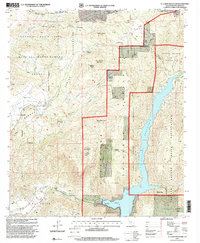 1997 El Cajon Mountain2000 Print · USGSSan Diego County’s rugged interior is captured here in the late nineties as tribal lands meet the national forest. Researchers can locate family landmarks like Poole Ranch and Grable Ranch or trace the early footprint of the El Capitan Reservoir.
 - 2012 Map of El Cajon Mountain, 2012 Print
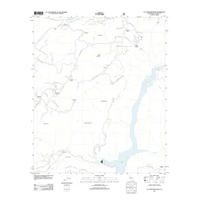 2012 El Cajon Mountain2012 Print · USGSSan Diego County's high terrain and ranch lands are documented here in the early twenty-first century, featuring the Barona Ranch Indian Res and its mountain backdrop. Genealogists and local historians can trace family-named sites like Poole Ranch and Grable Ranch alongside landmarks like Cape Horn Tunnel.
 - 2015 Map of El Cajon Mountain, 2015 Print
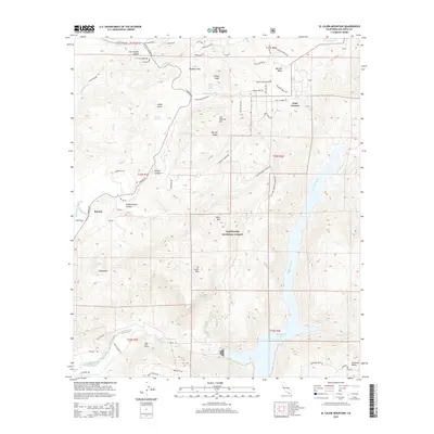 2015 El Cajon Mountain2015 Print · USGSEast of San Diego during the mid-2010s, this area shows a landscape defined by water storage and steep terrain. Researchers can trace the San Diego River into El Capitan Lake and locate landmarks like El Cajon Mtn and Barona.
 - 2018 Map of El Cajon Mountain, 2018 Print
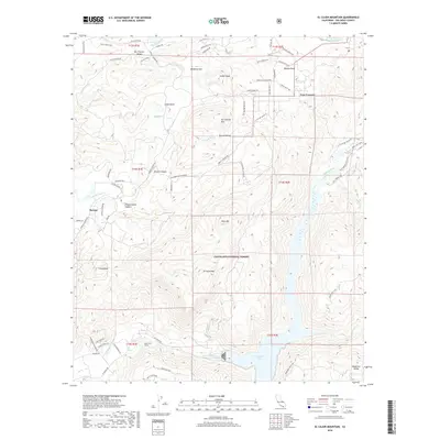 2018 El Cajon Mountain2018 Print · USGSInland San Diego County is shown here in the late twenty-tens, defined by the sprawling acreage of the Cleveland National Forest. Genealogists and hikers can trace the geography of Barona and Anderson Valley or locate features like the Cape Horn Tunnel.
 - 2021 Map of El Cajon Mountain, 2021 Print
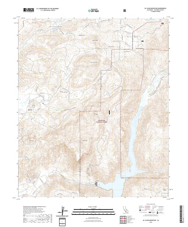 2021 El Cajon Mountain2021 Print · USGSSan Diego County in the early 2020s shows a landscape of protected forest and high-altitude reservoirs. Researchers can trace the trails and summits of Cleveland National Forest or locate landmarks like El Cajon Mtn, Barona, and Silverdome.
End of results
Showing maps 1-19 of 19
Top cities near Four Corners
- San Diego historical maps
- Escondido historical maps
- El Cajon historical maps
- La Mesa historical maps
- Santee historical maps
- Poway historical maps
See more
Frequently asked questions
- What are the different types of historical maps available for Four Corners?
- What is the oldest map of Four Corners?
- Where can I purchase historical maps of Four Corners for my home or office?
- Where can I download high-res historical maps of Four Corners?
- Are there historical topographic maps available for Four Corners?
- Is there historical aerial imagery available for Four Corners?
- Where are historical maps of Four Corners sourced from?