Old Maps of Bridlewood, Poway for Hiking & Exploration
Hike through history with 17 historic maps of Bridlewood. Explore old trails, ghost towns, and forgotten backroads — perfect for outdoor adventurers and local explorers.
- Rediscover forgotten places: Map out old mining camps, roads, and footpaths that no longer exist on modern maps.
- Layer with modern tools: Combine with LiDAR or satellite views to plan hikes through historical terrain.
- Made for exploration: Popular among hikers, overlanders, and local history lovers.
Use these maps to find adventure and explore the hidden past of Bridlewood.
Bridlewood, Poway maps
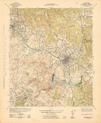
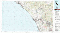
(17)- 1893 Map of Escondido
 1893 Escondido1893 Print · USGSCovers Bridlewood, including San Diego, Oceanside, and other nearby areas2 unique versions available
 - 1901 Map of Escondido
 1901 Escondido1901 Print · USGSCovers Bridlewood, including San Diego, Oceanside, and other nearby areas6 unique versions available
 - 1901 Map of San Luis Rey
 1901 San Luis Rey1901 Print · USGSCovers Bridlewood, including San Diego, Oceanside, and other nearby areas8 unique versions available
 - 1904 Map of Southern California Sheet No. 2
 1904 Southern California Sheet No. 21904 Print · USGSCovers Bridlewood, including Tijuana, San Diego, and other nearby areas5 unique versions available
 - 1942 Map of Escondido
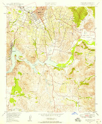
 1942 Escondido1942 Print · USGSCovers Bridlewood, including San Diego, Oceanside, and other nearby areas
 - 1947 Map of Santa Ana, 1949 Print
 1947 Santa Ana1949 Print · USGSCovers Bridlewood, including San Diego, Anaheim, and other nearby areas
 - 1948 Map of Escondido, 1958 Print
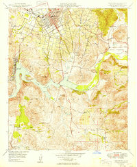
 1948 Escondido1958 Print · USGSCovers Bridlewood, including San Diego, Escondido, and other nearby areas2 unique versions available
 - 1949 Map of Escondido
 1949 Escondido1949 Print · USGSCovers Bridlewood, including San Diego, Escondido, and other nearby areas2 unique versions available
 - 1949 Map of Santa Ana
 1949 Santa Ana1949 Print · USGSCovers Bridlewood, including San Diego, Anaheim, and other nearby areas
 - 1956 Map of Santa Ana
 1956 Santa Ana1956 Print · USGSCovers Bridlewood, including San Diego, Anaheim, and other nearby areas
 - 1959 Map of Santa Ana, 1971 Print
 1959 Santa Ana1971 Print · USGSCovers Bridlewood, including San Diego, Anaheim, and other nearby areas3 unique versions available
 - 1960 Map of Santa Ana
 1960 Santa Ana1960 Print · USGSCovers Bridlewood, including San Diego, Anaheim, and other nearby areas2 unique versions available
 - 1965 Map of Santa Ana
 1965 Santa Ana1965 Print · USGSCovers Bridlewood, including San Diego, Anaheim, and other nearby areas
 - 1968 Map of Escondido, 1970 Print
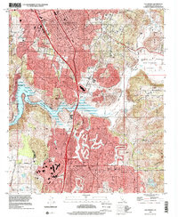
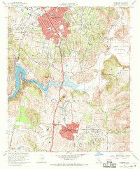 1968 Escondido1970 Print · USGSCovers Bridlewood, including San Diego, Escondido, and other nearby areas5 unique versions available
 - 1982 Map of Oceanside, 1983 Print
 1982 Oceanside1983 Print · USGSCovers Bridlewood, including San Diego, Oceanside, and other nearby areas2 unique versions available
 - 1996 Map of Escondido, 2001 Print
 1996 Escondido2001 Print · USGSCovers Bridlewood, including San Diego, Escondido, and other nearby areas
 - 2022 Map of Escondido, 2022 Print
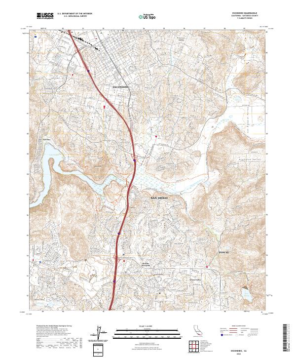 2022 Escondido2022 Print · USGSCovers Bridlewood, including San Diego, Escondido, and other nearby areas
End of results
Showing maps 1-17 of 17
Frequently asked questions
- What are the different types of historical maps available for Bridlewood?
- What is the oldest map of Bridlewood?
- Where can I purchase historical maps of Bridlewood for my home or office?
- Where can I download high-res historical maps of Bridlewood?
- Are there historical topographic maps available for Bridlewood?
- Is there historical aerial imagery available for Bridlewood?
- Where are historical maps of Bridlewood sourced from?