Old Maps of Dearborn Park, California for Metal Detecting
Plan your next treasure hunt with 23 historic maps of Dearborn Park. Find old homesites, ghost towns, trails, and gathering spots that may be lost to time — perfect for identifying promising metal detecting locations.
- Locate forgotten sites: Uncover places like long-lost settlements, abandoned rail lines, or gathering spots.
- Plan better hunts: Use map overlays combined with LiDAR or satellite views to narrow in on historically rich areas.
- Made for detectorists: Thousands of hobbyists use these maps to discover relics, coins, and hidden history.
Use these historic maps to boost your research and find new opportunities beneath the surface of Dearborn Park.
Dearborn Park, CA maps
(23)- 1902 Map of Santa Cruz
 1902 Santa Cruz1902 Print · USGSCoastal California at the end of the Victorian era reveals a landscape of redwood forests, early university towns, and remote Pacific outposts. Genealogists and historians can trace the early rail corridors through Boulder Creek and Felton or locate coastal landmarks like Pigeon Point and Halfmoon Bay.9 unique versions available
 - 1940 Map of Halfmoon Bay
 1940 Halfmoon Bay1940 Print · USGSThe San Mateo coast and Santa Cruz Mountains appear here in the early 1940s, balancing rural ranching with early oil exploration. Genealogists and local historians can trace family-named sites like Bowman Ranch and old rural hubs including Pescadero and La Honda.2 unique versions available
 - 1943 Map of Halfmoon Bay
 1943 Halfmoon Bay1943 Print · USGSSan Mateo County's coastline and mountain ridges appear here during the mid-war years, showcasing a landscape of rural schoolhouses and coastal hamlets. Trace family roots and local landmarks from the Pulgas Water Temple to old sites like Pescadero and Purisima Sch.
 - 1947 Map of San Francisco, 1948 Print
 1947 San Francisco1948 Print · USGSThe Bay Area in the late 1940s reveals a region transitioning from wartime intensity to post-war suburban growth. Trace the historic rail lines of the Southern Pacific RR or locate early military footprints at Fort Funston and Moffett Field.
 - 1948 Map of San Francisco, 1951 Print
 1948 San Francisco1951 Print · USGSThe Bay Area in the late 1940s reveals a landscape defined by rapid post-war growth and a heavy military presence at the Golden Gate. Trace the development of early trans-bay infrastructure like the Oakland-Bay Bridge and historic coastal defense sites such as Fort Funston and Alcatraz Island.
 - 1955 Map of San Francisco
 1955 San Francisco1955 Print · USGSThe San Francisco Bay Area and central coast are captured during the postwar boom as suburbs and infrastructure expanded rapidly. Trace the development of local communities and military installations like the Presidio and Fort Mason, or follow the Southern Pacific rail lines.
 - 1955 Map of La Honda, 1957 Print
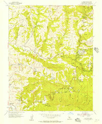 1955 La Honda1957 Print · USGSCoastal mountain life in the mid-1950s centers around remote logging roads and secluded youth camps like the Woodhaven Girl Scout Camp. Researchers can trace old property lines and rural landmarks such as Pomponio Ranch, Milky Lane Dairy, and the Bellvale School.
 - 1956 Map of San Francisco
 1956 San Francisco1956 Print · USGSThe San Francisco Bay Area is captured in the mid-fifties, showing a landscape of rapid post-war growth and massive military installations. Researchers can trace the sprawling rail lines of the Southern Pacific and locate historic sites like Stanford University or the Hunters Point Naval Shipyard.4 unique versions available
 - 1957 Map of San Francisco
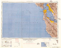 1957 San Francisco1957 Print · USGSThe Bay Area in the mid-fifties reveals a rapidly growing metropolitan landscape connected by its iconic spans and rail networks. Researchers can trace the layout of military sites like the Presidio and the extent of the Southern Pacific and Western Pacific railroads.
 - 1960 Map of San Francisco
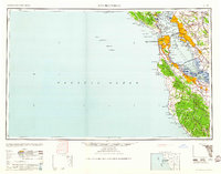 1960 San Francisco1960 Print · USGSThe San Francisco Bay Area at the start of the sixties reveals a landscape of rapid expansion and critical infrastructure. Researchers can trace the development of East Bay communities like Russell City and Mt Eden or locate early rural landmarks like Alpine School.
 - 1961 Map of La Honda
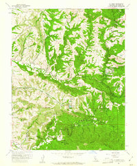 1961 La Honda1961 Print · USGSCoastal canyons and mountain ridges define this San Mateo County landscape in the early sixties. Researchers can trace historic settlements and recreational landmarks from San Gregorio to the San Francisco Boys School and Loma Mar.4 unique versions available
 - 1961 Map of San Francisco
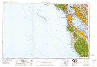 1961 San Francisco1961 Print · USGSThe Bay Area at the dawn of the 1960s reveals a landscape of growing cities and massive Cold War military installations. Genealogists and historians can trace the mid-century urban footprint from Berkeley to San Mateo, while locating landmarks like the Presidio, Alcatraz Island, and Moffett Field Air Station.
 - 1961 Map of Half Moon Bay, 1962 Print
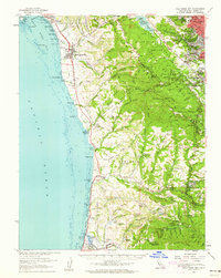 1961 Half Moon Bay1962 Print · USGSThe San Mateo coastline and Santa Cruz Mountains appear in the early sixties as a mix of foggy seaside hamlets and deep timbered canyons. Trace local history through the Log Cabin Boys School, the distinctive Water Temple, and family-named landmarks like Burns Ranch or The Potato Patch.2 unique versions available
 - 1964 Map of San Francisco
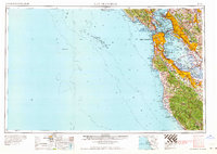 1964 San Francisco1964 Print · USGSThe Bay Area in the mid-sixties shows a region of rapid suburban expansion and major military installations. Researchers can trace the development of the South Bay near Stanford University or locate family plots in the historic Cypress Lawn Cem and Holy Cross Cem.
 - 1971 Map of San Francisco
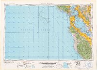 1971 San Francisco1971 Print · USGSThe San Francisco Bay Area at the start of the 1970s is shown here as a dense network of aerospace hubs, naval bases, and expanding suburbs. Researchers can trace the mid-century footprint of Stanford University, the industrial Salt Evaporators, and the Southern Pacific rail lines.
 - 1982 Map of Palo Alto, 1983 Print
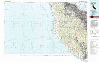 1982 Palo Alto1983 Print · USGSThe Santa Cruz Mountains and the Peninsula's bayshore are captured here in the early eighties as tech-driven growth reshaped the valley. Researchers can trace the sprawling grounds of Stanford University or explore coastal landmarks like the Pigeon Point Lighthouse.2 unique versions available
 - 1985 Map of San Francisco, 1989 Print
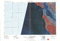 1985 San Francisco1989 Print · USGSThe Bay Area is captured in the mid-1980s through experimental Landsat satellite imagery, offering a unique technological perspective of the California coast. Trace the urban boundaries of San Francisco and Alameda against the San Francisco Bay and Lorenzo.
 - 1991 Map of La Honda, 1995 Print
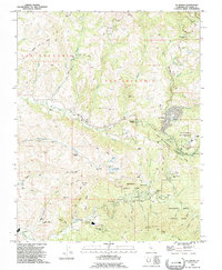 1991 La Honda1995 Print · USGSThe Santa Cruz Mountains in the early nineties show a landscape of redwood-canopy retreats and institutional ranches. Genealogists and local historians can trace the footprints of Redwood Terrace, Pomponio Ranch, and the Oil Wells near Kingston Cr.
 - 1997 Map of La Honda, 1999 Print
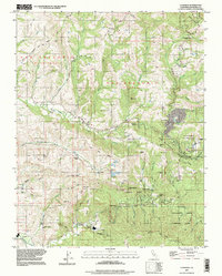 1997 La Honda1999 Print · USGSCoastal San Mateo County's ridge-and-valley landscape appears here in the late twentieth century, showing a region of dense woods and scattered rural enclaves. Researchers can trace the layout of family-named ranches and youth camps like Pomponio Ranch and San Francisco Camp.
 - 2012 Map of La Honda, 2012 Print
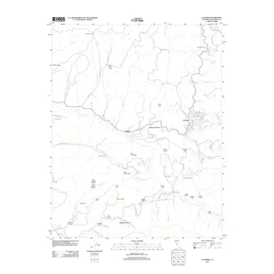 2012 La Honda2012 Print · USGSCoastal mountains and redwood-lined canyons near the San Mateo coast are captured here in the early twenty-first century. Genealogists and local historians can trace the footprints of Corte Madera Ranch, San Francisco Camp, and the community at Loma Mar.
 - 2015 Map of La Honda, 2015 Print
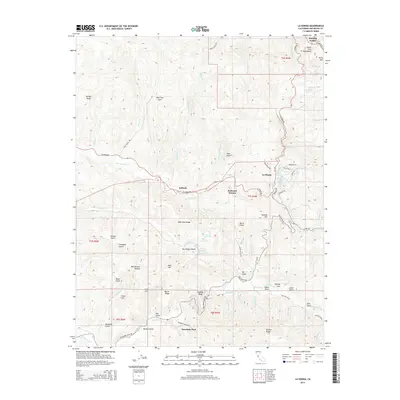 2015 La Honda2015 Print · USGSThe Santa Cruz Mountains near La Honda are shown here in the mid-2010s, capturing the winding roads and isolated hamlets of coastal San Mateo County. Researchers can trace the drainages of Pescadero Cr and locate mountain landmarks like The Potato Patch and Loma Mar.
 - 2018 Map of La Honda, 2018 Print
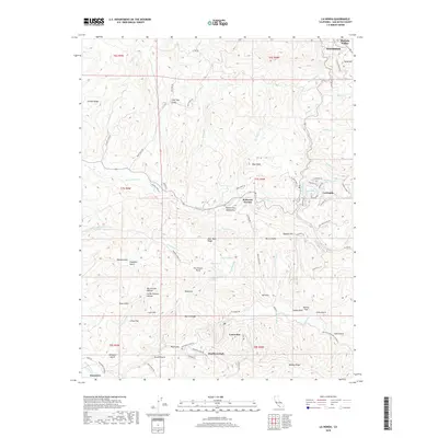 2018 La Honda2018 Print · USGSThe Santa Cruz Mountains near La Honda and Loma Mar are shown here as a landscape of deep gulches and residential enclaves in 2018. Trace local history through landmarks like Dearborn Park, Reflection Lake, and the winding Pescadero Rd.
 - 2021 Map of La Honda, 2021 Print
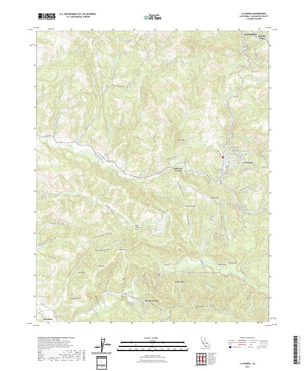 2021 La Honda2021 Print · USGSThe coastal valleys of San Mateo County are shown here in the 2020s, highlighting the enduring rural character of the Santa Cruz Mountains. Genealogists and hikers can trace old routes like Old Haul Road or find family landmarks in Loma Mar and La Honda.
End of results
Showing maps 1-23 of 23
Top cities near Dearborn Park
- Fremont historical maps
- Redwood City historical maps
- Mountain View historical maps
- Palo Alto historical maps
- Menlo Park historical maps
- East Palo Alto historical maps
See more
Frequently asked questions
- What are the different types of historical maps available for Dearborn Park?
- What is the oldest map of Dearborn Park?
- Where can I purchase historical maps of Dearborn Park for my home or office?
- Where can I download high-res historical maps of Dearborn Park?
- Are there historical topographic maps available for Dearborn Park?
- Is there historical aerial imagery available for Dearborn Park?
- Where are historical maps of Dearborn Park sourced from?