Old Maps of Erickson, California for Hiking & Exploration
Hike through history with 16 historic maps of Erickson. Explore old trails, ghost towns, and forgotten backroads — perfect for outdoor adventurers and local explorers.
- Rediscover forgotten places: Map out old mining camps, roads, and footpaths that no longer exist on modern maps.
- Layer with modern tools: Combine with LiDAR or satellite views to plan hikes through historical terrain.
- Made for exploration: Popular among hikers, overlanders, and local history lovers.
Use these maps to find adventure and explore the hidden past of Erickson.
Erickson, CA maps
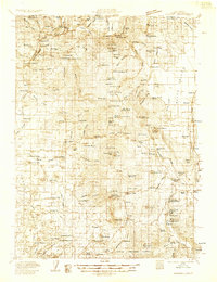
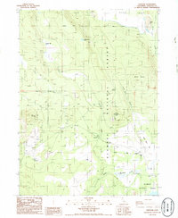
(16)- 1886 Map of Shasta
 1886 Shasta1886 Print · USGSUpper California in the mid-1880s is captured here during the height of the mining era and the early days of mountain tourism. Genealogists can locate family holdings near Yreka, trace river crossings like the ferry at Oaks Bar, or find early resorts at Upper Soda Spring.3 unique versions available
 - 1894 Map of Shasta, 1903 Print
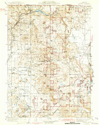
 1894 Shasta1903 Print · USGSNorthern California at the turn of the century reveals a landscape defined by the shadow of Mt Shasta and a booming mining economy. Genealogists can trace family roots through pioneer settlements like Yreka, Fort Jones, and the Callahan Ranch as the frontier transitioned into a network of established ranching and timber hubs.8 unique versions available
 - 1934 Map of Macdoel
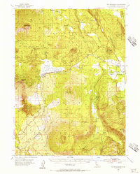
 1934 Macdoel1934 Print · USGSSiskiyou County's high-desert valleys and timberlands come alive in this mid-thirties survey of the Klamath River corridor. Trace the early development of Macdoel and Snowden, or locate vanished landmarks like the Old Hoffman Mill and Smith Sawmill.
 - 1941 Map of Macdoel
 1941 Macdoel1941 Print · USGSUpper Siskiyou County is seen here just before the mid-century, where the timber industry and Southern Pacific rail lines defined the high valley landscape. Genealogists can trace early homesteads like Prather Ranch and Soule Ranch, alongside several local schoolhouses and the State Fish Hatchery.3 unique versions available
 - 1948 Map of Weed, 1950 Print
 1948 Weed1950 Print · USGSNorthern California and Southern Oregon are captured here during the post-war era, documenting the mountain-and-valley economies of the Klamath and Cascade ranges. Trace the legacy of local mining and timber at the King Solomon Mine, find old schools like Siskiyou County School, and follow the historic Southern Pacific RR route.2 unique versions available
 - 1950 Map of Weed
 1950 Weed1950 Print · USGSSiskiyou County and the surrounding Klamath mountains appear in the mid-century before extensive modern development. Genealogists and local historians can locate remote outposts like the Lee Brown Ranch and the specialized settlement of Darlingtonia.
 - 1954 Map of The Whaleback, 1956 Print
 1954 The Whaleback1956 Print · USGSThe timbered uplands of Siskiyou County are mapped here in the mid-fifties as the logging industry and rail network reached their peak. Researchers can trace the Southern Pacific line past Leaf and Andesite or locate the historic Soule Ranch.3 unique versions available
 - 1958 Map of Weed, 1963 Print
 1958 Weed1963 Print · USGSThe Northern California high country of the late fifties is defined by the towering presence of Mt Shasta and the logging railroads of the Siskiyou range. Genealogists and researchers can trace remote mining sites like the China Mine and mountain settlements such as Sawyers Bar and Seiad Valley.3 unique versions available
 - 1963 Map of Weed
 1963 Weed1963 Print · USGSNorthern California during the early 1960s shows a landscape of steep mountain ranges and river-fed valleys at the height of the timber era. Researchers can trace the routes of the McCloud River RR, locate remote sites like the Holiday Mine, or find ancestral markers at the Scott Valley Cem.
 - 1979 Map of Yreka
 1979 Yreka1979 Print · USGSSiskiyou County in the late seventies is a rugged landscape of deep river canyons and high mountain valleys where logging and mining history meet. Genealogists and researchers can trace old rail stops and mining sites like Klamathon, Negro Boy Mine, and the settlement of Mugginsville.
 - 1986 Map of Penoyar
 1986 Penoyar1986 Print · USGSSiskiyou County's high forest and volcanic buttes are captured here in the mid-1980s. Genealogists and historians can trace former homesteads and industry at Hoffman Mill (Site), Soule Ranch (Site), and the settlement of Penoyar.
 - 2001 Map of Penoyar, 2004 Print
 2001 Penoyar2004 Print · USGSSiskiyou County's volcanic landscape at the turn of the millennium reveals a rugged mix of timber, ranching, and rail history. Researchers can pinpoint the former Hoffman Mill (Site) and Soule Ranch (Site) or trace the path of Horsethief Creek.
 - 2012 Map of Penoyar, 2012 Print
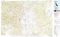
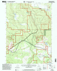
 2012 Penoyar2012 Print · USGSCovers Erickson, including Penoyar, Leaf, and other nearby areas
 - 2015 Map of Penoyar, 2015 Print
 2015 Penoyar2015 Print · USGSCovers Erickson, including Penoyar, Leaf, and other nearby areas
 - 2018 Map of Penoyar, 2018 Print
 2018 Penoyar2018 Print · USGSCovers Erickson, including Penoyar, Leaf, and other nearby areas
 - 2021 Map of Penoyar, 2021 Print
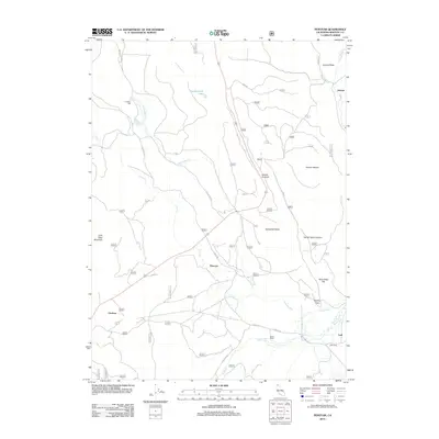
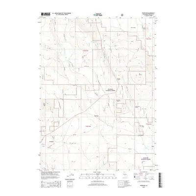
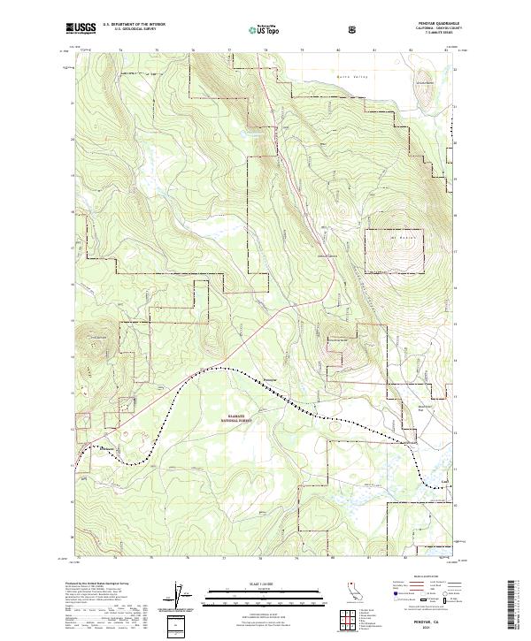 2021 Penoyar2021 Print · USGSSiskiyou County's high-elevation terrain is shown here in the modern era, where forestry roads and small outposts define the landscape. Researchers can locate the settlements of Penoyar and Leaf, or trace routes near Mt Hebron and Dead Steer Flat.
End of results
Showing maps 1-16 of 16
Frequently asked questions
- What are the different types of historical maps available for Erickson?
- What is the oldest map of Erickson?
- Where can I purchase historical maps of Erickson for my home or office?
- Where can I download high-res historical maps of Erickson?
- Are there historical topographic maps available for Erickson?
- Is there historical aerial imagery available for Erickson?
- Where are historical maps of Erickson sourced from?