Old Maps of Timba, California for Genealogy
Trace your family roots with 13 historic maps of Timba. These high-res maps reveal old neighborhoods, homesites, landmarks, and streets — helping you uncover where your ancestors lived and how the area evolved over time.
- Explore historic neighborhoods: Identify where your relatives may have lived in the 1800s or 1900s.
- Compare maps over time: Trace the changes in streets, buildings, and landmarks for multi-generational research.
- Perfect for genealogy & ancestry research: Used by family historians and researchers to map out lineage and migration.
These maps are an incredible resource for exploring your personal connection to Timba's past.
Timba, CA maps
(13)- 1917 Map of Newman
 1917 Newman1917 Print · USGSNewman and the surrounding San Joaquin Valley are captured here during a period of rapid agricultural expansion before the First World War. Researchers can trace the early irrigation grid and find local landmarks like Orestimba School, the Cem, and the rail lines serving Gustine.3 unique versions available
 - 1919 Map of Orestimba
 1919 Orestimba1919 Print · USGSThe western San Joaquin Valley comes alive in the years following the Great War, showing a landscape defined by the growth of irrigation and rail. Genealogists and historians can locate early homesteads near Patterson, rural schoolhouses like Canal School, and the extensive MAIN CANAL system.3 unique versions available
 - 1941 Map of Orestimba
 1941 Orestimba1941 Print · USGSThe San Joaquin Valley and Diablo Range foothills meet here in the early 1940s, showing a landscape defined by industrial irrigation and rail. Trace the Southern Pacific line through Patterson and Newman, or locate rural landmarks like the Canal School and Stimba Pumping Station.
 - 1947 Map of San Jose, 1948 Print
 1947 San Jose1948 Print · USGSNorthern California's heartland is captured here just after the war, showing the rapid growth of the Santa Clara and Central Valleys. Researchers can trace the legacy of rail and water at Castle Air Force Base, Stockton, and the Hetch Hetchy Aqueduct.
 - 1952 Map of Newman, 1954 Print
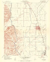 1952 Newman1954 Print · USGSThe San Joaquin Valley's agricultural landscape is captured here in the early 1950s, showing the critical rail and water systems that drove the region. Genealogists can trace family holdings along Stuhr Road or locate landmarks like the Canal Sch and West Side Hosp.4 unique versions available
 - 1956 Map of San Jose
 1956 San Jose1956 Print · USGSCentral California in the mid-fifties reveals the transition from sprawling orchards to growing urban hubs like San Jose and Stockton. Genealogists and historians can trace the rail-era landscape of the Mother Lode through Chinese Camp and Tuttletown, or follow the water through the Joaquin River and Calaveras Reservoir.
 - 1962 Map of San Jose
 1962 San Jose1962 Print · USGSCentral California in the early sixties showcases the expansion of the San Joaquin and Santa Clara valleys. Researchers can trace the rail-to-road transition along the Southern Pacific RR or locate landmarks like Castle USAF Base and Loma Prieta.4 unique versions available
 - 1966 Map of San Jose
 1966 San Jose1966 Print · USGSCentral California in the mid-1960s reveals a landscape of massive irrigation projects and expanding Cold War military footprints. Researchers can trace the rail-and-river network of the San Joaquin Valley or locate specialized sites like Castle Air Force Base and the Sharp General Depot (Military).
 - 1978 Map of San Jose
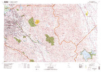 1978 San Jose1978 Print · USGSSanta Clara County and the East Bay hills are captured in the late seventies, showing the suburban sprawl of San Jose alongside the rural Central Valley. Trace the paths of the Southern Pacific railroad and find landmarks like New Almaden and Lick Observatory.
 - 2012 Map of Newman, 2012 Print
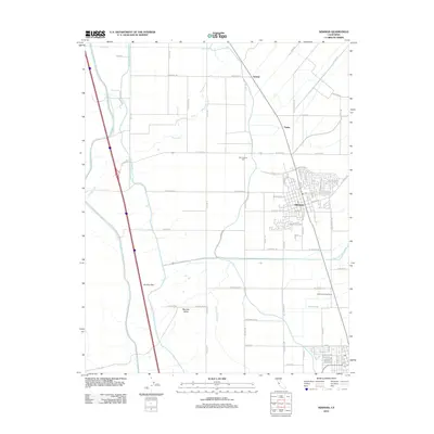 2012 Newman2012 Print · USGSNewman and the surrounding Stanislaus County farmland are captured here in the early twenty-first century, showing the intersection of local history and modern infrastructure. Genealogists and researchers can trace the town’s layout or locate outlying landmarks like the San Joachim Cem, Bennett Valley, and the historic Hills Ferry Rd.
 - 2015 Map of Newman, 2015 Print
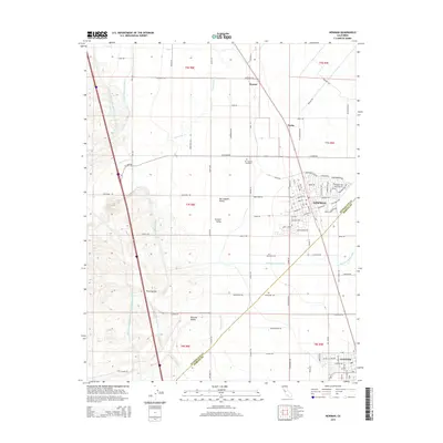 2015 Newman2015 Print · USGSThe northern San Joaquin Valley in the mid-2010s reveals a high-precision landscape of massive water projects and established farming towns. Trace the parallel paths of the Delta-Mendota Canal and the California Aqueduct near Newman and the San Joachim Cemetery.
 - 2018 Map of Newman, 2018 Print
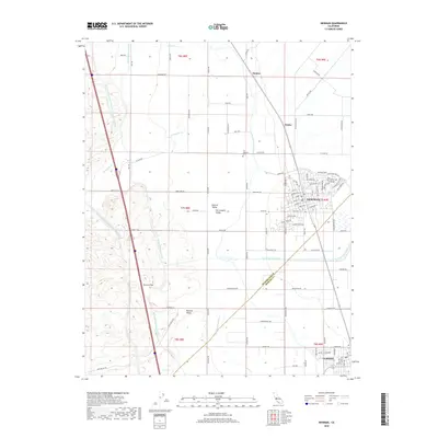 2018 Newman2018 Print · USGSThe western San Joaquin Valley comes into focus in this recent survey, capturing the irrigation-fed agriculture between the Diablo Range foothills and the valley floor. Genealogists and researchers can trace the roads around Newman, locate the San Joachim Cem, and follow the massive Delta-Mendota Canal.
 - 2021 Map of Newman, 2021 Print
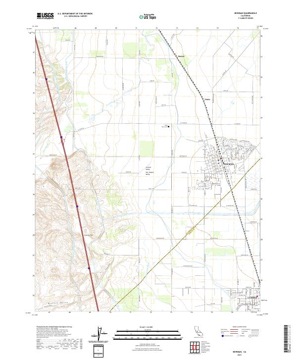 2021 Newman2021 Print · USGSNewman and the edge of Gustine are documented here during a period of modern agricultural expansion in the San Joaquin Valley. Researchers can trace historic sites like the Hills Ferry Cem and follow the paths of the Delta-Mendota Canal and Orestimba Cr.
End of results
Showing maps 1-13 of 13
Top cities near Timba
- Modesto historical maps
- Turlock historical maps
- Patterson historical maps
- Newman historical maps
- Gustine historical maps
- Westley historical maps
Frequently asked questions
- What are the different types of historical maps available for Timba?
- What is the oldest map of Timba?
- Where can I purchase historical maps of Timba for my home or office?
- Where can I download high-res historical maps of Timba?
- Are there historical topographic maps available for Timba?
- Is there historical aerial imagery available for Timba?
- Where are historical maps of Timba sourced from?