Old Maps of Trowbridge, California for Genealogy
Trace your family roots with 13 historic maps of Trowbridge. These high-res maps reveal old neighborhoods, homesites, landmarks, and streets — helping you uncover where your ancestors lived and how the area evolved over time.
- Explore historic neighborhoods: Identify where your relatives may have lived in the 1800s or 1900s.
- Compare maps over time: Trace the changes in streets, buildings, and landmarks for multi-generational research.
- Perfect for genealogy & ancestry research: Used by family historians and researchers to map out lineage and migration.
These maps are an incredible resource for exploring your personal connection to Trowbridge's past.
Trowbridge, CA maps
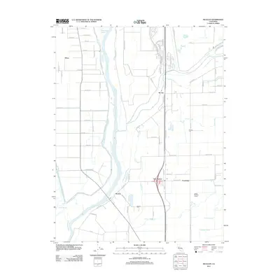
(13)- 1910 Map of Nicolaus
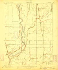 1910 Nicolaus1910 Print · USGSSutter County thrives at the junction of the Feather and Bear rivers during the early 1900s rail expansion. Genealogy and local history researchers can trace old rail stops at Nicolaus Sta and Rio Oso or locate landmarks like the Illinois School.2 unique versions available
 - 1947 Map of Sacramento, 1948 Print
 1947 Sacramento1948 Print · USGSThe Sacramento Valley meets the high Sierra during a period of post-war expansion. Trace the historic river delta islands like Grand Island or locate early airfield footprints at McClellan Air Force Base and Mather Air Force Base.2 unique versions available
 - 1948 Map of Sacramento, 1951 Print
 1948 Sacramento1951 Print · USGSPost-war Northern California comes alive in this regional survey, capturing the era of expansion between the Central Valley and the High Sierra. Researchers can trace the rail networks of the Central California Traction and Sacramento Northern RR or locate landmarks like the State Capitol and University of California Davis.
 - 1952 Map of Nicolaus, 1953 Print
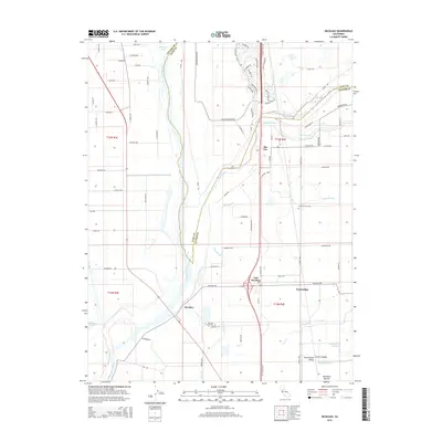
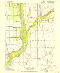 1952 Nicolaus1953 Print · USGSIn the early 1950s, the Sutter County river basin was a vital hub of rail and agriculture at the junction of two major rivers. Trace local roots through the Nicolaus Cem, Fairview Church, and the many tracks of the Southern Pacific and Sacramento Northern railroads.4 unique versions available
 - 1952 Map of Knights Landing, 1959 Print
 1952 Knights Landing1959 Print · USGSMid-century Sutter and Yolo counties are defined here by a complex network of levees, bypasses, and river bends. Genealogists and local historians can trace family-named sites like Fairview Cemetery and Wilson School alongside the bustling rail lines of the Southern Pacific.2 unique versions available
 - 1956 Map of Sacramento
 1956 Sacramento1956 Print · USGSMid-century California unfolds from the delta to the high Sierra, capturing a landscape of growing valley cities and burgeoning military airbases. Genealogists and historians can trace the rail lines and river towns from Woodland to Lodi, or explore the foothill settlements of Placerville and Jackson.2 unique versions available
 - 1957 Map of Sacramento, 1966 Print
 1957 Sacramento1966 Print · USGSIn the mid-twentieth century, the California heartland was a hub of river transport, rail lines, and military airbases. Genealogists and historians can trace the development of Gold Country towns like Angels Camp and Sonora or follow the path of the Southern Pacific RR through the growing suburbs of Sacramento.4 unique versions available
 - 1992 Map of Nicolaus, 1997 Print
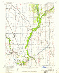
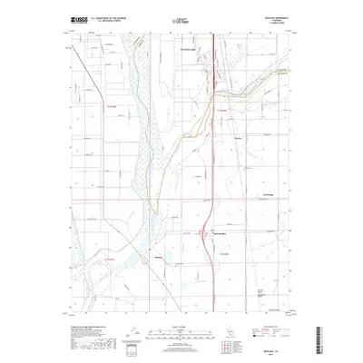
 1992 Nicolaus1997 Print · USGSThe Feather River and Bear River meet here in the 1990s, shaping a landscape of agricultural levees and riverside settlements. Researchers can locate family sites in Nicolaus, East Nicolaus, or near Fairview Cemetery along the Southern Pacific line.
 - 1994 Map of Sacramento
 1994 Sacramento1994 Print · USGSThe Sacramento valley was a landscape of massive flood control and military aviation during the mid-nineties. Researchers can trace the complex network of the Yolo Bypass and the Sacramento River alongside McClellan Air Force Base and Zamora.2 unique versions available
 - 2012 Map of Nicolaus, 2012 Print
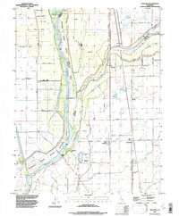
 2012 Nicolaus2012 Print · USGSCovers Trowbridge, including East Nicolaus, Nicolaus, and other nearby areas
 - 2015 Map of Nicolaus, 2015 Print
 2015 Nicolaus2015 Print · USGSCovers Trowbridge, including East Nicolaus, Nicolaus, and other nearby areas
 - 2018 Map of Nicolaus, 2018 Print
 2018 Nicolaus2018 Print · USGSCovers Trowbridge, including East Nicolaus, Nicolaus, and other nearby areas
 - 2022 Map of Nicolaus, 2022 Print
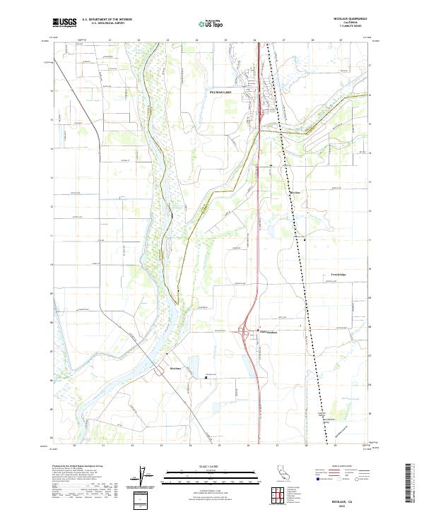 2022 Nicolaus2022 Print · USGSThe Sutter County plains meet the Feather River in the early 2020s, revealing a landscape defined by water and riverfront settlements. Genealogists and local historians can trace family locations near Nicolaus, East Nicolaus, and the Fairview Cem.
End of results
Showing maps 1-13 of 13
Top cities near Trowbridge
- Roseville historical maps
- Citrus Heights historical maps
- Yuba City historical maps
- Woodland historical maps
- Lincoln historical maps
- Linda historical maps
See more
Frequently asked questions
- What are the different types of historical maps available for Trowbridge?
- What is the oldest map of Trowbridge?
- Where can I purchase historical maps of Trowbridge for my home or office?
- Where can I download high-res historical maps of Trowbridge?
- Are there historical topographic maps available for Trowbridge?
- Is there historical aerial imagery available for Trowbridge?
- Where are historical maps of Trowbridge sourced from?