Old Maps of Douglas City, California
Explore 13 old maps of Douglas City, spanning from 1890 to today. These high-resolution historic maps reveal how streets, neighborhoods, landmarks, and natural features evolved over time — perfect for genealogy, metal detecting, research, and local history exploration.
What you can do with these maps:
- See how Douglas City changed over time: Compare historical maps to modern-day views to trace roads, homesites, rail lines & more.
- View detailed metadata: Each map includes creators, publishers, year, scale, and archive source.
- Overlay maps with satellite & LiDAR: Visualize the past alongside modern tools to explore terrain & human change.
- Trusted historical sources: Maps sourced from the USGS, Library of Congress, and other archives.
- Access maps your way: View online, download high-res files, or order prints for personal or research use.
Start exploring old maps of Douglas City to uncover forgotten places, hidden landmarks, and the deep history beneath your feet.
Douglas City, CA maps
(13)- 1890 Map of Red Bluff
 1890 Red Bluff1890 Print · USGSNorthern California in the late nineteenth century was a hub of river-and-rail activity where the Central Pacific Railroad met the rugged Klamath Mountains. Researchers can trace old ferry crossings like Ball's Ferry, locate the U.S. Fishery, or find early mining camps and stations such as Minersville and Buck Horn Station.
 - 1894 Map of Red Bluff, 1896 Print
 1894 Red Bluff1896 Print · USGSNorthern California's mining and river-trading frontier comes alive in this survey of the late nineteenth century. Genealogists and historians can trace the growth of rail hubs like Redding or locate early river crossings and industrial sites such as Jelley's Ferry and the Copper Mine.6 unique versions available
 - 1913 Map of Weaverville
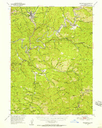
 1913 Weaverville1913 Print · USGSTrinity and Shasta counties appear here during a peak era of mountain mining and ranching before the mid-century reservoirs were built. Genealogists can trace early homesteads and industrial sites like Whiskytown, Minersville, and the Gladstone Mine.6 unique versions available
 - 1950 Map of Weaverville, 1957 Print
 1950 Weaverville1957 Print · USGSTrinity County's gold mining heritage remains prominent in the 1950s, centered on the historic town of Weaverville. Genealogists and historians can trace the cultural landscape through the Chinese Cem, La Grange Mine, and the remote Blanchard Flat School.2 unique versions available
 - 1952 Map of Weaverville
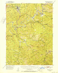 1952 Weaverville1952 Print · USGSTrinity County in the early fifties remains a landscape defined by its mining roots and river-canyon settlements. Genealogists and historians can trace family locations from the Blanchard Flat School and Lowden Ranch to early industry at the La Grange Mine.2 unique versions available
 - 1958 Map of Redding
 1958 Redding1958 Print · USGSNorthern California's valley and mountain landscapes are captured in the late fifties, showing the region as new reservoirs reshaped the river systems. Genealogists and historians can trace rail-side towns like Cottonwood, the military presence at Red Bluff Air Force Station, and mountain outposts like Weaverville.5 unique versions available
 - 1982 Map of Weaverville
 1982 Weaverville1982 Print · USGSTrinity County's gold-mining legacy is on full display here in the early 1980s, from the hydraulic scars of the La Grange Mine to the banks of the Trinity River. Genealogists and historians can trace old sites like Readings Bar and the Union Hill Mine.
 - 1984 Map of Redding
 1984 Redding1984 Print · USGSThe Shasta County region in the mid-1980s reveals a landscape of massive reservoirs and active mining districts. Researchers can trace the development of Redding and Enterprise or locate historic mineral sites like Iron Mountain Mine and Keystone Mine.2 unique versions available
 - 1998 Map of Weaverville, 2003 Print
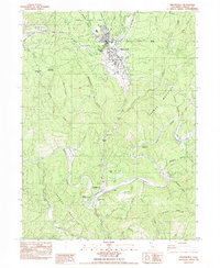
 1998 Weaverville2003 Print · USGSWeaverville and the Trinity River corridor are shown at the end of the twentieth century, balancing a deep gold-mining legacy with forest management. Researchers can trace historic hydraulic operations at La Grange Mine or locate family sites near Douglas City and Steiner Flat.
 - 2012 Map of Weaverville, 2012 Print
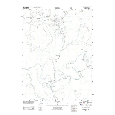 2012 Weaverville2012 Print · USGSCovers Douglas City, including Weaverville, Trinity County, and other nearby areas
 - 2015 Map of Weaverville, 2015 Print
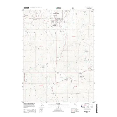 2015 Weaverville2015 Print · USGSCovers Douglas City, including Weaverville, Trinity County, and other nearby areas
 - 2018 Map of Weaverville, 2018 Print
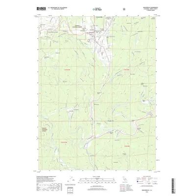 2018 Weaverville2018 Print · USGSCovers Douglas City, including Weaverville, Trinity County, and other nearby areas
 - 2022 Map of Weaverville, 2022 Print
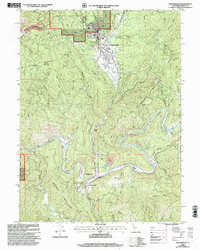
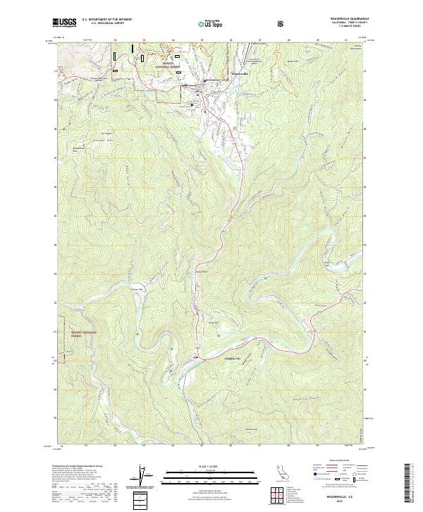 2022 Weaverville2022 Print · USGSWeaverville and the Trinity River corridor are documented here in the early 2020s, showing the intersection of civic history and the wilderness. Researchers can trace local landmarks like the Trinity County Courthouse and Weaverville Cemetery or locate riverside points at Douglas City and Poker Bar.
End of results
Showing maps 1-13 of 13
Top cities near Douglas City
Frequently asked questions
- What are the different types of historical maps available for Douglas City?
- What is the oldest map of Douglas City?
- Where can I purchase historical maps of Douglas City for my home or office?
- Where can I download high-res historical maps of Douglas City?
- Are there historical topographic maps available for Douglas City?
- Is there historical aerial imagery available for Douglas City?
- Where are historical maps of Douglas City sourced from?