Old Maps of Challenge, California for Genealogy
Trace your family roots with 17 historic maps of Challenge. These high-res maps reveal old neighborhoods, homesites, landmarks, and streets — helping you uncover where your ancestors lived and how the area evolved over time.
- Explore historic neighborhoods: Identify where your relatives may have lived in the 1800s or 1900s.
- Compare maps over time: Trace the changes in streets, buildings, and landmarks for multi-generational research.
- Perfect for genealogy & ancestry research: Used by family historians and researchers to map out lineage and migration.
These maps are an incredible resource for exploring your personal connection to Challenge's past.
Challenge, CA maps
(17)- 1888 Map of Smartsville
 1888 Smartsville1888 Print · USGSGold Country was in its industrial prime during the late eighteen-hundreds, with deep-shaft mines and hydraulic camps dotting the Sierra foothills. Researchers can trace early family holdings and mining claims through landmarks like French Corral, the North Star Mine, and the historic settlement of Timbuctoo.
 - 1891 Map of Smartsville
 1891 Smartsville1891 Print · USGSGold Country in the late nineteenth century was a landscape of deep mines and timber rails. This survey allows researchers to trace the industrial footprint of the Idaho and North Star Mine alongside vanished camps like Condemned Bar and French Corral.
 - 1892 Map of Smartsville
 1892 Smartsville1892 Print · USGSThe gold-bearing ridges of the Sierra foothills are captured here in the late nineteenth century, showing the height of the hard-rock mining boom. Researchers can trace the narrow-gauge rail lines and locate famous claims including the Empire Mine, Idaho Mine, and the Sulphuret Works.
 - 1894 Map of Smartsville
 1894 Smartsville1894 Print · USGSIn the mid-1880s, the Sierra foothills around Nevada City and Grass Valley were a hive of mining and ranching activity. Genealogists and historians can trace old homesteads like Lanes Ranch, follow the Nevada Co Narrow Gauge RR, and locate forgotten camps like Rough & Ready.
 - 1895 Map of Smartsville
 1895 Smartsville1895 Print · USGSThe Northern Mother Lode thrives during the peak of industrial quartz mining in the late nineteenth century. Researchers can trace the complex rail and mine networks of Nevada City and Grass Valley, alongside historic outposts like Smartsville and Rough & Ready.6 unique versions available
 - 1948 Map of Nevada City, 1953 Print
 1948 Nevada City1953 Print · USGSNevada City and the Yuba River canyons are captured here in the late 1940s, just as modern reservoirs began to reshape the old gold country. Genealogists and historians can trace family-named sites like Godfrey Ranch (Pike PO), Pleasant Valley Sch, and the Nevada City Rancheria.4 unique versions available
 - 1948 Map of Challenge, 1971 Print
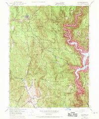 1948 Challenge1971 Print · USGSThe foothills of the Sierra Nevada are shown here just as the Bullards Bar Reservoir began to reshape the Yuba River canyon in the late sixties. Researchers can trace historic family lands like Indiana Ranch alongside mining operations including the Red Cross Mine and Horseshoe Mine.4 unique versions available
 - 1950 Map of Challenge
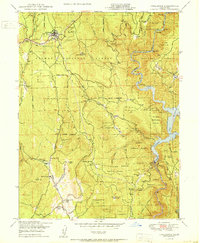 1950 Challenge1950 Print · USGSThe northern Sierra foothills around Challenge are captured here at mid-century, before modern development reshaped the timber and mining landscape. Genealogists and researchers can trace family holdings like Indiana Ranch and the Girot Ranch or locate old operations at the Horseshoe Mine.3 unique versions available
 - 1958 Map of Chico, 1962 Print
 1958 Chico1962 Print · USGSMid-century Northern California comes to life across the Central Valley and high Sierras as the postwar economy transformed the landscape. Trace the rail lines of the Southern Pacific RR, locate family roots near Chico Cem, or explore the early layout of Paradise and Beale Air Force Base.4 unique versions available
 - 1960 Map of Chico
 1960 Chico1960 Print · USGSThe Northern California high country and Sacramento Valley meet in this 1960s-era landscape of mining towns and river settlements. Trace the rail-and-water economy of the gold country through the Empire Mine, Beale Air Force Base, and the Western Pacific Railroad.
 - 1993 Map of Yuba City, 1994 Print
 1993 Yuba City1994 Print · USGSThe Sacramento Valley and Sierra Nevada foothills meet in the 1990s, where agricultural bypasses and river networks surround the iconic Sutter Buttes. Researchers can trace the rail corridors of the Southern Pacific and Western Pacific through hubs like Marysville and Gridley.
 - 1995 Map of Challenge
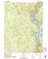 1995 Challenge1995 Print · USGSThe northern Sierra foothills are captured in the mid-1990s as timber and hydroelectric interests shaped the landscape. Genealogists and historians can trace family-named sites like Keystone Cemetery, Baker Ranch, and the old settlement of Challenge.
 - 2000 Map of Challenge, 2003 Print
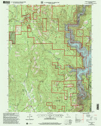 2000 Challenge2003 Print · USGSThe northern Sierra foothills are documented here at the turn of the millennium, showing the intersection of Plumas and Yuba counties. Local historians can trace family-named sites such as Whitehead Ranch, Cummings Ranch, and the Keystone Cemetery alongside the waters of the Bullards Bar Reservoir.
 - 2012 Map of Challenge, 2012 Print
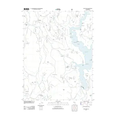 2012 Challenge2012 Print · USGSThe northern Sierra foothills are documented here in the early twenty-first century, centered on the historic timber and ranching communities of Challenge and Sharon Valley. Researchers can trace the legacy of family landholdings at Indiana Ranch or locate recreation sites along the New Bullards Bar Reservoir such as Madrone Cove Campground.
 - 2015 Map of Challenge, 2015 Print
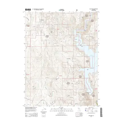 2015 Challenge2015 Print · USGSThe northern Sierra Nevada foothills come into sharp focus in this 2010s survey of the mountain corridor between Challenge and Sharon Valley. Genealogists and hikers can trace the winding paths to Greenville, Fountain House, and numerous river landmarks like Sucker Bar.
 - 2018 Map of Challenge, 2018 Print
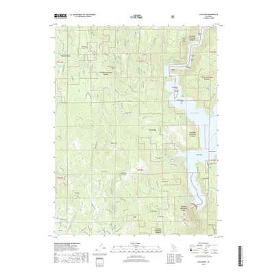 2018 Challenge2018 Print · USGSThe foothills of the Sierra Nevada are pictured here during the late twenty-tens, where the New Bullards Bar Reservoir meets the timberlands of the Plumas National Forest. Local history researchers can trace old canyon features like Missouri Bar and Sucker Bar or locate family sites near Sharon Valley and Challenge.
 - 2022 Map of Challenge, 2022 Print
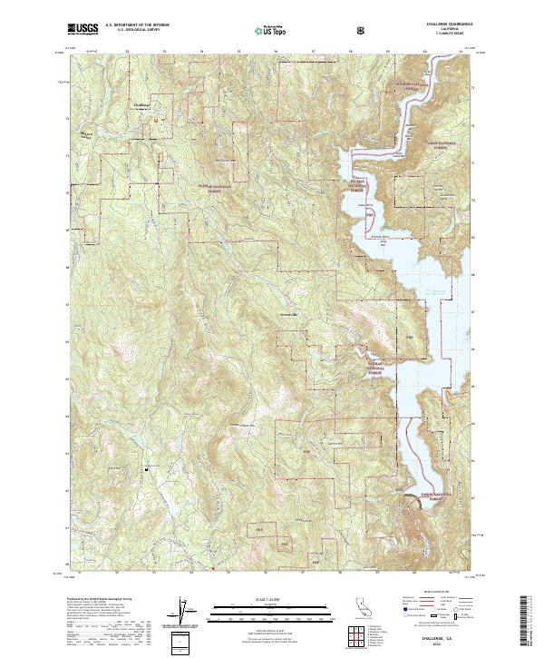 2022 Challenge2022 Print · USGSThe foothills of the northern Sierra Nevada come into focus here, showing the timber and reservoir lands near Challenge and Sharon Valley in the 2020s. Researchers can locate family landmarks such as Keystone Cem and Clark Cem or trace the shoreline of the New Bullards Bar Reservoir.
End of results
Showing maps 1-17 of 17
Top cities near Challenge
Frequently asked questions
- What are the different types of historical maps available for Challenge?
- What is the oldest map of Challenge?
- Where can I purchase historical maps of Challenge for my home or office?
- Where can I download high-res historical maps of Challenge?
- Are there historical topographic maps available for Challenge?
- Is there historical aerial imagery available for Challenge?
- Where are historical maps of Challenge sourced from?